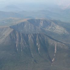
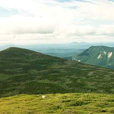
White Cap Mountain, Mountain summit in Piscataquis County, Maine, US.
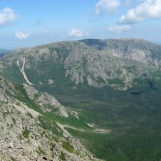
White Cap Mountain is a summit in Piscataquis County, Maine, reaching 3,654 feet (1,113 meters) in elevation. The trail climbs steeply at first, then eases as it approaches the peak, where hikers find open views of the surrounding landscape.
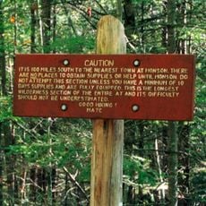
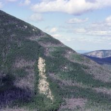
The mountain marks an important waypoint for hikers traveling the Appalachian Trail before reaching Mount Katahdin. This location became established as a natural stopping point that allowed trekkers to prepare for their final push.
The mountain stands as part of the New England Fifty Finest peaks, drawing regular visits from hiking communities tracking notable summits.
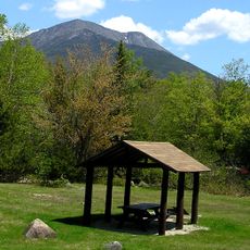
Access comes by way of Frenchtown Road, with parking spots available along the roadside near the Second West Branch Pond trailhead. Arriving early in the day helps ensure you find a place to park and have plenty of daylight for your hike.
This summit sits on a natural watershed divide that directs water flow toward multiple branches of the Pleasant River system and eventually Penobscot Bay. This geological role makes it a fascinating landmark for understanding how the landscape channels water across the region.
The community of curious travelers
AroundUs brings together thousands of curated places, local tips, and hidden gems, enriched daily by 60,000 contributors worldwide.