Enable Location

We need your location to show you interesting places around you

Discover nearby places

Find interesting locations and hidden gems around you

Precise directions

Get accurate directions and distances to places

Your location is never shared with other users. It's only used when you tap the location button.

Mount Coe

Log in to your account

Join the adventure

Create your free account and start exploring (like 60k+ others)

We will send you a code to connect

or
Continue with Google
Continue with Apple
By continuing, you accept our Terms and Conditions and our Privacy Policy

Check your inbox

We've sent a pincode in your inbox. Please enter the code below.

Mount Coe

Mount Coe, Mountain summit in Baxter State Park, Maine, United States

Description

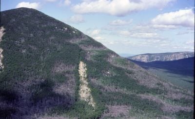
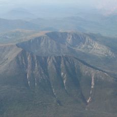
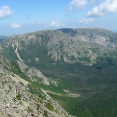
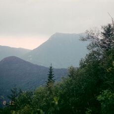
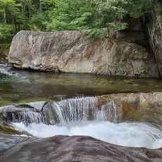
Mount Coe is a mountain summit in Baxter State Park that features exposed granite ledges and steep rocky terrain that becomes more challenging higher up the trail. Multiple streams must be crossed on the ascent, and the upper sections require rock scrambling through steep passages.

History

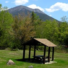
The mountain became part of Baxter State Park in the early 1900s when significant land acquisitions protected this region as a wilderness area. This action preserved the northern Maine forest landscape for future generations.

Culture

The mountain is part of a popular regional climbing challenge that attracts hikers seeking to complete all the highest peaks across New England. Climbers from various backgrounds come together around this shared goal.

Practical

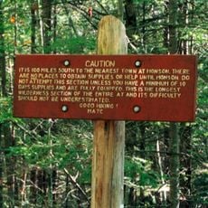
The main route follows established trails totaling about 6.8 miles round trip that include water crossings and steep sections. Waterproof footwear is essential, and hikers should bring plenty of water and allow several hours for the full ascent and descent.

Did you know?

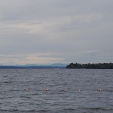
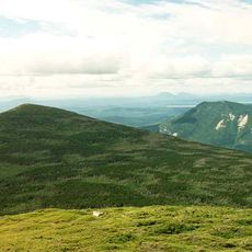
From the summit you can see down into the Klondike Basin and across to the Nesowadnehunk Valley, two distinctive landscape features of the park. The mountain connects to neighboring peaks through intersecting trails, making extended hiking adventures possible without retracing your steps.

Location
GPS coordinates
45.93366,-69.00921
Latest update
December 14, 2025 18:07

AroundUs brings together thousands of curated places, local tips, and hidden gems, enriched daily by 60,000 contributors worldwide. Discover all places nearby (Maine).

Around this place
Show the full map
« Mount Coe - Mountain summit in Baxter State Park, Maine, United States » is provided by Around Us (aroundus.com). Images and texts are derived from Wikimedia project under a Creative Commons license. You are allowed to copy, distribute, and modify copies of this page, under the conditions set by the license, as long as this note is clearly visible.

Discover hidden gems everywhere you go!

From secret cafés to breathtaking viewpoints, skip the crowded tourist spots and find places that match your style. Our app makes it easy with voice search, smart filtering, route optimization, and insider tips from travelers worldwide. Download now for the complete mobile experience.

Around Us App Screenshot

A unique approach to discovering new places

Le Figaro

All the places worth exploring

France Info

A tailor-made excursion in just a few clicks

20 Minutes

Around Us
Travel Guide & Maps
Download

Send to your phone

QR Code
1

Open the camera app on your mobile.

2

Point at the QR code with your camera. A notification will appear.

3

Tap the notification to open the link.