Enable Location

We need your location to show you interesting places around you

Discover nearby places

Find interesting locations and hidden gems around you

Precise directions

Get accurate directions and distances to places

Your location is never shared with other users. It's only used when you tap the location button.

Log in to your account

Start exploring — it's free

Trusted by 62,825 travelers worldwide

Continue with Google
Continue with Apple
or

We will send you a code to connect

By continuing, you accept our Terms and Conditions and our Privacy Policy

Check your inbox

We've sent a pincode in your inbox. Please enter the code below.

Northeast Piscataquis

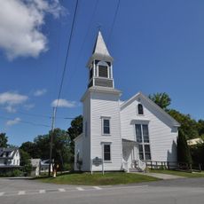
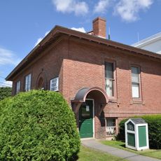
Northeast Piscataquis, Administrative territory in Piscataquis County, Maine.

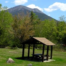
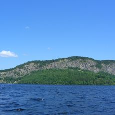
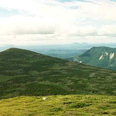
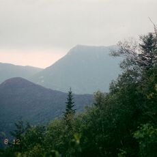
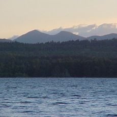
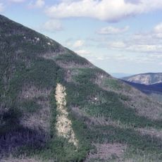
Northeast Piscataquis is an unorganized territory in Maine's largest county, covering vast stretches of forested land managed by county government. The region spans multiple townships and remains largely undeveloped, with dense forests and waterways forming the backbone of the landscape.

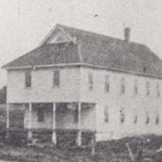
The territory was formally organized after the town of Williamsburg was dissolved and incorporated into the county system in 1940. This merger reflected changing patterns of settlement and governance in rural Maine.

The territory maintains a population density of 0.2 inhabitants per square mile, with residents spread throughout the vast wilderness landscape.

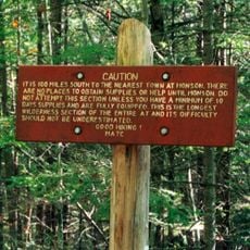
Access to the territory is mainly by way of forest roads maintained by county services. Visitors should prepare for remote conditions and consider seasonal changes, as winter weather can make many routes challenging.

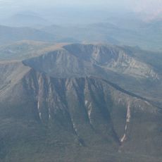
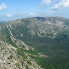
Mount Katahdin, Maine's highest peak towering over 5,000 feet, lies within nearby Baxter State Park. This legendary summit marks the northern terminus of the Appalachian Trail and draws hikers from around the world.

The community of curious travelers

AroundUs brings together thousands of curated places, local tips, and hidden gems, enriched daily by 60,000 contributors worldwide.

Start exploring
GPS coordinates
45.91028,-69.08694
Latest update
December 7, 2025 20:40
Around this place
Show the full map
« Northeast Piscataquis - Administrative territory in Piscataquis County, Maine » is provided by Around Us (aroundus.com). Images and texts are derived from Wikimedia project under a Creative Commons license. You are allowed to copy, distribute, and modify copies of this page, under the conditions set by the license, as long as this note is clearly visible.

Discover hidden gems everywhere you go!

From secret cafés to breathtaking viewpoints, skip the crowded tourist spots and find places that match your style. Our app makes it easy with voice search, smart filtering, route optimization, and insider tips from travelers worldwide. Download now for the complete mobile experience.

Around Us App Screenshot

A unique approach to discovering new places

Le Figaro

All the places worth exploring

France Info

A tailor-made excursion in just a few clicks

20 Minutes

Around Us
Travel Guide & Maps
Download

Send to your phone

QR Code
1

Open the camera app on your mobile.

2

Point at the QR code with your camera. A notification will appear.

3

Tap the notification to open the link.