Enable Location

We need your location to show you interesting places around you

Discover nearby places

Find interesting locations and hidden gems around you

Precise directions

Get accurate directions and distances to places

Your location is never shared with other users. It's only used when you tap the location button.

Penobscot County

Log in to your account

Start exploring — it's free

Trusted by 61,841 travelers worldwide

Continue with Google
Continue with Apple
or

We will send you a code to connect

By continuing, you accept our Terms and Conditions and our Privacy Policy

Check your inbox

We've sent a pincode in your inbox. Please enter the code below.

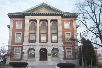
Penobscot County, Administrative division in Maine, United States

Description

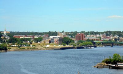
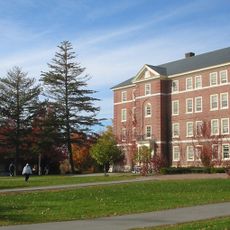
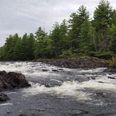
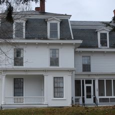
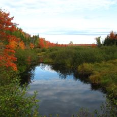
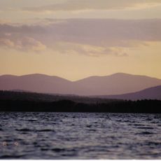
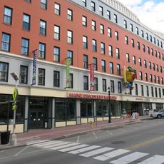
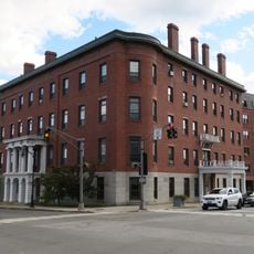
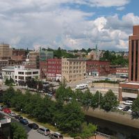
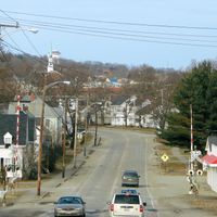
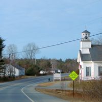
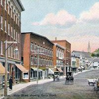
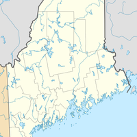
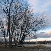
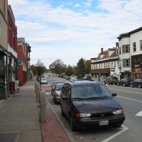
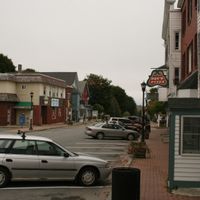
Penobscot County is an administrative division in northeastern Maine covering roughly 3,560 square kilometers, encompassing mountains, rivers, forests, and the city of Bangor as its main urban hub. The territory blends rural landscapes with urban structures.

History

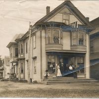
The county was established in 1816 from portions of Hancock County when Maine was still part of the Commonwealth of Massachusetts. Its creation reflects the territorial reorganization of New England during early American statehood.

Culture

The region maintains deep ties to the Penobscot Nation, visible in place names and local landmarks throughout the area. These roots continue to shape how the community understands itself today.

Practical

The county is best explored by car since the area is spread across a wide region with limited public transit options. Bangor lies centrally and offers the most services and facilities for visitors.

Did you know?

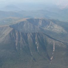
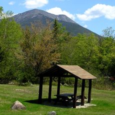
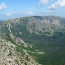
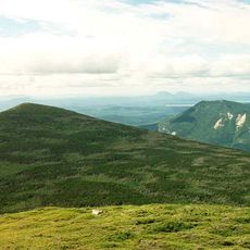
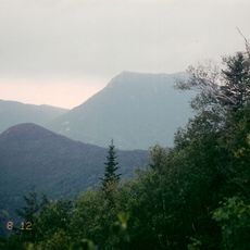
East Turner Mountain stands as the highest peak in the county and sits right next to Baxter State Park. Hikers in the area can find the mountain landscape shifts dramatically at this boundary between two important natural regions.

Location
Inception
1816
Capital city
Bangor
Shares border with
Piscataquis County, Aroostook County, Washington County, Hancock County, Waldo County, Somerset County
GPS coordinates
45.17193,-68.72247
Latest update
December 17, 2025 10:06

AroundUs brings together thousands of curated places, local tips, and hidden gems, enriched daily by 60,000 contributors worldwide. Discover all places nearby (Maine).

Around this place
Katahdin
United States of America

Katahdin

83 km
University of Maine
United States of America

University of Maine

30.6 km
Hundred-Mile Wilderness
United States of America

Hundred-Mile Wilderness

60.2 km
Baxter State Park
United States of America

Baxter State Park

97.3 km
United States of America

Katahdin Woods and Waters National Monument

89.6 km
Gulf Hagas
United States of America

Gulf Hagas

58.5 km
Thomas Hill Standpipe
United States of America

Thomas Hill Standpipe

40.9 km
Katahdin Iron Works
United States of America

Katahdin Iron Works

46.6 km
Mount Hope Cemetery
United States of America

Mount Hope Cemetery

38.7 km
Hampden Academy
United States of America

Hampden Academy

48.9 km
Bangor Theological Seminary
United States of America

Bangor Theological Seminary

41.5 km
United States of America

Chesuncook Lake

102.8 km
Dorothea Dix Psychiatric Center
United States of America

Dorothea Dix Psychiatric Center

39.5 km
Bangor Public Library
United States of America

Bangor Public Library

41.1 km
United States of America

Schoodic Lake

27.4 km
United States of America

Peaks-Kenny State Park

44 km
Hamlin Peak
United States of America

Hamlin Peak

85.3 km
Hannibal Hamlin House
United States of America

Hannibal Hamlin House

41.6 km
North Brother
United States of America

North Brother

89.8 km
Sunkhaze Meadows National Wildlife Refuge
United States of America

Sunkhaze Meadows National Wildlife Refuge

24.9 km
White Cap Mountain
United States of America

White Cap Mountain

59.1 km
United States of America

Nicatous Lake

46.2 km
Maine Discovery Museum
United States of America

Maine Discovery Museum

41.6 km
United States of America

Black Cap Mountain

48.2 km
United States of America

University of Maine Museum of Art

41.3 km
United States of America

Hudson Museum

30.6 km
Bangor House
United States of America

Bangor House

41.8 km
Doubletop Mountain
United States of America

Doubletop Mountain

89 km
Show the full map
« Penobscot County - Administrative division in Maine, United States » is provided by Around Us (aroundus.com). Images and texts are derived from Wikimedia project under a Creative Commons license. You are allowed to copy, distribute, and modify copies of this page, under the conditions set by the license, as long as this note is clearly visible.

Discover hidden gems everywhere you go!

From secret cafés to breathtaking viewpoints, skip the crowded tourist spots and find places that match your style. Our app makes it easy with voice search, smart filtering, route optimization, and insider tips from travelers worldwide. Download now for the complete mobile experience.

Around Us App Screenshot

A unique approach to discovering new places

Le Figaro

All the places worth exploring

France Info

A tailor-made excursion in just a few clicks

20 Minutes

Around Us
Travel Guide & Maps
Download

Send to your phone

QR Code
1

Open the camera app on your mobile.

2

Point at the QR code with your camera. A notification will appear.

3

Tap the notification to open the link.