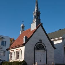
Île d'Orléans, River island in the Saint Lawrence, Quebec, Canada
Île d'Orléans is a 34-kilometre-long river island in the Saint Lawrence, 5 kilometres east of Quebec City. It is separated from the mainland by the Île d'Orléans Channel to the northwest and the Grands Voiliers Channel to the southeast. Its hilly relief, small valleys and gradual crests reach about 150 metres at Sainte-Pétronille and Saint-Laurent.
French settlers established communities on the island during the early colonial period, making it one of the first settled areas in Quebec. This early colonization shaped the communities that remain there to this day.
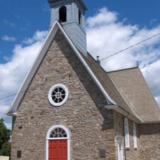
The name comes from Jacques Cartier, who in 1535 called it Île de Bacchus for its wild vines, then renamed it in 1536 for Henri, Duke of Orléans, son of Francis I. The Huron called it Minigo, and the island was later named Sainte-Marie and Saint-Laurent before reverting to Orléans. Its stone houses from the French Regime and the church of Saint-Pierre, often used as a film set, are visible today.
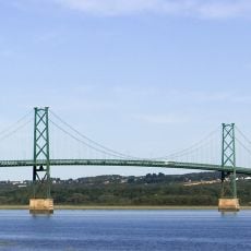
The island can be explored completely by following Route 368, which circles the perimeter and connects to the mainland via Beauport Bridge. This ring road offers multiple stopping points and allows visitors to travel at their own pace.
The island is twinned with the Île de Ré in France. Its north-eastern tip marks where the fresh water of the St. Lawrence begins to mix with salt water, the start of the river's estuary. The Hurons called it Minigo, meaning "Enchantress".
The community of curious travelers
AroundUs brings together thousands of curated places, local tips, and hidden gems, enriched daily by 93,957 contributors worldwide.