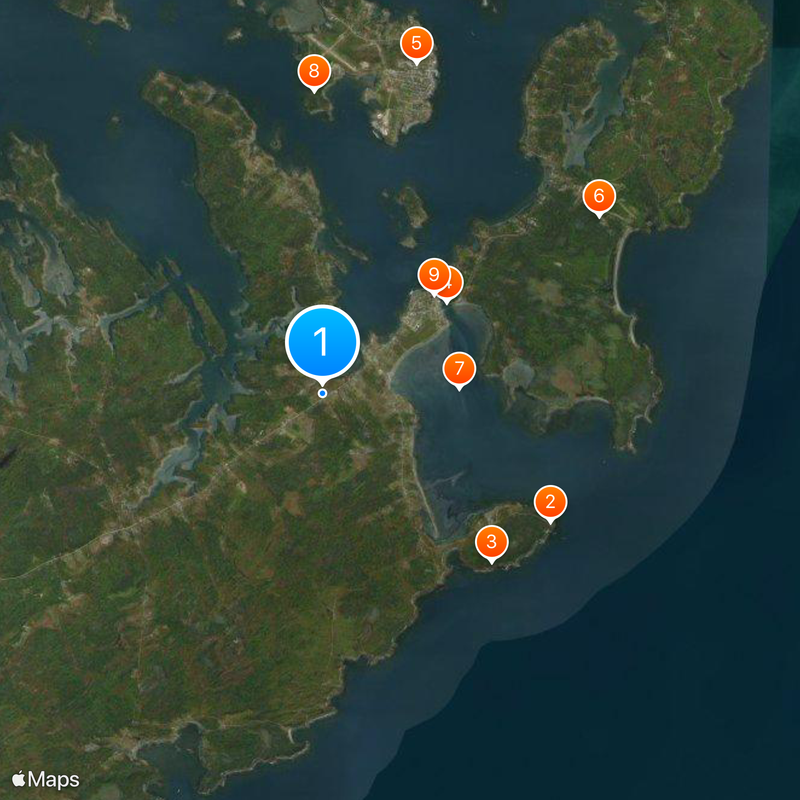
Lubec, Coastal town in Down East, United States.
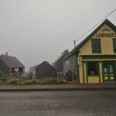
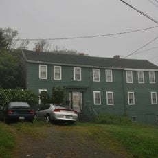
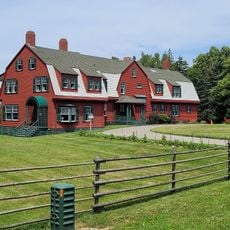
Lubec is a coastal town located at the easternmost point of the contiguous United States, stretching across its terrain along the Atlantic shore. The community includes residential areas, fishing harbors, and forested sections that blend together throughout the region.
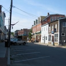
The town was established in 1811 and quickly grew into a center for timber processing and maritime activity. By the late 1800s, it had become a hub with multiple sawmills and shipbuilding operations that drove the local economy.
The town is named after Lübeck in Germany, reflecting a direct connection to German heritage that settlers brought to this remote corner of Maine. This naming choice shaped how the community understood its own identity.
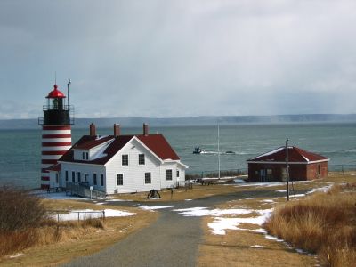
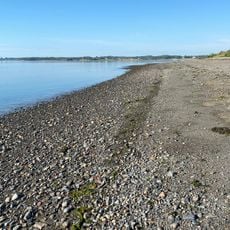
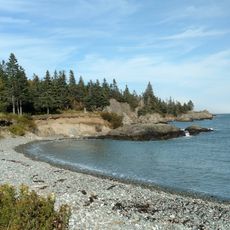
The town is best explored by keeping in mind the dramatic tidal changes that affect water levels twice daily, which shapes how the waterfront areas can be accessed. Visitors should plan their activities around these natural cycles to fully experience the coastal environment.
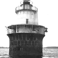
The area experiences some of the most extreme tidal swings in North America, with water levels changing by roughly 28 feet (8.5 meters) twice each day, fundamentally shaping how local fishing operations run. This dramatic natural rhythm affects everything from boat scheduling to infrastructure design in the community.
The community of curious travelers
AroundUs brings together thousands of curated places, local tips, and hidden gems, enriched daily by 60,000 contributors worldwide.