
Frye Island, human settlement in Cumberland County, Maine, United States of America
Location: Cumberland County
Elevation above the sea: 82 m
Website: http://www.fryeisland.com
Website: http://fryeisland.com
GPS coordinates: 43.84722,-70.51889
Latest update: March 3, 2025 14:21
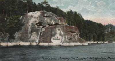

Sebago Lake
3.8 km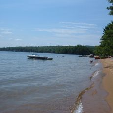
Sebago Lake State Park
9.5 km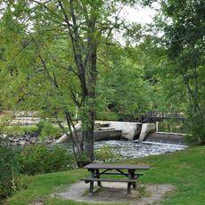
Songo Lock
10.6 km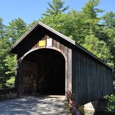
Babb's Bridge
10.7 km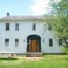
Nathaniel Hawthorne Boyhood Home
6.6 km
Marrett House
12.7 km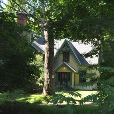
Maplewood Farm
18.2 km
Union Church
15.4 km
Great Falls Historic District
7.6 km
Goold House
11.5 km
Valley Lodge
15.8 km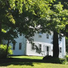
Parson Smith House
17.8 km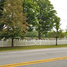
Paine Neighborhood Historic District
13.6 km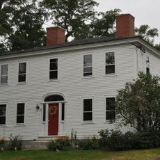
Richard Manning House
6.9 km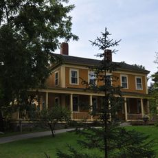
Isaac W. Dyer Estate
18.6 km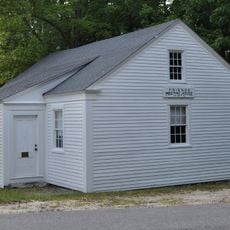
Friends Meetinghouse
13.7 km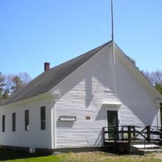
Dry Mills Schoolhouse
16.3 km
Capt. Josiah E. Chase Octagon House
17.6 km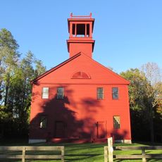
First Parish Meetinghouse
12.5 km
Freeman Farm Historic District
10.7 km
Steep Falls Library
12.2 km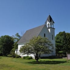
East Raymond Union Chapel
11.5 km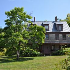
Dyke Mountain Annex
15.6 km
Stimson Memorial Hall
15.7 km
Manor House
16.9 km
Friends School
17.5 km
Elisha Purington House
16.8 km
Standish Corner Historic District
12.8 kmReviews
Visited this place? Tap the stars to rate it and share your experience / photos with the community! Try now! You can cancel it anytime.
Discover hidden gems everywhere you go!
From secret cafés to breathtaking viewpoints, skip the crowded tourist spots and find places that match your style. Our app makes it easy with voice search, smart filtering, route optimization, and insider tips from travelers worldwide. Download now for the complete mobile experience.

A unique approach to discovering new places❞
— Le Figaro
All the places worth exploring❞
— France Info
A tailor-made excursion in just a few clicks❞
— 20 Minutes