Enable Location

We need your location to show you interesting places around you

Discover nearby places

Find interesting locations and hidden gems around you

Precise directions

Get accurate directions and distances to places

Your location is never shared with other users. It's only used when you tap the location button.

Town of Hancock

Log in to your account

Start exploring — it's free

Trusted by 64,606 travelers worldwide

Continue with Google
Continue with Apple
or

We will send you a code to connect

By continuing, you accept our Terms and Conditions and our Privacy Policy

Check your inbox

We've sent a pincode in your inbox. Please enter the code below.

Discussion Reviews 1 Photos
13.5k Popularity

Town of Hancock, Administrative division in Delaware County, New York

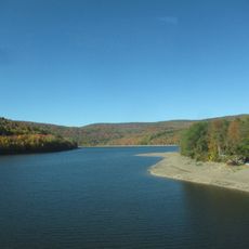
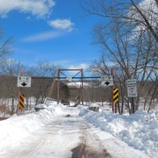
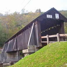
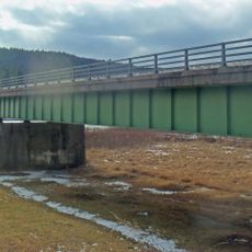
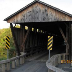
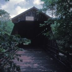
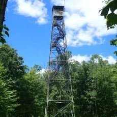
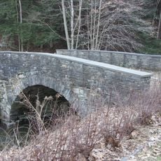
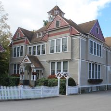
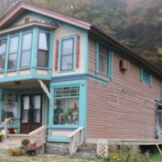
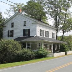
The Town of Hancock is a municipal division in Delaware County, New York, covering rolling terrain with forests and streams throughout the area. The landscape includes open farmland, wooded sections, and several waterways that shape how the community is distributed across the land.

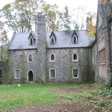
The Town of Hancock was founded in the early settlement period of the upper Delaware Valley and developed as a center for trading and lumber operations. The local economy was shaped for many years by forest resources and connections to regional trade routes.

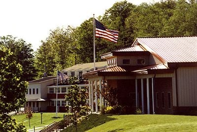
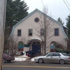
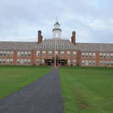
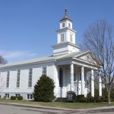
The Town of Hancock maintains regular community gatherings at the local government facilities, where residents participate in municipal decision-making processes.

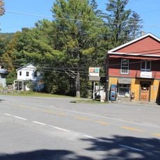
The town is best reached by regional roads that connect to larger cities in the area. Most daily services and shops are spread across the territory, so having a car makes getting around easier.

The area sits at a junction where watersheds of different river systems meet, with water flowing toward multiple directions. This geographical feature makes it a place where several drainage systems influence the land differently.

The community of curious travelers

AroundUs brings together thousands of curated places, local tips, and hidden gems, enriched daily by 60,000 contributors worldwide.

Start exploring
Location
GPS coordinates
41.95398,-75.28045
Latest update
December 7, 2025 20:26
Around this place
Dundas Castle
United States of America

Dundas Castle

34.4 km
Pepacton Reservoir
United States of America

Pepacton Reservoir

33.7 km
Cannonsville Reservoir
United States of America

Cannonsville Reservoir

15.4 km
St. Joseph's Seraphic Seminary
United States of America

St. Joseph's Seraphic Seminary

27.6 km
Little Equinunk Bridge
United States of America

Little Equinunk Bridge

20.1 km
Beaverkill Bridge
United States of America

Beaverkill Bridge

36.9 km
Lordville-Equinunk Bridge
United States of America

Lordville-Equinunk Bridge

11.1 km
Callicoon Bridge
United States of America

Callicoon Bridge

27.8 km
Agudas Achim Synagogue
United States of America

Agudas Achim Synagogue

38.2 km
Downsville Bridge
United States of America

Downsville Bridge

27.5 km
Van Tran Flat Bridge
United States of America

Van Tran Flat Bridge

37.4 km
Rock Rift Fire Observation Tower
United States of America

Rock Rift Fire Observation Tower

17.3 km
Jewish Center of Lake Huntington
United States of America

Jewish Center of Lake Huntington

34.2 km
Jeffersonville School
United States of America

Jeffersonville School

34.2 km
Hankins Stone Arch Bridge
United States of America

Hankins Stone Arch Bridge

21.9 km
Walton Grange No. 1454
United States of America

Walton Grange No. 1454

26.6 km
Parsonage Road Historic District
United States of America

Parsonage Road Historic District

32.8 km
Union Free School
United States of America

Union Free School

27.4 km
First Congregational Church of Walton
United States of America

First Congregational Church of Walton

27.2 km
Callicoon Methodist Church and Parsonage
United States of America

Callicoon Methodist Church and Parsonage

28 km
Damascus Historic District
United States of America

Damascus Historic District

32.2 km
Equinunk Historic District
United States of America

Equinunk Historic District

11.9 km
Rock Valley School
United States of America

Rock Valley School

17.6 km
Valleau Tavern
United States of America

Valleau Tavern

33 km
Anthony Manny House
United States of America

Anthony Manny House

22.3 km
Gardiner Place Historic District
United States of America

Gardiner Place Historic District

27 km
Callicoon National Bank
United States of America

Callicoon National Bank

27.8 km
Ellery Calkins House
United States of America

Ellery Calkins House

32.8 km
Show the full map
Reviews
Share your experience

No review yet

Discussions
Start a discussion...

No discussion yet

« Town of Hancock - Administrative division in Delaware County, New York » is provided by Around Us (aroundus.com). Images and texts are derived from Wikimedia project under a Creative Commons license. You are allowed to copy, distribute, and modify copies of this page, under the conditions set by the license, as long as this note is clearly visible.

Discover hidden gems everywhere you go!

From secret cafés to breathtaking viewpoints, skip the crowded tourist spots and find places that match your style. Our app makes it easy with voice search, smart filtering, route optimization, and insider tips from travelers worldwide. Download now for the complete mobile experience.

Around Us App Screenshot

A unique approach to discovering new places

Le Figaro

All the places worth exploring

France Info

A tailor-made excursion in just a few clicks

20 Minutes

Around Us
Travel Guide & Maps
Download

Send to your phone

QR Code
1

Open the camera app on your mobile.

2

Point at the QR code with your camera. A notification will appear.

3

Tap the notification to open the link.