
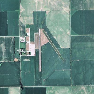
Harvard State Airport, airport in Nebraska, United States of America
Location: Clay County
Operator: State of Nebraska
GPS coordinates: 40.65498,-98.07673
Latest update: September 23, 2025 13:01

Stuhr Museum
35.7 km
Hastings Museum
27.3 km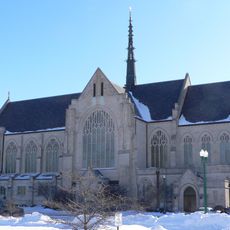
Cathedral of the Nativity of the Blessed Virgin Mary (Grand Island, Nebraska)
37.1 km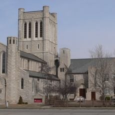
St. Mark's Pro-Cathedral
27.6 km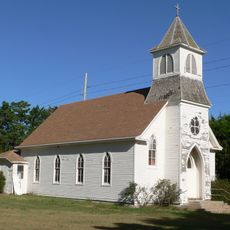
Saint Martin's Catholic Church
33.8 km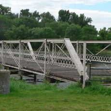
Nine Bridges Bridge
32 km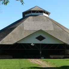
Chautauqua Pavilion
29.3 km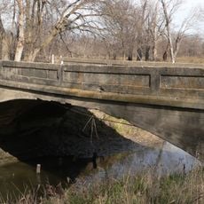
Big Blue River Bridge
29.7 km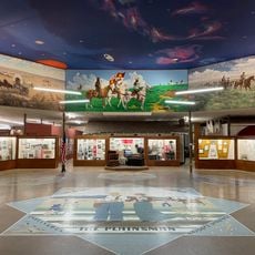
The Plainsman Museum
23.7 km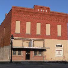
IOOF Opera House
29.7 km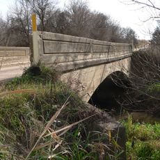
Deering Bridge
21.4 km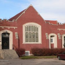
United Brethren Church
24.3 km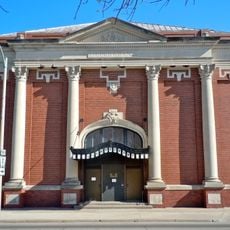
Liederkranz
37.2 km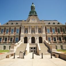
Hall County Courthouse
37.2 km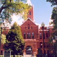
Hamilton County Courthouse
24.5 km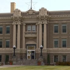
Clay County Courthouse
15 km
McCormick Hall
26 km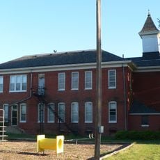
Glenville School
22.8 km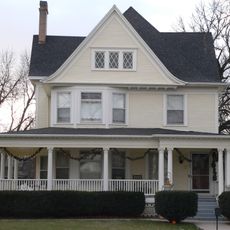
Streeter-Peterson House
24.4 km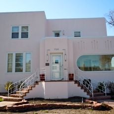
H. J. Bartenbach House
37.2 km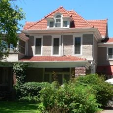
Nowlan-Dietrich House
26.9 km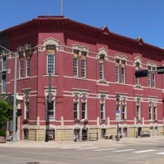
Nebraska Loan and Trust Company Building
27.7 km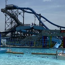
Island Oasis Water Park
35.7 km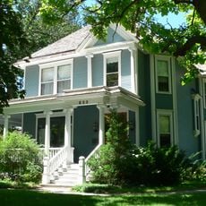
William Brach House
27.4 km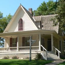
Isaac Newton Clark House
18.6 km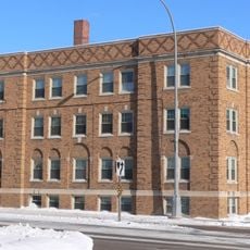
Lee Huff Apartment Complex
37 km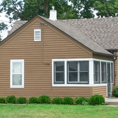
Heinrich Giese House
36.5 km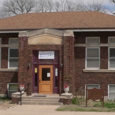
Fairfield Carnegie Library
25 kmReviews
Visited this place? Tap the stars to rate it and share your experience / photos with the community! Try now! You can cancel it anytime.
Discover hidden gems everywhere you go!
From secret cafés to breathtaking viewpoints, skip the crowded tourist spots and find places that match your style. Our app makes it easy with voice search, smart filtering, route optimization, and insider tips from travelers worldwide. Download now for the complete mobile experience.

A unique approach to discovering new places❞
— Le Figaro
All the places worth exploring❞
— France Info
A tailor-made excursion in just a few clicks❞
— 20 Minutes