Enable Location

We need your location to show you interesting places around you

Discover nearby places

Find interesting locations and hidden gems around you

Precise directions

Get accurate directions and distances to places

Your location is never shared with other users. It's only used when you tap the location button.

Clay County

Log in to your account

Start exploring — it's free

Trusted by 61,814 travelers worldwide

Continue with Google
Continue with Apple
or

We will send you a code to connect

By continuing, you accept our Terms and Conditions and our Privacy Policy

Check your inbox

We've sent a pincode in your inbox. Please enter the code below.

Clay County, County division in Nebraska, United States

Description

Clay County is an administrative area in southern Nebraska with Clay Center serving as its main government hub. The region includes several communities and is defined by agricultural land and protected natural areas.

History

The county was officially established in 1871 and named after Henry Clay, a prominent United States Senator and Secretary of State. Settlement grew as farming families arrived and built communities across the region.

Culture

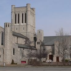
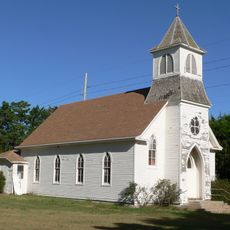
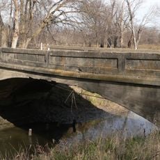
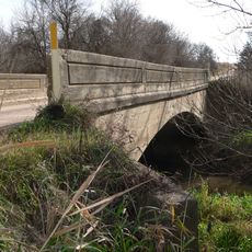
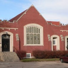
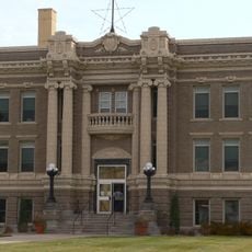
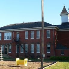
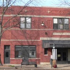
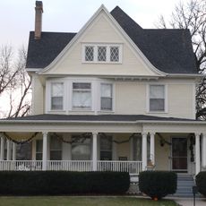
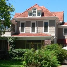
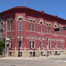
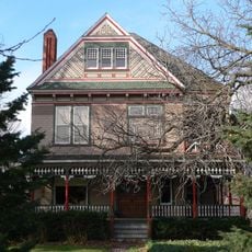
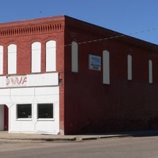
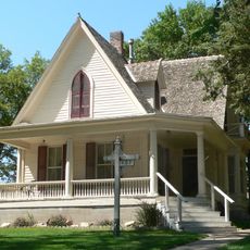
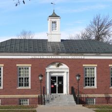
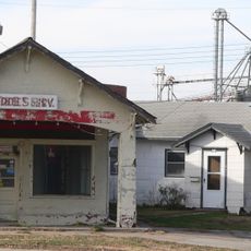
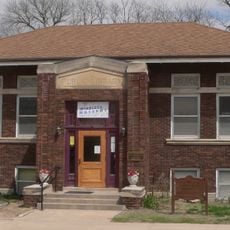
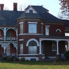
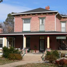
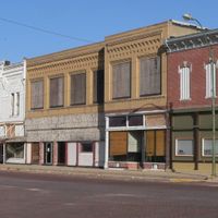
The county reflects its settlement heritage through preserved buildings and local traditions that visitors can discover throughout the region. These structures tell stories of how communities developed and adapted over generations.

Practical

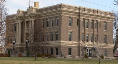
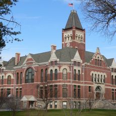
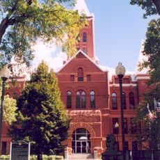
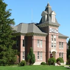
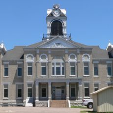
Government offices are located at the Clay County Courthouse in Clay Center and can be reached during standard business hours. The region is accessible by car with a mix of rural roads connecting the various communities throughout the county.

Did you know?

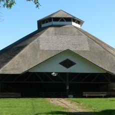
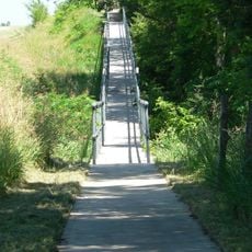
The region contains multiple protected wildlife and natural areas that preserve local ecological diversity. These conservation areas coexist with ongoing agricultural practices that have shaped the landscape for generations.

Location
Inception
1871
Capital city
Clay Center
Shares border with
Hamilton County, Nuckolls County, Adams County, Webster County, York County, Fillmore County
GPS coordinates
40.52000,-98.05000
Latest update
December 10, 2025 16:00

AroundUs brings together thousands of curated places, local tips, and hidden gems, enriched daily by 60,000 contributors worldwide. Discover all places nearby (Nebraska).

Around this place
Hastings Museum
United States of America

Hastings Museum

30.2 km
St. Mark's Pro-Cathedral
United States of America

St. Mark's Pro-Cathedral

29.8 km
Saint Martin's Catholic Church
United States of America

Saint Martin's Catholic Church

21.2 km
Chautauqua Pavilion
United States of America

Chautauqua Pavilion

31.5 km
Big Blue River Bridge
United States of America

Big Blue River Bridge

33.5 km
The Plainsman Museum
United States of America

The Plainsman Museum

38 km
Deering Bridge
United States of America

Deering Bridge

23.3 km
United Brethren Church
United States of America

United Brethren Church

38.8 km
Fillmore County Courthouse
United States of America

Fillmore County Courthouse

37.9 km
Hamilton County Courthouse
United States of America

Hamilton County Courthouse

38.9 km
Clay County Courthouse
United States of America

Clay County Courthouse

396 m
McCormick Hall
United States of America

McCormick Hall

28.5 km
Glenville School
United States of America

Glenville School

17.6 km
The Auditorium
United States of America

The Auditorium

37.9 km
Streeter-Peterson House
United States of America

Streeter-Peterson House

38.9 km
Nowlan-Dietrich House
United States of America

Nowlan-Dietrich House

29.6 km
Nebraska Loan and Trust Company Building
United States of America

Nebraska Loan and Trust Company Building

29.8 km
Nuckolls County Courthouse
United States of America

Nuckolls County Courthouse

35.2 km
George W. Smith House
United States of America

George W. Smith House

38.3 km
Lawrence Opera House
United States of America

Lawrence Opera House

31 km
William Brach House
United States of America

William Brach House

29.9 km
Isaac Newton Clark House
United States of America

Isaac Newton Clark House

18.6 km
Geneva United States Post Office
United States of America

Geneva United States Post Office

37.9 km
Warner's Filling Station and House
United States of America

Warner's Filling Station and House

37.7 km
Nelson Cemetery Walk
United States of America

Nelson Cemetery Walk

35.1 km
Fairfield Carnegie Library
United States of America

Fairfield Carnegie Library

10.9 km
J.M. Burk House
United States of America

J.M. Burk House

38.2 km
Dempster-Sloan House
United States of America

Dempster-Sloan House

38.4 km
Show the full map
Administrative divisions
« Clay County - County division in Nebraska, United States » is provided by Around Us (aroundus.com). Images and texts are derived from Wikimedia project under a Creative Commons license. You are allowed to copy, distribute, and modify copies of this page, under the conditions set by the license, as long as this note is clearly visible.

Discover hidden gems everywhere you go!

From secret cafés to breathtaking viewpoints, skip the crowded tourist spots and find places that match your style. Our app makes it easy with voice search, smart filtering, route optimization, and insider tips from travelers worldwide. Download now for the complete mobile experience.

Around Us App Screenshot

A unique approach to discovering new places

Le Figaro

All the places worth exploring

France Info

A tailor-made excursion in just a few clicks

20 Minutes

Around Us
Travel Guide & Maps
Download

Send to your phone

QR Code
1

Open the camera app on your mobile.

2

Point at the QR code with your camera. A notification will appear.

3

Tap the notification to open the link.