Enable Location

We need your location to show you interesting places around you

Discover nearby places

Find interesting locations and hidden gems around you

Precise directions

Get accurate directions and distances to places

Your location is never shared with other users. It's only used when you tap the location button.

Log in to your account

Start exploring — it's free

Trusted by 62,806 travelers worldwide

Continue with Google
Continue with Apple
or

We will send you a code to connect

By continuing, you accept our Terms and Conditions and our Privacy Policy

Check your inbox

We've sent a pincode in your inbox. Please enter the code below.

Burns Park

Burns Park, Municipal park in North Little Rock, Arkansas.

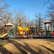
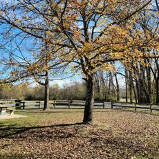
Burns Park is a large recreational area in North Little Rock with two golf courses, sports complexes, and various facilities spread throughout the grounds along the Arkansas River. The park contains different zones for various activities, from sports to quiet outdoor areas.

The land was once Camp Pike, a military training camp during World War I, with foxholes still visible across the grounds today. These remains show how the area served the military during that period.

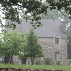
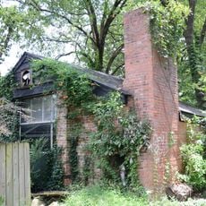
The park contains a log cabin from before the Civil War, a covered bridge, and a World War II tank that tell stories about how people lived and worked in this region. These structures stand as reminders of different eras that shaped the community.

The park can be reached from Interstate 40 Exit 150 and has parking areas, restrooms, and RV camping zones spread throughout the grounds. Plan enough time to explore since the space is large and offers many different activities.

A lake within the park serves as a training ground for the Arkansas Water Ski Club and also allows fishing from the bank or from boats. This body of water attracts people interested in water sports and fishing.

The community of curious travelers

AroundUs brings together thousands of curated places, local tips, and hidden gems, enriched daily by 60,000 contributors worldwide.

Start exploring
Location
GPS coordinates
34.79700,-92.31040
Latest update
December 12, 2025 12:00
« Burns Park - Municipal park in North Little Rock, Arkansas » is provided by Around Us (aroundus.com). Images and texts are derived from Wikimedia project under a Creative Commons license. You are allowed to copy, distribute, and modify copies of this page, under the conditions set by the license, as long as this note is clearly visible.

Discover hidden gems everywhere you go!

From secret cafés to breathtaking viewpoints, skip the crowded tourist spots and find places that match your style. Our app makes it easy with voice search, smart filtering, route optimization, and insider tips from travelers worldwide. Download now for the complete mobile experience.

Around Us App Screenshot

A unique approach to discovering new places

Le Figaro

All the places worth exploring

France Info

A tailor-made excursion in just a few clicks

20 Minutes

Around Us
Travel Guide & Maps
Download

Send to your phone

QR Code
1

Open the camera app on your mobile.

2

Point at the QR code with your camera. A notification will appear.

3

Tap the notification to open the link.