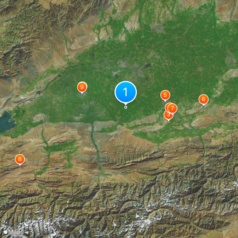
Fergana Region, Administrative division in eastern Uzbekistan.
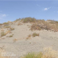
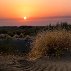
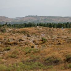
Fergana Region is an administrative division in eastern Uzbekistan situated within a triangular valley bordered by mountain ranges. The terrain contains fertile land where agriculture has shaped settlement patterns and land use for generations.
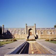
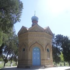
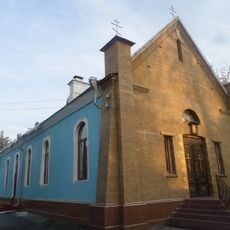
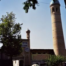
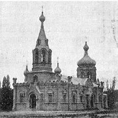
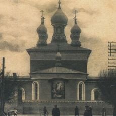
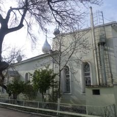
The region came under Arab control in the 8th century and later experienced invasions by Mongol and Timurid forces. These shifts in power left marks on the architecture and settlement patterns that remain visible today.
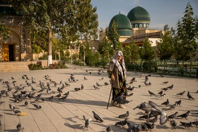
The region is home to several ethnic groups including Uzbeks, Tajiks, and Kyrgyz who live alongside one another and maintain their own customs. This diversity shows itself in the local markets, craft workshops, and the way people shape their daily lives here.
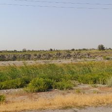
The area is known for cotton production, fruit orchards, and silk making, all dependent on extensive irrigation systems. Visitors should understand that the daily rhythm here is heavily shaped by agricultural activities and seasonal changes.
Archaeological finds from the Bronze Age reveal that people lived and traded here for thousands of years. These artifacts, some now in museums, tell the story of early civilizations that shaped this region.
Location: Uzbekistan
Inception: January 15, 1938
Capital city: Fergana
Elevation above the sea: 400 m
Shares border with: Namangan Region, Andijan Region, Osh Region, Batken Region
Website: http://en.ferghana.uz
GPS coordinates: 40.43000,71.35000
Latest update: December 20, 2025 00:33
Palace of Khudáyár Khán
36.9 km
Chapel of Saint Alexander Nevsky
35.9 km
Church of St. Sergiuy Radonezhkogo in Fergana
35.8 km
Khonakhan Mosque
32.2 km
Karkidon Reservoir
62.5 km
Храм Николая Чудотворца
37.8 kmKan-i-Gut cave
97.2 km
Church of Saints Constantine and Helena
37 km
Akbarobod natural monument
59.1 km
Saint Nicholas church
35.2 km
Bostonbuva natural monument
38.5 km
Yazyavan natural monument
31.1 km
Zilkha natural monument
21 km
Church of the Theotokos of Kazan
37 km
Rodnik Kasym-Bek-Bulak
73 km
Rodnik Kosh-Tepe
75.2 km
Rodnik Deng-Bulak
63.2 km
Rodnik Say-Bulak
68 km
Rodnik Tal-Bulak
61.9 km
Rodnik Toguz-Bulak (tubud sa Kirgistan, Osh Oblasty, lat 40,36, long 72,15)
68.6 km
Rodnik Kamrak-Bulak
71.4 km
Rodnik Dzhiyde-Bulak (tubud sa Kirgistan, Osh Oblasty, lat 40,40, long 72,23)
74.4 km
Rodnik Kamysh-Bulak
68.9 km
Аквапарк
36.4 km
Аква Парк
29.5 kmПамятники
60.9 kmМозаика
35.8 kmManor house
71 kmVisited this place? Tap the stars to rate it and share your experience / photos with the community! Try now! You can cancel it anytime.
Discover hidden gems everywhere you go!
From secret cafés to breathtaking viewpoints, skip the crowded tourist spots and find places that match your style. Our app makes it easy with voice search, smart filtering, route optimization, and insider tips from travelers worldwide. Download now for the complete mobile experience.
A unique approach to discovering new places❞
— Le Figaro
All the places worth exploring❞
— France Info
A tailor-made excursion in just a few clicks❞
— 20 Minutes