
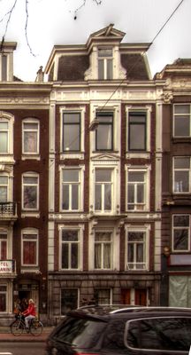
Stadhouderskade 67, building in Amsterdam, Netherlands
Location: Amsterdam
Inception: 1878
Architectural style: eclectic architecture
Address: Stadhouderskade 67
GPS coordinates: 52.35814,4.88980
Latest update: March 12, 2025 21:12

Heineken Experience
139 m
Weteringplantsoen
109 m
Van Nispenhuis
119 m
Fusillade
71 m
Freddy Heinekenbrug
82 m
Mother Earth
140 m
Willemshuis
119 m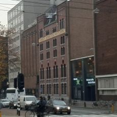
Heineken Brewery
148 m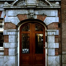
Stadhouderskade 60-60a
84 m
Kapel van Sint Josephs Gezellen-Vereeniging
119 m
Eerste Jacob van Campenstraat 59
87 m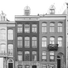
Stadhouderskade 56-57
104 m
Het kompas
116 m
Stadhouderskade 64
20 m
Stadhouderskade 72-73
26 m
Singelhoven
4 m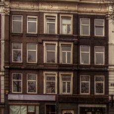
Stadhouderskade 65-66
9 m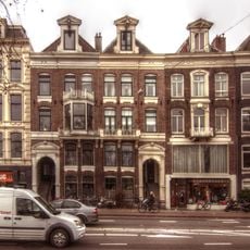
Stadhouderskade 74
40 m
Stadhouderskade 62-63
48 m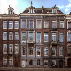
Stadhouderskade 52-53
142 m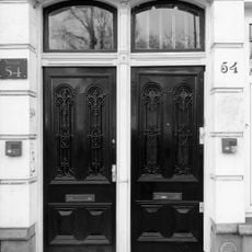
Stadhouderskade 54
133 m
Stadhouderskade 77
62 m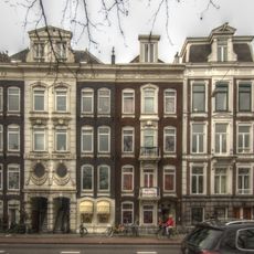
Stadhouderskade 68
3 m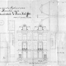
Stadhouderskade 58-59
92 m
Stadhouderskade 71
17 m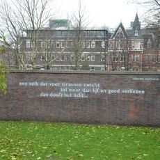
Van Randwijk-monument
126 m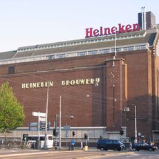
Voormalig bedrijfsgebouw / opslaggebouw / koelhuis van de Heineken Brouwerij
101 m
Woonblok met 103 arbeiderswoningen en twee winkels, gebouwd in opdracht van de Vereeniging ten behoeve der Arbeidersklasse te Amsterdam
154 mVisited this place? Tap the stars to rate it and share your experience / photos with the community! Try now! You can cancel it anytime.
Discover hidden gems everywhere you go!
From secret cafés to breathtaking viewpoints, skip the crowded tourist spots and find places that match your style. Our app makes it easy with voice search, smart filtering, route optimization, and insider tips from travelers worldwide. Download now for the complete mobile experience.

A unique approach to discovering new places❞
— Le Figaro
All the places worth exploring❞
— France Info
A tailor-made excursion in just a few clicks❞
— 20 Minutes