
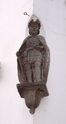
Keizer Hendrik IV, public artwork by Evert van Kooten Niekerk in Utrecht, Netherlands
Location: Utrecht
Inception: 1850
Creator: Evert van Kooten Niekerk
GPS coordinates: 52.09000,5.11722
Latest update: March 10, 2025 20:34
St. Mary's Church
100 m
Stairway to Heaven
19 m
Huis Zoudenbalch
82 m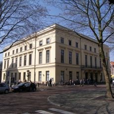
Gebouw voor Kunsten en Wetenschappen (Utrecht)
31 m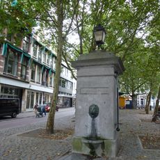
Mariapomp
65 m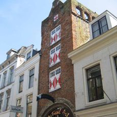
Huis Zoudenbalch
41 m
Mariaplaats 9, Utrecht
28 m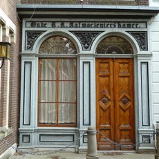
Mariahoek 16, Utrecht
89 m
Mariaplaats 51, Utrecht
92 m
Achter Clarenburg 2, Utrecht
103 m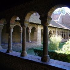
Mariakerk: southern arm of the cloister
88 m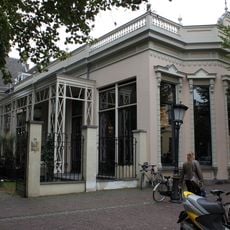
Mariaplaats 14, Utrecht
32 m
Zadelstraat 45, Utrecht
90 m
Donkerstraat 23, Utrecht
83 m
Donkerstraat 25, Utrecht
85 m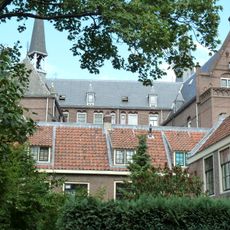
Mariahoek 14, Utrecht
102 m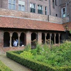
Mariakerk: eastern arm of the cloister
74 m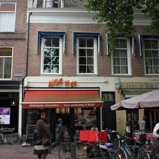
Mariaplaats 10, Utrecht
27 m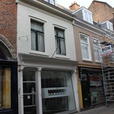
Mariastraat 30, Utrecht
37 m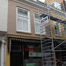
Mariastraat 32, Utrecht
33 m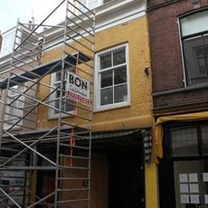
Mariastraat 34, Utrecht
36 m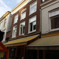
Mariastraat 4, Utrecht
63 m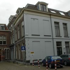
Oude Mannen- en Vrouwenhuis, Utrecht
102 m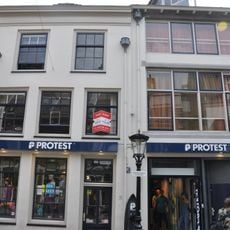
Voor Clarenburg 10, Utrecht
103 m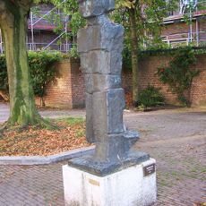
Gehender (Gaande man)
63 m
Herenhuis met decoratief gepleisterde gevel
86 m
Mariaplaats 50, Utrecht
90 m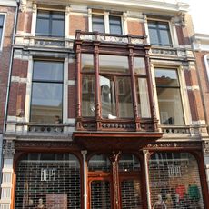
Steenweg 44, Utrecht
74 mVisited this place? Tap the stars to rate it and share your experience / photos with the community! Try now! You can cancel it anytime.
Discover hidden gems everywhere you go!
From secret cafés to breathtaking viewpoints, skip the crowded tourist spots and find places that match your style. Our app makes it easy with voice search, smart filtering, route optimization, and insider tips from travelers worldwide. Download now for the complete mobile experience.

A unique approach to discovering new places❞
— Le Figaro
All the places worth exploring❞
— France Info
A tailor-made excursion in just a few clicks❞
— 20 Minutes