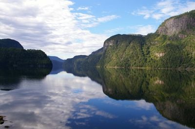
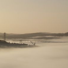
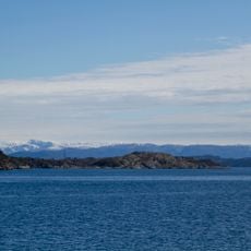
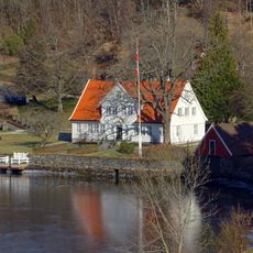
Osterfjorden, Natural fjord in Vestland county, Norway.
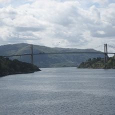
Osterfjorden stretches roughly 27 kilometers from Romarheimsfjorden to Knarvik, bounded by steep rock walls that rise sharply from the water below. The fjord connects with several others, creating a network of waterways that links multiple coastal areas across Vestland.
The fjord was carved by glaciers during the last ice age, creating the deep narrow channel that exists today. The surrounding region was historically part of Hosanger municipality before administrative boundaries changed.
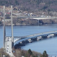
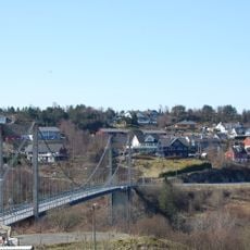
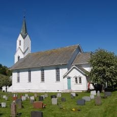
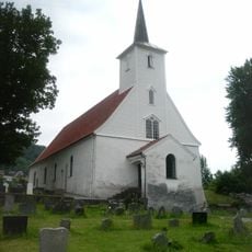
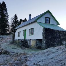
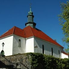
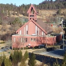
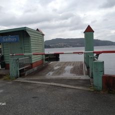
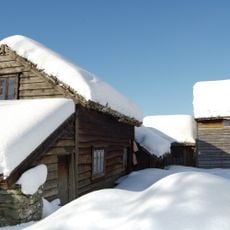
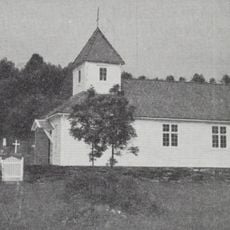
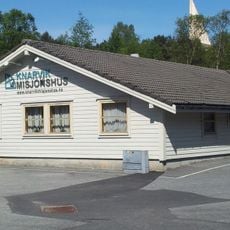
The villages scattered along its edges, including Knarvik and Hamre, rely on the water as their main connection and have shaped their daily rhythms around the fjord. Local people use boats naturally, moving between settlements and maintaining communities that have always looked to the water for survival.
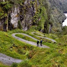
The fjord is accessible from various points along its edges, with roads leading to the surrounding villages and boats serving as the natural way to travel between settlements. Summer months offer the most pleasant conditions for exploring, when weather is more stable and daylight extends longer.
The fjord narrows and widens dramatically along its length, ranging from one kilometer across to three kilometers, creating distinct sections with different characters. These varying widths shape how boats navigate and how the landscape appears from different vantage points.
The community of curious travelers
AroundUs brings together thousands of curated places, local tips, and hidden gems, enriched daily by 60,000 contributors worldwide.