Karljohansvern, protected area in Norway (Naturbase code: VV00002455)
Location: Horten Municipality
Inception: June 30, 2006
GPS coordinates: 59.42100,10.49420
Latest update: November 17, 2025 23:26
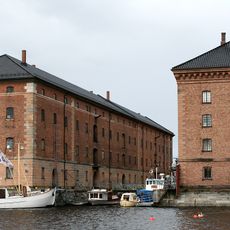
Karljohansvern
823 m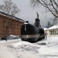
Royal Norwegian Navy Museum
647 m
Tordenskiold Oak
2.6 km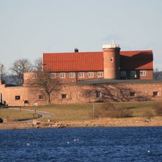
Norske Løve Fortress
2.5 km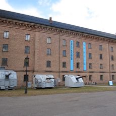
Preus Museum
663 m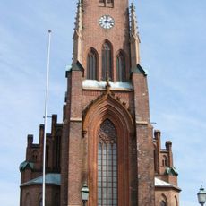
Horten Church
704 m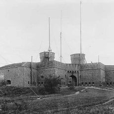
Citadellet
986 m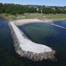
Rørestrand
2.8 km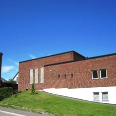
Sentrumskyrkja i Horten
1.4 km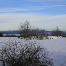
Bassengtaket
1.7 km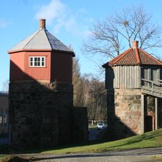
Kalkovnene på Karljohansvern
1.1 km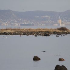
Vealøs
2.1 km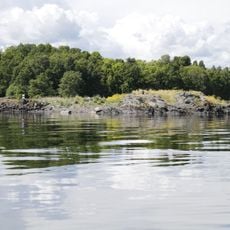
Bueskjær
2.5 km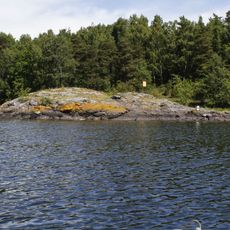
Østøyskjæret
2.3 km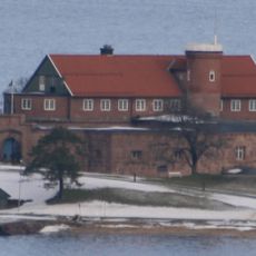
KARLJOHANSVERN ORLOGSSTASJON (område F4, Vealøs)
2.4 km
KARLJOHANSVERN ORLOGSSTASJON (område F8, Østøya)
2.7 km
KARLJOHANSVERN ORLOGSSTASJON (område B1, Stjertebukta)
933 m
KARLJOHANSVERN ORLOGSSTASJON (område F6, Mellomøya)
2.8 km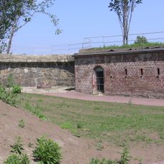
KARLJOHANSVERN ORLOGSSTASJON (område F3, Møringa)
1.4 km
KARLJOHANSVERN ORLOGSSTASJON (område F1)
707 m
Øvre vei 3, Karljohansvern
447 m
KNM Utstein
641 m
Vollane
615 m
Leif Welding
556 m
Brårudåsen batteri
1.7 km
Cannon
1.8 km
Cannon
1.8 km
Cannon
1.7 kmReviews
Visited this place? Tap the stars to rate it and share your experience / photos with the community! Try now! You can cancel it anytime.
Discover hidden gems everywhere you go!
From secret cafés to breathtaking viewpoints, skip the crowded tourist spots and find places that match your style. Our app makes it easy with voice search, smart filtering, route optimization, and insider tips from travelers worldwide. Download now for the complete mobile experience.

A unique approach to discovering new places❞
— Le Figaro
All the places worth exploring❞
— France Info
A tailor-made excursion in just a few clicks❞
— 20 Minutes