
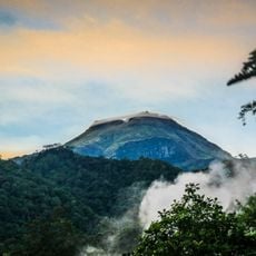
Mount Matutum Protected Landscape, nature reserve in Philippines
Location: Autonomous Region in Muslim Mindanao
Location: South Cotabato
Inception: March 20, 1995
GPS coordinates: 6.36667,125.08333
Latest update: April 15, 2025 06:58
Mount Apo
72.1 km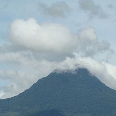
Mount Matutum
1.1 km
Fort Pikit
89.4 km
Isla Reta Beach Resort
94.7 km
Mount Apo Natural Park
72.7 km
D' Bone Collector Museum
96.9 km
Museo Dabawenyo
95.2 km
Pacman Beach Resort Complex
50.7 km
Coco Beach Resort
65.6 km
Fuerte de Reina Regente
96.4 km
Burial Site of the Seventeen Filipino Martyrs of Koronadal historical marker
30.5 km
Mount Parker
35.3 km
Davao City Hall historical marker
97 km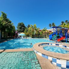
Princess del Leonor Hotel Resort and Convention Center
61 km
Gen. Paulino Santos historical marker
30 km
Andres Bonifacio historical marker
85.8 km
Pasol Mo
95.2 km
Ohta Kyozaburo historical marker
93.2 km
Museyo Kutawato
78.4 km
KCC Cinema
29.6 km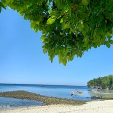
Crystal Island Beach Resort
64.6 km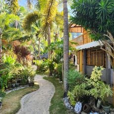
Brod Louie Beach Resort
64.2 km
Koronadal Cathedral
30.4 km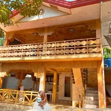
Kikay Beach Resort
56 km
Datu Paglas Municipal Hall
48.4 km
Butal Beach
56.5 km
Sea Front Beach Resort
58.3 km
Beach View
57.6 kmReviews
Visited this place? Tap the stars to rate it and share your experience / photos with the community! Try now! You can cancel it anytime.
Discover hidden gems everywhere you go!
From secret cafés to breathtaking viewpoints, skip the crowded tourist spots and find places that match your style. Our app makes it easy with voice search, smart filtering, route optimization, and insider tips from travelers worldwide. Download now for the complete mobile experience.

A unique approach to discovering new places❞
— Le Figaro
All the places worth exploring❞
— France Info
A tailor-made excursion in just a few clicks❞
— 20 Minutes