Geography of Portugal, Physical geography in continental southwestern Europe and Atlantic islands.
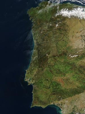
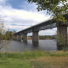
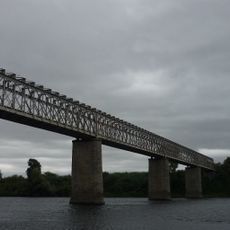
The geography of Portugal is a system of mountain ranges, coastal plains and Atlantic islands stretching from the north of the Iberian Peninsula to the southern Algarve. The relief alternates between the peaks of the Serra da Estrela, the wide river valleys of the Tagus and Douro, and long sandy beaches along the western coastline.
The territory took shape millions of years ago through tectonic shifts that separated the landmass from Gondwana and formed the Iberian Plate. Later, rivers and coastal processes shaped the present coastline, creating bays and estuaries.
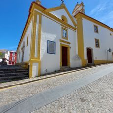
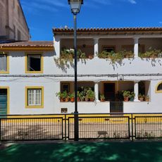
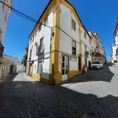
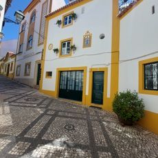
The physical diversity of Portugal shapes regional lifestyles, from mountain communities in the north to coastal settlements along the Atlantic.
The climate shifts from region to region, with northern mountains receiving more rain than the dry plains in the south. Hikers should prepare for changing weather conditions, especially at higher elevations and along the open coast.
The country's exclusive economic zone extends far into the Atlantic, mainly thanks to the Azores and Madeira. This water area is larger than many other European zones and influences fishing and maritime activities.
The community of curious travelers
AroundUs brings together thousands of curated places, local tips, and hidden gems, enriched daily by 60,000 contributors worldwide.