
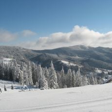
Mihăileni, village in Harghita County, Romania
Location: Mihăileni
Elevation above the sea: 738 m
GPS coordinates: 46.46667,25.81667
Latest update: March 6, 2025 00:06
Harghita Mădăraș
18.1 km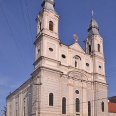
Roman Catholic Church in Șumuleu Ciuc
9.9 km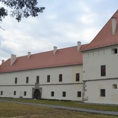
Mikó Castle
12.4 km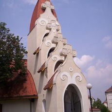
Miercurea Ciuc Roman Catholic Church
11.7 km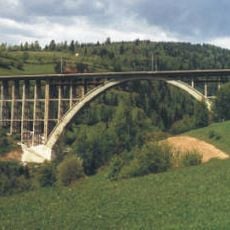
Caracău Viaduct
7.7 km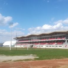
Stadionul Municipal
11.2 km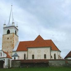
Nativity of Mary Roman Catholic church in Racu, Harghita
3.6 km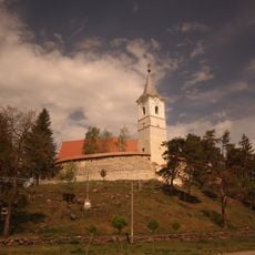
Roman Catholic church in Cârța, Harghita
8.9 km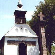
Salvator chapel in Șumuleu Ciuc
10 km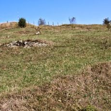
Dacian fortress of Jigodin
14.2 km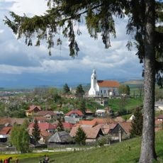
Saints Peter and Paul Parish Church (Cioboteni)
9.5 km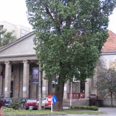
Csíki Játékszín
12 km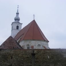
Ansamblul bisericii romano-catolice „Sf. Gheorghe”
20.6 km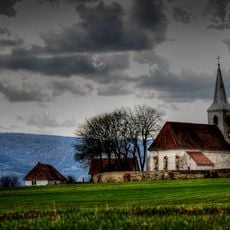
Saint John (Delnița)
6.4 km
Kájoni János Library
11.4 km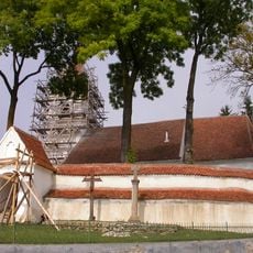
Nativity of Mary Roman Catholic church in Armășeni, Harghita
16.9 km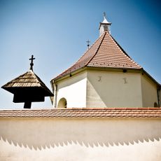
Csíkszentdomokosi római katolikus templom
12.9 km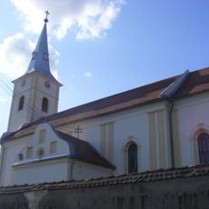
Ansamblul bisericii romano-catolice „Sf. Rege Emeric”
20.9 km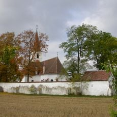
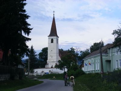
Fortified church in Mihăileni
1 km
Biserica romano-catolică din Misentea
16.6 km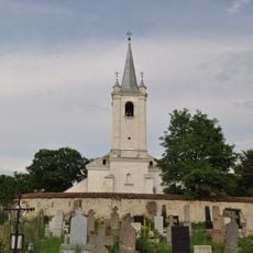
Saint Martin (Harghita)
24.4 km
Fortified church in Leliceni
13.5 km
Szent arkangyalok-fatemplom (Csíkszentdomokos)
13.1 km
Római katolikus templom
10.4 km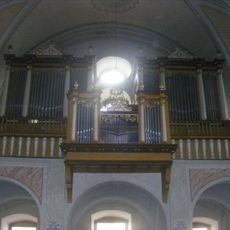
Pipe organ, Roman Catholic Church in Csíksomlyó
9.9 km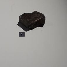
Mezö-Madaras meteorite
7.4 km
Lime in Leliceni
13.3 km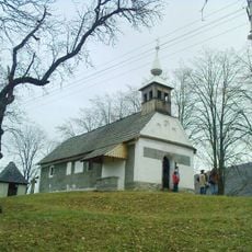
Capela romano-catolică „Salvator”
10 kmVisited this place? Tap the stars to rate it and share your experience / photos with the community! Try now! You can cancel it anytime.
Discover hidden gems everywhere you go!
From secret cafés to breathtaking viewpoints, skip the crowded tourist spots and find places that match your style. Our app makes it easy with voice search, smart filtering, route optimization, and insider tips from travelers worldwide. Download now for the complete mobile experience.

A unique approach to discovering new places❞
— Le Figaro
All the places worth exploring❞
— France Info
A tailor-made excursion in just a few clicks❞
— 20 Minutes