
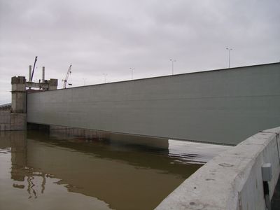
Saint Petersburg Dam, Flood control dam in Saint Petersburg, Russia.
The Saint Petersburg Dam extends 25 kilometers across the Gulf of Finland, connecting Lomonosov to Kotlin Island and continuing to Cape Lisiy Nos.
Construction of this massive flood prevention structure began in 1978 and underwent multiple phases before its final completion in 2011 under President Putin's administration.
The dam represents Russian engineering capabilities, incorporating water purification systems and navigation channels while protecting the former imperial capital from destructive floods.
The structure prevents storm surges up to 5 meters high from entering the Neva Bay and includes a six-lane highway connecting both sides of the Gulf.
During its first successful operation in November 2011, the dam prevented what would have been the city's 309th recorded flood, saving 1.3 billion roubles.
Location: Saint Petersburg
GPS coordinates: 60.00639,29.74833
Latest update: May 26, 2025 21:07
Category:Monument to City of Military Glory (Kronstadt)
824 m
Kronverksky Canal (Kronstadt)
940 m
1-я северная оборонительная казарма с сухопутным манежем (Кронштадт)
1.1 km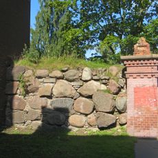
Эскарповая стена (Кронштадт)
1.1 km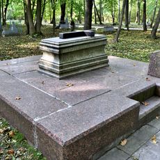
Bellingshausen Cenotaph in Kronstadt
467 m
Posadskaya Street, 5
1.1 km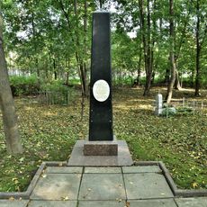
Кенотаф адмирала А.И. Круза (1727-1799) (Кронштадт)
465 m
Главный земляной вал (Кронштадт)
1.1 km
Дом именитого гражданина Пароского (Кронштадт)
1.2 km
Жилой дом купца Мурашова (Кронштадт)
1.2 km
Казарма (Кронштадт)
1.1 km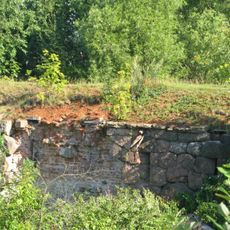
Северное батардо с капониром (Кронштадт)
899 m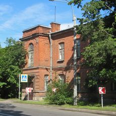
Здание штаба Кронштадтской крепости (Кронштадт)
982 m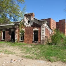
Barracks of Kronstadt Fortress Miners
1.1 km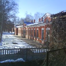
Здание пассажирской станции «Город» (Кронштадт)
1.2 km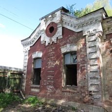
Офицерское собрание и канцелярия (Кронштадт)
1 km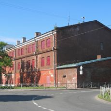
2-я западная оборонительная казарма (Кронштадтская) с полубашней (Кронштадт)
997 m
Парк (Кронштадт)
1 km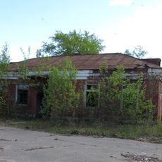
Ледник (Кронштадт)
1 km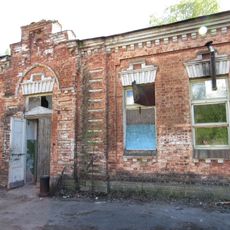
Казарма для офицеров (Кронштадт)
1.2 km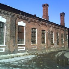
Казарма (Кронштадт)
1.1 km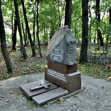
Кенотаф адмирала Р.Н. Вирена (1857-1917) (Кронштадт)
474 m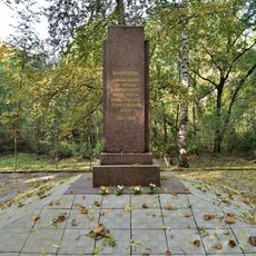
Братская могила мирных жителей г. Кронштадта, погибших в Великую Отечественную войну (Кронштадт)
439 m
Hospital No36, Kronstadt
1.1 km
Казарма (Кронштадт)
911 m
Казарма (Кронштадт)
870 m
Posadskaya Street, 8
1.2 km
Казарма (Кронштадт)
1.2 kmReviews
Visited this place? Tap the stars to rate it and share your experience / photos with the community! Try now! You can cancel it anytime.
Discover hidden gems everywhere you go!
From secret cafés to breathtaking viewpoints, skip the crowded tourist spots and find places that match your style. Our app makes it easy with voice search, smart filtering, route optimization, and insider tips from travelers worldwide. Download now for the complete mobile experience.

A unique approach to discovering new places❞
— Le Figaro
All the places worth exploring❞
— France Info
A tailor-made excursion in just a few clicks❞
— 20 Minutes