
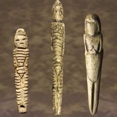
Venus figurines of Mal'ta
71.1 km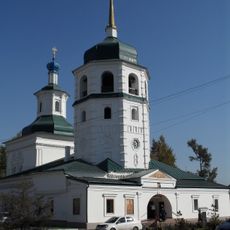
Monastery of the Theotokos of the Sign
145.2 km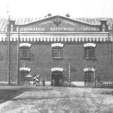
Alexandrovsky Central
81.6 km
Statue of Admiral Kolchak
145.3 km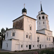
Christ the Redeemer Church
145.7 km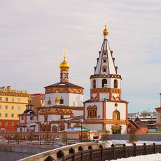
Church of the Epiphany
145.6 km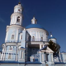
Church of the Theotokos of Kazan
90.5 km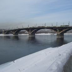
Glazkovsky Bridge, Irkutsk
145.6 km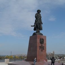
Monument to the Founder of Irkutsk
145.6 km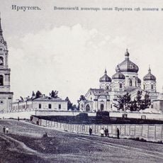
Ascension monastery (Irkutsk)
141.7 km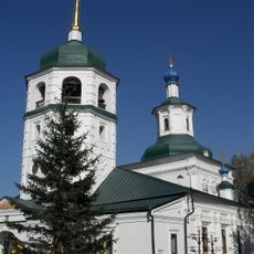
Знаменская церковь (Иркутск)
145.2 km
Jermak
112.2 km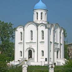
Church of the Nativity of Christ
137.7 km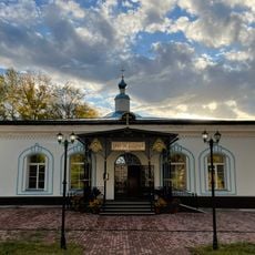
Успенская церковь
141.7 km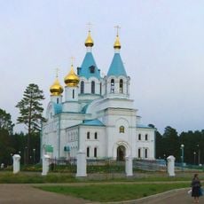
Holy Trinity church in Angarsk
110.4 km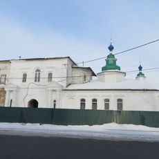
Покровская церковь
144.7 km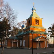
Михаило-Архангельская церковь
139.7 km
Бурински Дача
102.3 km
Якимовка
119 km
Большелихачевски
89.3 km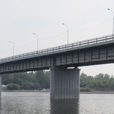
Irkutny Bridge (Bypass of Irkutsk)
143.6 km
Большерастягаевски
83.4 km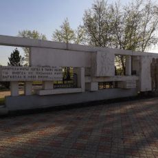
Памятник политкаторжанам в Ангарске
109.9 km
Верхнеокинский
131.6 km
Борови
133.6 km
Бахвалово
134.9 km
Вантеевская
62.2 km
Участок Благодатний
88.9 kmReviews
Visited this place? Tap the stars to rate it and share your experience / photos with the community! Try now! You can cancel it anytime.
Discover hidden gems everywhere you go!
From secret cafés to breathtaking viewpoints, skip the crowded tourist spots and find places that match your style. Our app makes it easy with voice search, smart filtering, route optimization, and insider tips from travelers worldwide. Download now for the complete mobile experience.

A unique approach to discovering new places❞
— Le Figaro
All the places worth exploring❞
— France Info
A tailor-made excursion in just a few clicks❞
— 20 Minutes