
Bonderup socken, pitäjä Tornan kihlakunnassa Ruotsissa (–1862)
Location: Lund Municipality
Location: Torna hundred
Elevation above the sea: 60 m
Part of: Scania
GPS coordinates: 55.64000,13.35556
Latest update: March 5, 2025 08:42
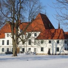
Björnstorp Castle
3.5 km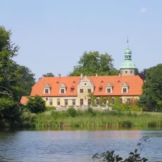
Toppeladugård Castle
4.9 km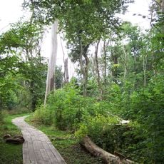
Dalby Söderskog National Park
4.2 km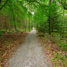
Skrylle
5.3 km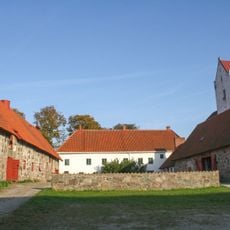
Dalby kungsgård
2.9 km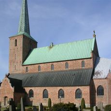
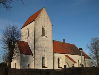
Genarp Church
4.8 km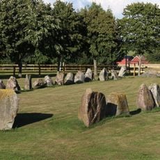
Schiffssetzung bei Ugglarp
3.7 km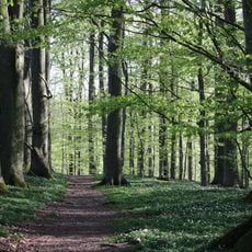
Dalby Norreskog
4.7 km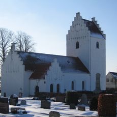
Gödelöv Church
4.2 km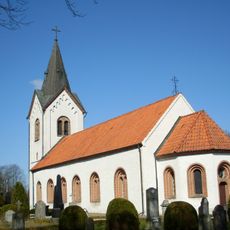
Kyrkheddinge Church
5.4 km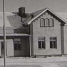
Genarp municipality
5.3 km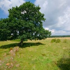
Knivsås-Borelund
4.2 km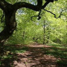
Gryteskog
5.7 km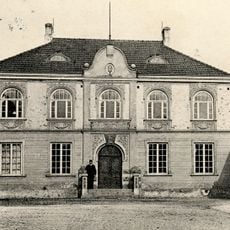
Torna och Bara domsagas tingslag
2.7 km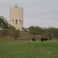
Rökepipan
3.5 km
Vallby mosse
4.5 km
Högebjär
2.9 km
Kaninlandet
5.3 km
Dalby Västermark
5 km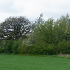
Ek
4.7 km
Hällestadsåsen-Prästamöllan
5 km
Hällestadsåsen-Borelund
5 km
Dalby fälad no 5
4.3 km
Lyngby 1:1
3.8 km
Mångelsten
5.8 km
Skolmuseum
3.3 km
Teodor Jönssonmuseet
3.3 km
Esarpshögen
3.8 kmReviews
Visited this place? Tap the stars to rate it and share your experience / photos with the community! Try now! You can cancel it anytime.
Discover hidden gems everywhere you go!
From secret cafés to breathtaking viewpoints, skip the crowded tourist spots and find places that match your style. Our app makes it easy with voice search, smart filtering, route optimization, and insider tips from travelers worldwide. Download now for the complete mobile experience.

A unique approach to discovering new places❞
— Le Figaro
All the places worth exploring❞
— France Info
A tailor-made excursion in just a few clicks❞
— 20 Minutes