
Območje cerkve sv. Florijana
Location: Municipality of Loški Potok
GPS coordinates: 45.71403,14.57162
Latest update: April 7, 2025 09:24
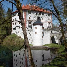
Snežnik Castle
8.7 km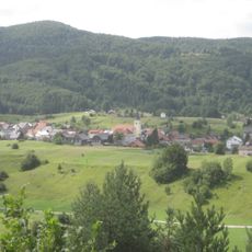
Prezid
8.4 km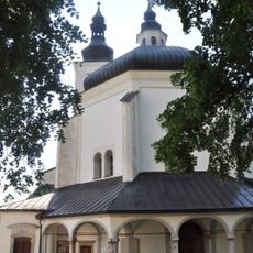
Assumption of Mary Church
8 km
Ribnica Castle
12.3 km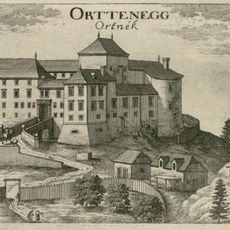
Ortnek Castle
10.8 km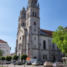
St. Stephen's Parish Church
12.4 km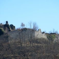
Lož Castle
7.8 km
Šteberk Castle
10.5 km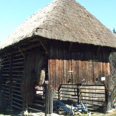
Ilija Hayrack
13.9 km
Veliki Snežnik
17 km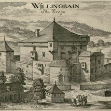
Pungart Castle
11.9 km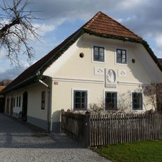
Škrabec homestead
13.1 km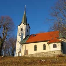
St. Anne's Church
14.8 km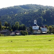
St. Michael's Church
7.7 km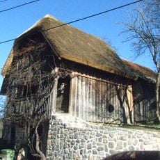
Stritar Granary
13 km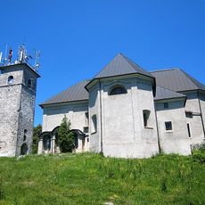
Holy Cross Church
9.5 km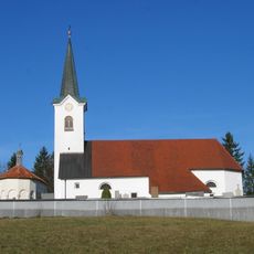
Cerkev Povišanja sv. Križa, Jurjevica
10.4 km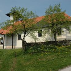
St. Gertrude Church
8.2 km
Golobina
10.4 km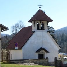
St. Vincent Church
9.4 km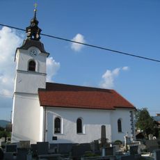
Sts. Peter and Paul Church
13.7 km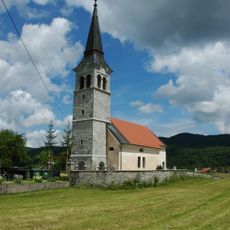
St. Nicholas's Parish Church
7.1 km
Annunciation Church
12.1 km
St. Nicholas's Church
16.2 km
St. Paul's Church
12.2 km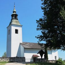
Sts. Primus and Felician Church
13.1 km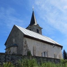
St. Leonard Church
17.1 km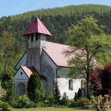
St. Cantianus's Church
12.6 kmReviews
Visited this place? Tap the stars to rate it and share your experience / photos with the community! Try now! You can cancel it anytime.
Discover hidden gems everywhere you go!
From secret cafés to breathtaking viewpoints, skip the crowded tourist spots and find places that match your style. Our app makes it easy with voice search, smart filtering, route optimization, and insider tips from travelers worldwide. Download now for the complete mobile experience.

A unique approach to discovering new places❞
— Le Figaro
All the places worth exploring❞
— France Info
A tailor-made excursion in just a few clicks❞
— 20 Minutes