
Zemplínska Nová Ves, municipality of Slovakia
Location: Trebišov District
Inception: 1263
Elevation above the sea: 122 m
Website: http://www.zemplinskanovaves.ocu.sk/
Website: http://zemplinskanovaves.ocu.sk
GPS coordinates: 48.57940,21.66780
Latest update: October 3, 2025 23:36
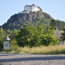
Castle of Füzér
15.9 km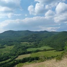
Nagy-Milic
15.4 km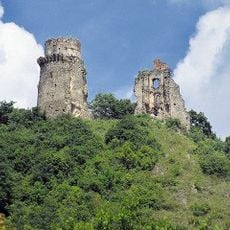
Slanec Castle
15.9 km
Museum of the Hungarian Language
16.3 km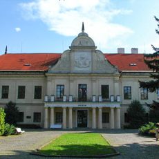
Trebišov Manor house
6 km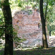
Trebišov Castle
6.4 km
Gardens of the Károlyi Mansion, Füzérradvány
14.6 km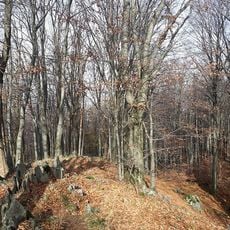
Miličská skala
15.4 km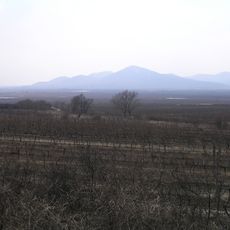
Rozhľadňa
11.8 km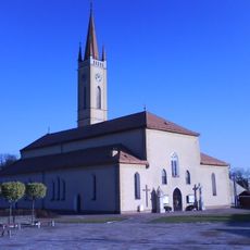
Roman Catholic church of Assumption in Sečovce
13.8 km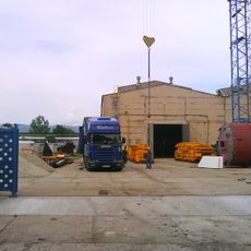
Silometal
14.3 km
Albinovská hora
15.5 km
Velky Milic
14.5 km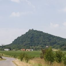
Slansky hradny vrch
15.8 km
Trebišovská tabule
5.1 km
Weissov kanál
14.1 km
Kostol sv. Márie Magdalény, kostol
12 km
Kostol sv. Štefana
13.3 km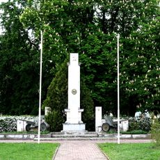
Pomník sov. armády
13.8 km
Minorite monastery, Brehov
15 km
Stall building, Trebišov
5.9 km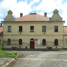
Servants building, Trebišov
5.9 km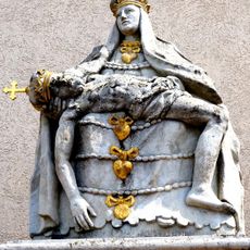
Pieta
13.8 km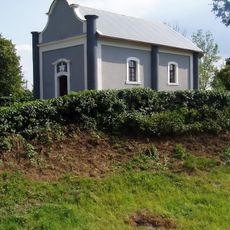
Kaplnka sv. Kríža
13.3 km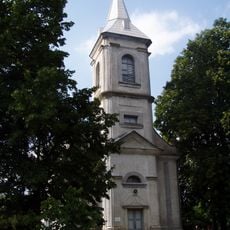
Kalvínsky kostol
13.2 km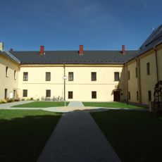
Kláštor paulínov
6.2 km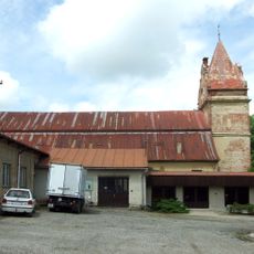
Riding hall, Trebišov
6 km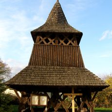
Wooden bell tower, Malé Ozorovce
12 kmReviews
Visited this place? Tap the stars to rate it and share your experience / photos with the community! Try now! You can cancel it anytime.
Discover hidden gems everywhere you go!
From secret cafés to breathtaking viewpoints, skip the crowded tourist spots and find places that match your style. Our app makes it easy with voice search, smart filtering, route optimization, and insider tips from travelers worldwide. Download now for the complete mobile experience.

A unique approach to discovering new places❞
— Le Figaro
All the places worth exploring❞
— France Info
A tailor-made excursion in just a few clicks❞
— 20 Minutes