Nagy-Milic, Volcanic mountain summit at Košice-okolie District, Hungary and Slovakia
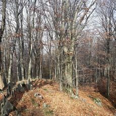
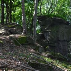
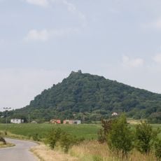
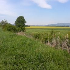
Nagy-Milic is a volcanic mountain summit in the Zemplén Mountains straddling the Hungary-Slovakia border. The peak rises to 894 meters and dominates the landscape of this border region with its rocky slopes.
The name Nagy-Milic comes from a Slavic personal name derived from milъ (dear), recorded as Mylychkw in 1270. The summit is the eroded remnant of a ruined volcano, part of the Milic group. In 2006 a daytime border crossing point was designated at the peak for hikers, and after Hungary and Slovakia joined the Schengen Area the border became freely crossable.
The name Nagy-Milic comes from a Slavic personal name built on milъ, "dear", recorded as Mylychkw in 1270. The summit marks the meeting point of the Hungarian and Slovak language areas, and in 1979 Rockenbauer Pál's television crew set out from here to walk the National Blue Trail for the series Másfélmillió lépés Magyarországon.
The best time for climbing is late summer and autumn when conditions are stable and visibility across the mountains remains clear. Several well-marked trails lead to the summit from the town of Gönc, with different routes available depending on fitness level and preferences.
Nagy-Milic is a ruined volcano: a large eruption chamber that collapsed and eroded away, leaving the Milic group as its remnant. The summit sits on the watershed where Hungarian- and Slovak-speaking areas meet, and in clear weather the ridges of Ukraine and Romania's Gutin Mountains are visible.
The community of curious travelers
AroundUs brings together thousands of curated places, local tips, and hidden gems, enriched daily by 94,369 contributors worldwide.