
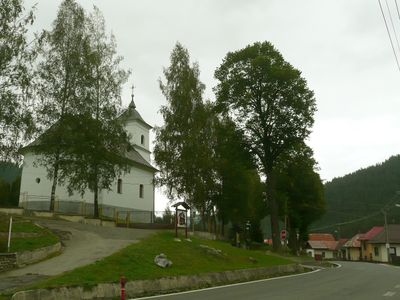
Vernár, municipality of Slovakia
Location: District of Poprad
Website: https://vernar.sk
GPS coordinates: 48.91787,20.27037
Latest update: April 24, 2025 05:16
Königsberg
10.4 km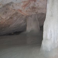
Dobšinská Ice Cave
6.1 km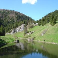
Slovak Paradise National Park
9.5 km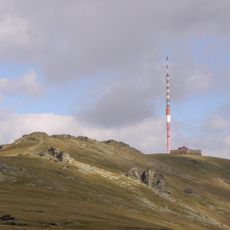
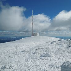
Vysílač Kráľova hoľa
10.3 km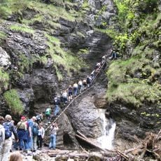
Suchá Belá
9.1 km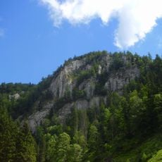
Havrania Skala
6.3 km
Klauzy
10.9 km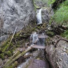
Zejmarská roklina
10.5 km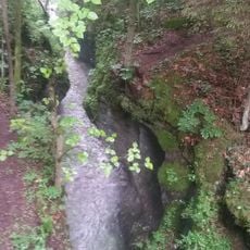
Gorges de la Kysel
10.4 km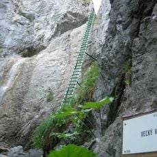
Piecky
7.1 km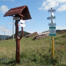
Besník
6.9 km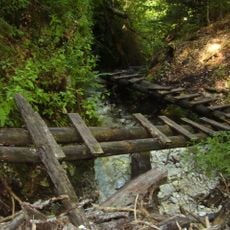
Veľký Kyseľ
9.5 km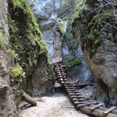
Malý Kyseľ
9.3 km
Kráľova skala
9.7 km
Stratená
8 km
Kráľova hoľa
11.1 km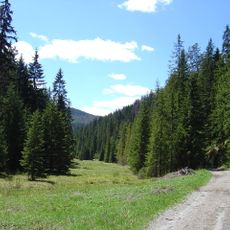
Malé Zajfy
7.9 km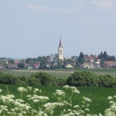
Vikartovská priekopa
8.5 km
Martalúzka
8.5 km
Meandre Hrona
11.9 km
Barbolica
1.2 km
Stredná hoľa
12.4 km
Veľká Biela voda
6 km
Predná hoľa (geomorfologická část)
6.7 km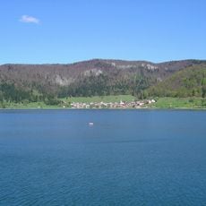
Palcmanská Maša (Mlynky)
11.2 km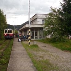
Dedinky railway station
10.7 km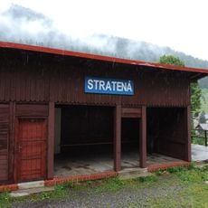
Stratená railway station
7.5 km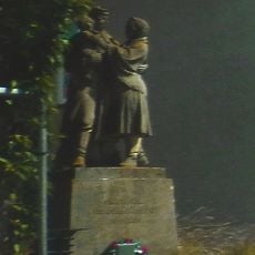
Pomník padlým v SNP
9.5 kmReviews
Visited this place? Tap the stars to rate it and share your experience / photos with the community! Try now! You can cancel it anytime.
Discover hidden gems everywhere you go!
From secret cafés to breathtaking viewpoints, skip the crowded tourist spots and find places that match your style. Our app makes it easy with voice search, smart filtering, route optimization, and insider tips from travelers worldwide. Download now for the complete mobile experience.

A unique approach to discovering new places❞
— Le Figaro
All the places worth exploring❞
— France Info
A tailor-made excursion in just a few clicks❞
— 20 Minutes