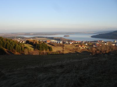
Oravská kotlina, Geomorphological basin in northern Slovakia.
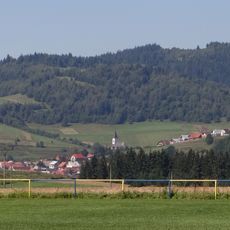
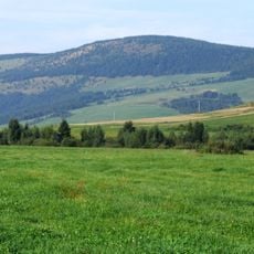
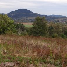
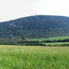
This expansive lowland region covers 228 square kilometers and features diverse agricultural landscapes, meadows, and pastures traversed by the Orava River and its tributaries including Jelešňa and Oravica streams.
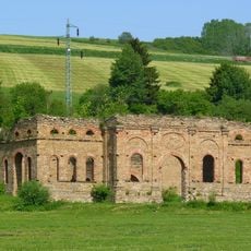
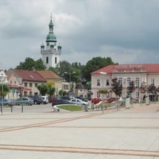
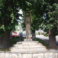
The basin served as an important strategic location along medieval trade routes connecting central European regions, with its territory historically settled by various Slavic tribes during the early medieval period.
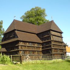
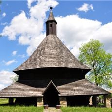
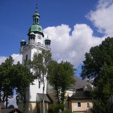
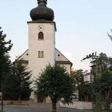
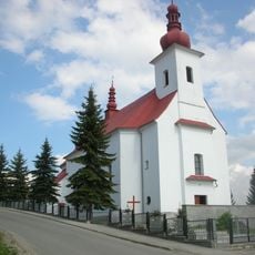
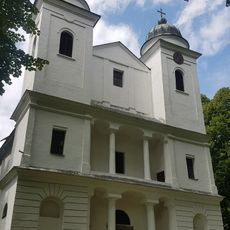
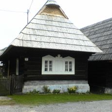
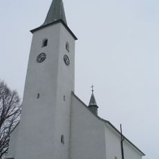
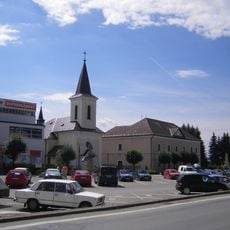
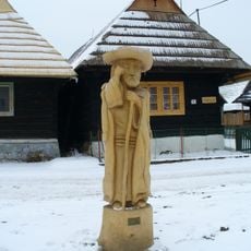
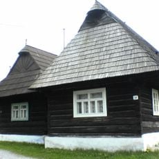
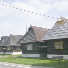
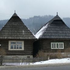
Local communities preserve traditional Slovak folk customs through festivals, handicrafts, and wooden churches, while maintaining authentic regional clothing and artisanal techniques passed down through generations.
Visitors can access the region via the E77 highway connecting Budapest and Krakow, with over 100 kilometers of hiking trails and 150 kilometers of cycling routes available for outdoor recreation.
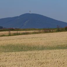
The basin contains the highest point called Výr at 837 meters elevation and extends across the Polish border where it continues as the Orawsko-Nowotarska basin.
The community of curious travelers
AroundUs brings together thousands of curated places, local tips, and hidden gems, enriched daily by 60,000 contributors worldwide.