
Chiang Saen, Administrative district in Chiang Rai, Thailand.
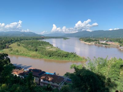
Chiang Saen is an administrative district in northern Thailand comprising six sub-districts spread across valleys and hills. The terrain sits at about 363 meters (1,190 ft) elevation and borders the Mekong River, which forms the northern boundary.
The area was once a major power in the Lanna Kingdom during the 13th century, controlling important trade routes along the Mekong. This influence made the region a significant center in Southeast Asia at that time.
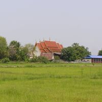
The villages here preserve traditional ways of living, with local markets where residents shop and gather daily. Temples dot the landscape throughout the district and form the center of community life.
You can reach the district via Highway 1016 from Mae Chan or Highway 110 from Chiang Rai, with regular buses connecting the main towns. The best time to visit is November through February when the weather is drier and migratory birds arrive in the area.
A natural lake within the district attracts large flocks of migratory birds from November through February, providing them shelter for a time. Bird watchers and nature lovers can observe remarkable species diversity during these months.
Location: Chiang Rai
Elevation above the sea: 363 m
Shares border with: Mae Sai
GPS coordinates: 20.27500,100.08833
Latest update: December 7, 2025 19:22
Tham Luang
25.9 km
Golden Triangle Special Economic Zone
7.5 km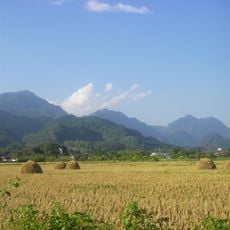
Doi Nang Non
26.2 km
Doi Tung Royal Villa
29.1 km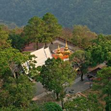
Doi Tung
27.2 km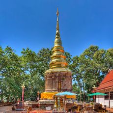
Wat Phra That Chom Kitti
1.9 km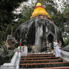
Wat Phra That Pha Ngao
4.1 km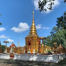
Wat Phra That Doi Wao
28.8 km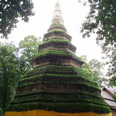
Wat Phra That Chedi Luang
862 m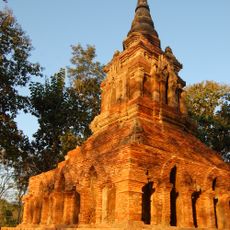
Wat Pa Sak
1.1 km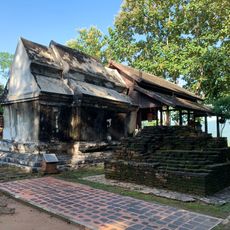
Wat Phra That Doi Pu Khao
8.7 km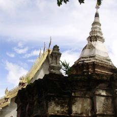
Wat Phrachao Lan Thong
449 m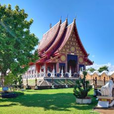
Wat Hiranyawat
22.8 km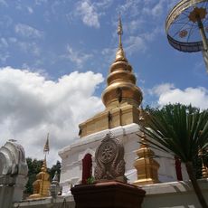
Wat Phra That Doi Ku Kaeo
14.7 km
Mae Fah Luang University Stadium
31.4 km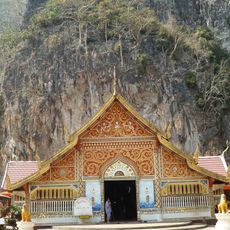
Wat Tham Pla
24.2 km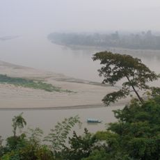
Laos–Myanmar–Thailand tripoint
8.8 km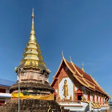
Wat Pha Khaopan
299 m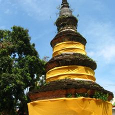
Wat Pong Sanuk
409 m
Wat Pong Khong
13.3 km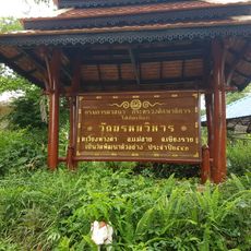
Wat Phrom Wihan
27.5 km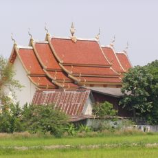
Wat Si Bun Yuen
12.5 km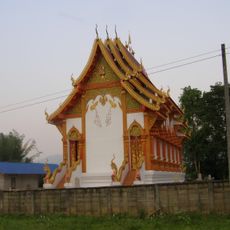
Wat Ban Thung
14.3 km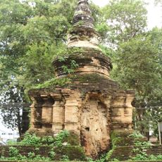
Wat Phra Buat
662 m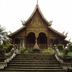
Wat Chedi Chet Yot
3.9 km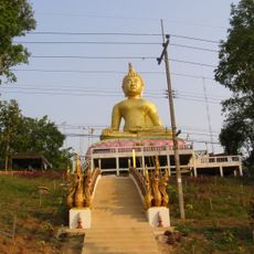
Wat Ko Pha Dam
9 km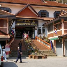
House of Opium
8.5 km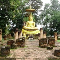
Wat Phra That Song Phi Nong
4.5 kmVisited this place? Tap the stars to rate it and share your experience / photos with the community! Try now! You can cancel it anytime.
Discover hidden gems everywhere you go!
From secret cafés to breathtaking viewpoints, skip the crowded tourist spots and find places that match your style. Our app makes it easy with voice search, smart filtering, route optimization, and insider tips from travelers worldwide. Download now for the complete mobile experience.

A unique approach to discovering new places❞
— Le Figaro
All the places worth exploring❞
— France Info
A tailor-made excursion in just a few clicks❞
— 20 Minutes