·

Enable Location

We need your location to show you interesting places around you

Discover nearby places

Find interesting locations and hidden gems around you

Precise directions

Get accurate directions and distances to places

Your location is never shared with other users. It's only used when you tap the location button.

Chiang Saen

Log in to your account

Start exploring — it's free

Trusted by 62,656 travelers worldwide

Continue with Google
Continue with Apple
or

We will send you a code to connect

By continuing, you accept our Terms and Conditions and our Privacy Policy

Check your inbox

We've sent a pincode in your inbox. Please enter the code below.

Chiang Saen

Chiang Saen, Administrative district in Chiang Rai, Thailand.

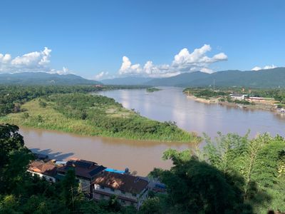
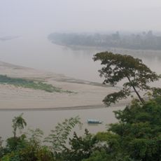
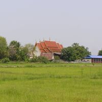
Chiang Saen is an administrative district in northern Thailand comprising six sub-districts spread across valleys and hills. The terrain sits at about 363 meters (1,190 ft) elevation and borders the Mekong River, which forms the northern boundary.

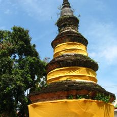
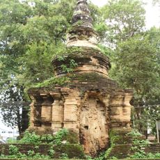
The area was once a major power in the Lanna Kingdom during the 13th century, controlling important trade routes along the Mekong. This influence made the region a significant center in Southeast Asia at that time.

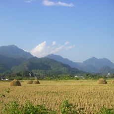
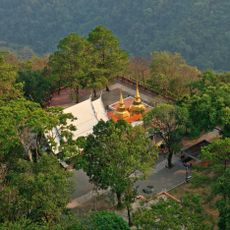
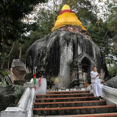
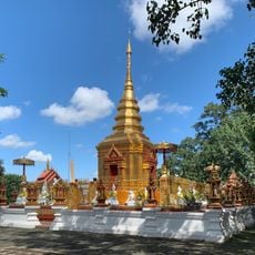
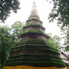
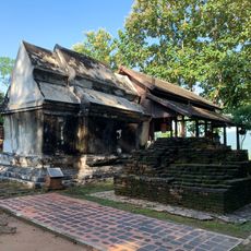
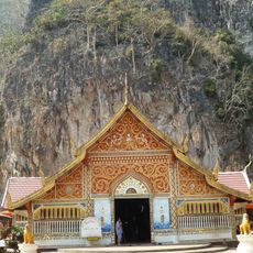
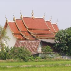
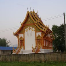
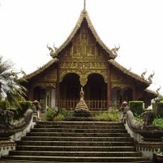
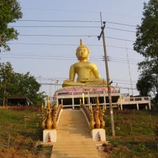
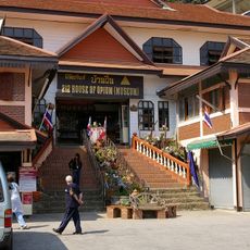
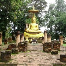
The villages here preserve traditional ways of living, with local markets where residents shop and gather daily. Temples dot the landscape throughout the district and form the center of community life.

You can reach the district via Highway 1016 from Mae Chan or Highway 110 from Chiang Rai, with regular buses connecting the main towns. The best time to visit is November through February when the weather is drier and migratory birds arrive in the area.

A natural lake within the district attracts large flocks of migratory birds from November through February, providing them shelter for a time. Bird watchers and nature lovers can observe remarkable species diversity during these months.

The community of curious travelers

AroundUs brings together thousands of curated places, local tips, and hidden gems, enriched daily by 60,000 contributors worldwide.

Start exploring
Location
Elevation above the sea
363 m
Shares border with
Mae Sai
GPS coordinates
20.27500,100.08833
Latest update
December 7, 2025 19:22
« Chiang Saen - Administrative district in Chiang Rai, Thailand » is provided by Around Us (aroundus.com). Images and texts are derived from Wikimedia project under a Creative Commons license. You are allowed to copy, distribute, and modify copies of this page, under the conditions set by the license, as long as this note is clearly visible.

Discover hidden gems everywhere you go!

From secret cafés to breathtaking viewpoints, skip the crowded tourist spots and find places that match your style. Our app makes it easy with voice search, smart filtering, route optimization, and insider tips from travelers worldwide. Download now for the complete mobile experience.

Around Us App Screenshot

A unique approach to discovering new places

Le Figaro

All the places worth exploring

France Info

A tailor-made excursion in just a few clicks

20 Minutes

Around Us
Travel Guide & Maps
Download

Send to your phone

QR Code
1

Open the camera app on your mobile.

2

Point at the QR code with your camera. A notification will appear.

3

Tap the notification to open the link.