
Don Tum, district in Nakhon Pathom province, Thailand
Location: Nakhon Pathom
Elevation above the sea: 6 m
GPS coordinates: 13.96056,100.08139
Latest update: March 5, 2025 23:41

Phra Pathommachedi
15.8 km
Wat Rai Khing
30.9 km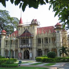
Sanam Chandra Palace
16.2 km
Phutthamonthon
33 km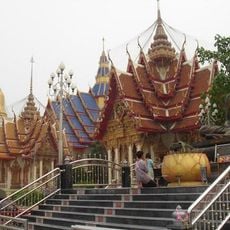
Wat Bang Phra
15.8 km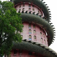
Wat Sam Phran
29 km
Wat Klang Bang Kaeo
22.1 km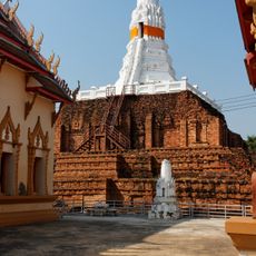
Wat Phra Pathonnachedi Wora Viharn
16.3 km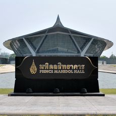
Prince Mahidol Hall
32.1 km
Wat Phra Thaen Dong Rang
32.8 km
Wat Phra Meru
16.7 km
Wat Lat Bua Khao
29 km
Wat Don Wai
30.4 km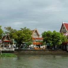
Wat Tha Phut
31.7 km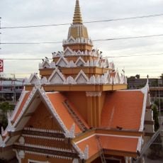
Songdhammakalyani Monastery
16.3 km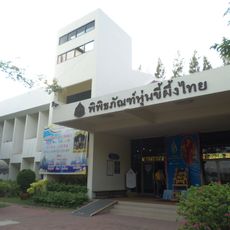
Thai Human Imagery Museum
25 km
Khlong Phraya Banlue
22.7 km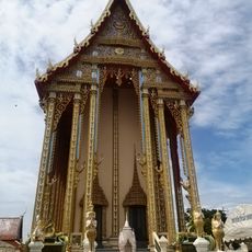
Wat Sai Yai
24.8 km
Wat Ko Wang Sai
18 km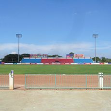
Nakhon Pathom Municipality Sport School Stadium
18.2 km
Wat Anek Dittharam
34.9 km
Wat Sai
21.4 km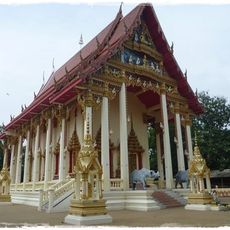
Wat Plak Raet
28.4 km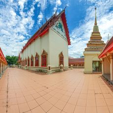
Wat Tukkata
22.1 km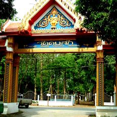
Wat Dong Sak
32.7 km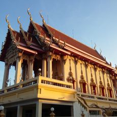
Wat Khlong Tan Rat Bamrung
34.6 km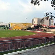
Rajamangala University of Technology Rattanakosin Salaya Campus Stadium
29.7 km
Wat Rang Wan
30.6 kmReviews
Visited this place? Tap the stars to rate it and share your experience / photos with the community! Try now! You can cancel it anytime.
Discover hidden gems everywhere you go!
From secret cafés to breathtaking viewpoints, skip the crowded tourist spots and find places that match your style. Our app makes it easy with voice search, smart filtering, route optimization, and insider tips from travelers worldwide. Download now for the complete mobile experience.

A unique approach to discovering new places❞
— Le Figaro
All the places worth exploring❞
— France Info
A tailor-made excursion in just a few clicks❞
— 20 Minutes