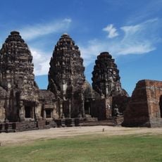
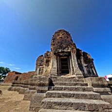
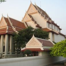
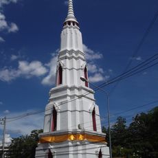
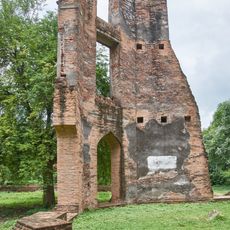
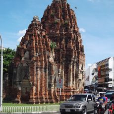
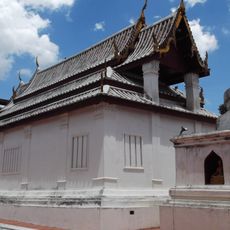
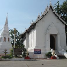
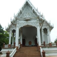
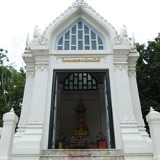
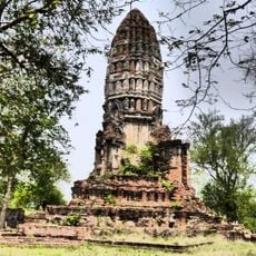
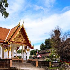
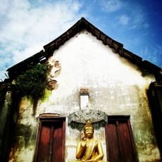
Ban Mi, Administrative district in Lopburi, Thailand
Ban Mi is an administrative district in Lopburi comprising 22 sub-districts and 157 administrative villages spread across a large rural area. The landscape is predominantly flat and defined by farmland, irrigation systems, and scattered communities.
The area went through multiple name changes starting in 1883, first known as Sanam Chaeng, then Huai Kaeo, before becoming Ban Mi in 1939. These shifts reflect the administrative reorganizations that shaped Thailand's administrative system over that period.
The villages here are shaped by rice farming, and you see small fields and irrigation channels throughout the landscape. People sell their harvest at local markets that happen regularly and form the heart of community life.
The area is well connected by transportation networks linking Lopburi to neighboring regions, making travel between communities straightforward. The flat terrain throughout the district helps with easy movement in all directions.
The name Ban Mi comes from a traditional hand weaving technique called Mat Mi, which Phuan people brought when they migrated from Laos. This weaving practice once shaped much of the local economy in the area.
The community of curious travelers
AroundUs brings together thousands of curated places, local tips, and hidden gems, enriched daily by 60,000 contributors worldwide.