Enable Location

We need your location to show you interesting places around you

Discover nearby places

Find interesting locations and hidden gems around you

Precise directions

Get accurate directions and distances to places

Your location is never shared with other users. It's only used when you tap the location button.

Log in to your account

Start exploring — it's free

Trusted by 62,625 travelers worldwide

Continue with Google
Continue with Apple
or

We will send you a code to connect

By continuing, you accept our Terms and Conditions and our Privacy Policy

Check your inbox

We've sent a pincode in your inbox. Please enter the code below.

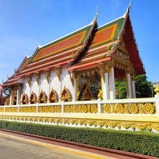
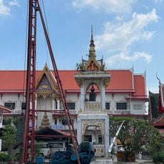
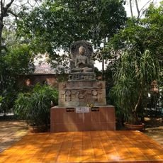
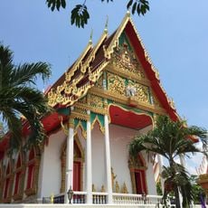
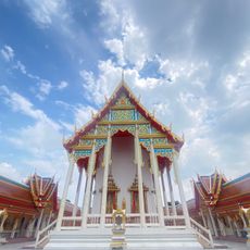
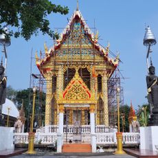
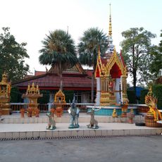
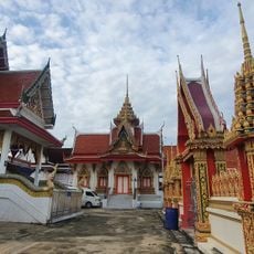
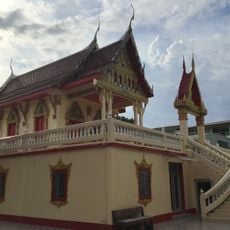
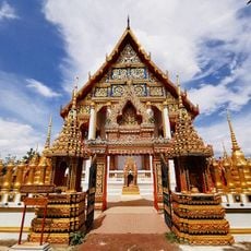
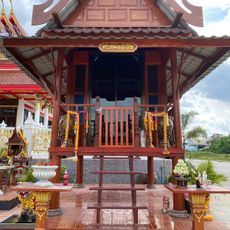
Lam Luk Ka, Administrative district in Pathum Thani, Thailand.

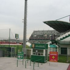
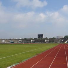
Lam Luk Ka is an administrative district in Pathum Thani with eight subdistricts, where residential neighborhoods, local markets, and waterways connect different parts of the region. The district spreads across flat terrain with a mix of built-up areas and agricultural land.

The construction of Khlong Rangsit canal during King Chulalongkorn's reign transformed this grassland into a settled region with agricultural development. This waterway enabled better connection to surrounding areas and promoted settlement.

Local markets display traditional Thai food preparation methods, with vendors offering regional specialties and fresh produce daily. These trading places are where the community gathers and local food culture remains alive.

The district has direct transportation links to Bangkok via public buses and private vehicles. Visitors can also explore local roads to reach individual subdistricts and move around the area.

The name comes from 'Bueng Lam Luk Ka', referring to a pond where baby crows gathered. This origin reflects the natural history of the area before its modern development.

The community of curious travelers

AroundUs brings together thousands of curated places, local tips, and hidden gems, enriched daily by 60,000 contributors worldwide.

Start exploring
Location
Elevation above the sea
5 m
GPS coordinates
13.93250,100.74944
Latest update
December 20, 2025 14:04
« Lam Luk Ka - Administrative district in Pathum Thani, Thailand » is provided by Around Us (aroundus.com). Images and texts are derived from Wikimedia project under a Creative Commons license. You are allowed to copy, distribute, and modify copies of this page, under the conditions set by the license, as long as this note is clearly visible.

Discover hidden gems everywhere you go!

From secret cafés to breathtaking viewpoints, skip the crowded tourist spots and find places that match your style. Our app makes it easy with voice search, smart filtering, route optimization, and insider tips from travelers worldwide. Download now for the complete mobile experience.

Around Us App Screenshot

A unique approach to discovering new places

Le Figaro

All the places worth exploring

France Info

A tailor-made excursion in just a few clicks

20 Minutes

Around Us
Travel Guide & Maps
Download

Send to your phone

QR Code
1

Open the camera app on your mobile.

2

Point at the QR code with your camera. A notification will appear.

3

Tap the notification to open the link.