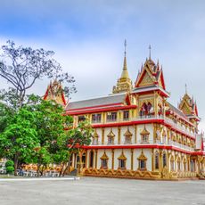
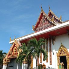
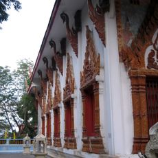
Eastern Thailand, Coastal region in Thailand
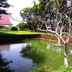
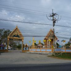
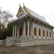
Eastern Thailand is a coastal region stretching along the Gulf of Thailand that includes seven provinces with numerous islands and sandy beaches. The landscape shifts between the Sankamphaeng Range in the west and flat coastal strips in the east, where coconut plantations and fruit orchards shape the view.
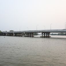
The transformation began during the Vietnam War when American soldiers used the area as a rest zone and Pattaya evolved from a fishing village into a tourism center. Industrialization followed from the 1980s and turned large parts of the eastern coast into an economic zone with factories and ports.
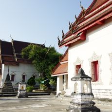
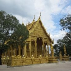
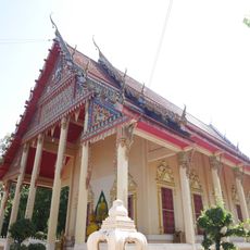
Coastal communities maintain their own dialects that differ from central Thai and carry Chinese influences in some neighborhoods. In markets and fishing villages, you hear these variations today when vendors offer their goods or fishermen prepare their nets.
The three national parks Pang Sida, Mu Ko Chang, and Mu Ko Samet offer different landscapes to explore, from mountains to islands. Access to the parks is possible throughout the year, though the dry season between November and April offers the best conditions for hiking and boat trips.
The eastern coastline hosts some of the oldest mangrove forests in Thailand, where rare bird species nest and crabs live among the roots. These forests also serve as natural protection against erosion and storm surges that can occur during monsoon season.
The community of curious travelers
AroundUs brings together thousands of curated places, local tips, and hidden gems, enriched daily by 60,000 contributors worldwide.