
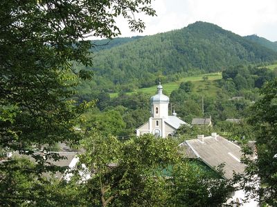
Kostryna, village in Velykyi Bereznyi Raion, Zakarpattia Oblast, Ukraine
Location: Костринська сільська рада
Location: Uzhhorod Raion
Location: Csontos község
Inception: 1549
Elevation above the sea: 289 m
GPS coordinates: 48.94306,22.59000
Latest update: March 3, 2025 04:34
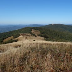
Poloniny National Park
14.9 km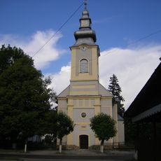
Velykyi Bereznyi
11.2 km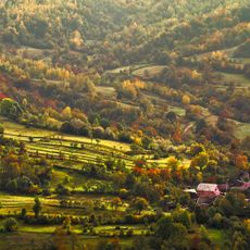
Uzh National Nature Park
9 km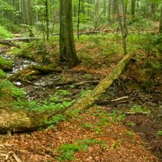
Stužica
16.2 km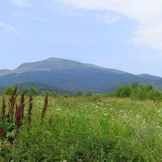
East Carpathian Transboundary Biosphere Reserve
9.1 km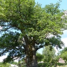
Dub zvychainyi
9.6 km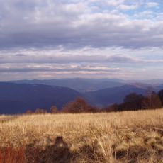
Yavirnyk
5 km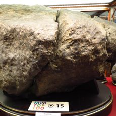
Knyahinyai meteorite
8.9 km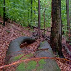
Rožok
9.9 km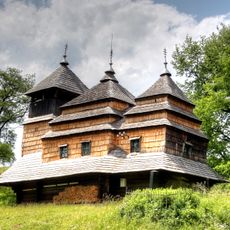
Church of the Intercession, Kostryna
110 mStinská
7.9 km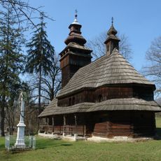
Saint Michael church in Chornoholova
10.1 km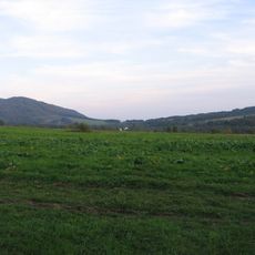
Menczył
15.7 km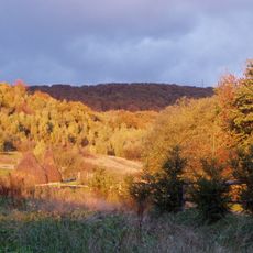
Гора Яворник
4.3 km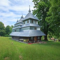
Saint Michael Church, Vyshka
7 km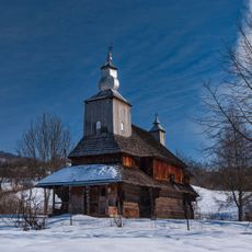
Church of St. Basil in Sil
5 km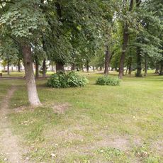
Park-arboretum
11.2 km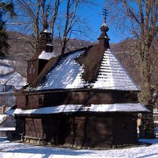
Temple of St. Michael the Archangel
16.2 km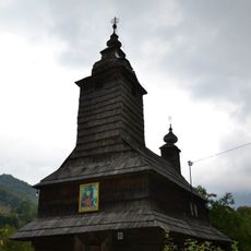
Saint Anne Orthodox church in Bukivtsovo
14.6 km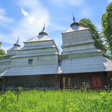
Saint John the Baptist Church, Sukhyi
14.6 km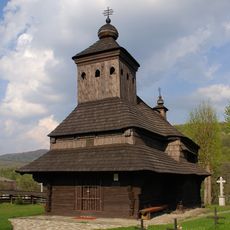
Temple of St Michael, Uličské Krivé
12.3 km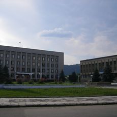
Арборетум в дворі райвиконкому
11.1 km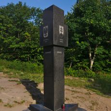
Poland–Slovakia–Ukraine tripoint
16 km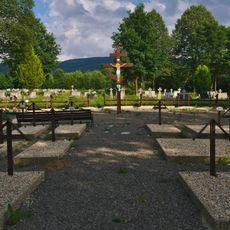
Vojnový cintorín 1. sv. vojny
12.3 km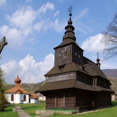
Býv. gr. k. chrám sv. Michala, kostol drevený
16.2 km
Ľudový dom
12.5 km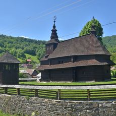
Býv. gr. k. chrám sv. Michala, opevnenie kostola
16.2 km
Býv. gr. k. chrám sv. Michala, zvonica drevená
16.2 kmVisited this place? Tap the stars to rate it and share your experience / photos with the community! Try now! You can cancel it anytime.
Discover hidden gems everywhere you go!
From secret cafés to breathtaking viewpoints, skip the crowded tourist spots and find places that match your style. Our app makes it easy with voice search, smart filtering, route optimization, and insider tips from travelers worldwide. Download now for the complete mobile experience.

A unique approach to discovering new places❞
— Le Figaro
All the places worth exploring❞
— France Info
A tailor-made excursion in just a few clicks❞
— 20 Minutes