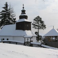
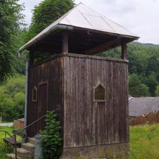
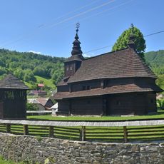
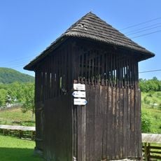
Velykyi Bereznyi, Rural settlement in Zakarpattia Oblast, Ukraine.
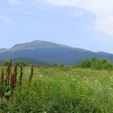
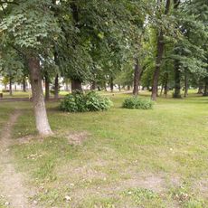
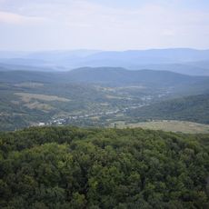
Velykyi Bereznyi is a rural settlement in western Ukraine's Zakarpattia Oblast, situated at an elevation of around 207 meters. The community occupies an area of approximately 4 square kilometers within the Uzhhorod administrative district.
The settlement first appears in written records in 1409, when a local headman named Boncha held a legal proceeding there. From that point onward it developed into an established community in the region.
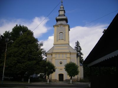
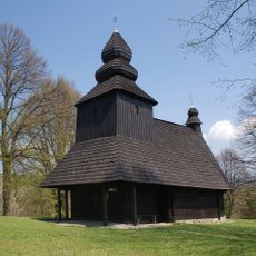
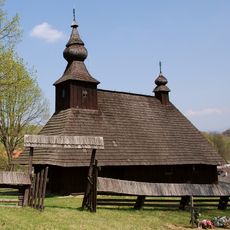
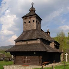
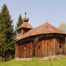
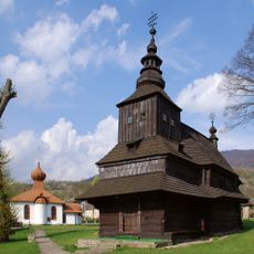
Residents here come from Ruthenian Greek Catholic, Roman Catholic, and Jewish backgrounds. This religious diversity has shaped community life in the settlement for generations.
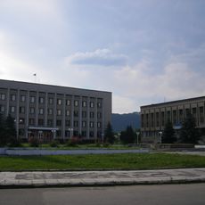
The settlement connects to surrounding areas through local road networks and maintains basic administrative services. Visitors can find local facilities and access to the broader transportation links serving the wider region.
In January 2024, this settlement underwent an official administrative change from urban-type settlement to rural settlement status. This reclassification was part of broader national reforms aimed at reorganizing local administrative structures across Ukraine.
Location: Вялікаберазьнянская пасялковая грамада
Location: Uzhhorod Raion
Elevation above the sea: 207 m
Address: вул. Шевченка, 12
Website: http://w1.c1.rada.gov.ua/pls/z7502/A005?rdat1=29.06.2008&rf7571=11023
GPS coordinates: 48.89222,22.45861
Latest update: December 10, 2025 15:47
East Carpathian Transboundary Biosphere Reserve
12.4 km
Church of Saint Nicolas of Ruská Bystrá
12.5 km
Yavirnyk
7.5 km
Havešová
15.9 km
Knyahinyai meteorite
9.5 km
Rožok
9.5 km
Beňatinský travertín
11.5 km
Church of the Intercession, Kostryna
11.1 km
Vetrová skala
14.4 km
Stinská
12.9 km
Saint Michael church in Chornoholova
11.8 km
Гора Яворник
8.1 km
Church of St. Basil in Sil
8.3 km
Park-arboretum
157 m
Temple of St. Michael the Archangel
15.6 km
Basil of Caesarea Church
11.8 km
Temple of St Michael, Uličské Krivé
11.1 km
Скалка, високий стрімчак, який виник внаслідок тектонічного злому
13.4 km
Saint John the Baptist church in Kalná Roztoka
13 km
Temple of Ascension of Jesus Christ in Šmigovec
10.2 km
Арборетум в дворі райвиконкому
68 m
Vojnový cintorín 1. sv. vojny
15 km
Býv. gr. k. chrám sv. Michala, kostol drevený
15.6 km
Chrám gr. k. sv. Jána Krstiteľa, zvonica drevená
12.8 km
Wooden bell tower in Kolbasov
13.9 km
Býv. gr. k. chrám sv. Michala, brána opevnenia
15.6 km
Býv. gr. k. chrám sv. Michala, opevnenie kostola
15.6 km
Býv. gr. k. chrám sv. Michala, zvonica drevená
15.6 kmVisited this place? Tap the stars to rate it and share your experience / photos with the community! Try now! You can cancel it anytime.
Discover hidden gems everywhere you go!
From secret cafés to breathtaking viewpoints, skip the crowded tourist spots and find places that match your style. Our app makes it easy with voice search, smart filtering, route optimization, and insider tips from travelers worldwide. Download now for the complete mobile experience.
A unique approach to discovering new places❞
— Le Figaro
All the places worth exploring❞
— France Info
A tailor-made excursion in just a few clicks❞
— 20 Minutes