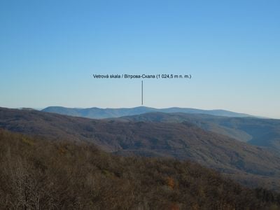
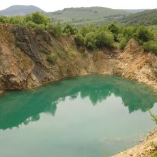
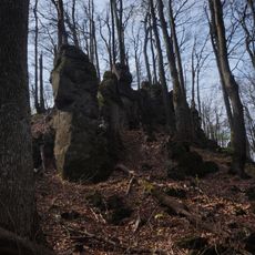
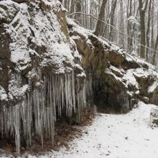
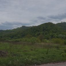
Vetrová skala, Mountain summit on Slovakia-Ukraine border, Sobrance District
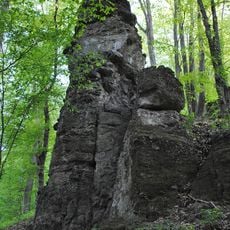
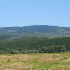
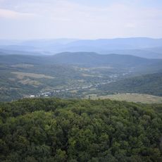
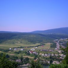
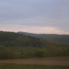
Vetrová skala is a mountain summit rising 1024.5 meters above sea level that marks the natural border between Slovakia and Ukraine within the Vihorlat mountain range. The peak sits directly on the state boundary between these two countries.
The mountain served as a boundary marker across centuries of territorial shifts between different kingdoms and modern nations in Eastern Europe. Its location made it a natural reference point for defining borders in the region.
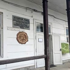
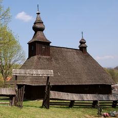
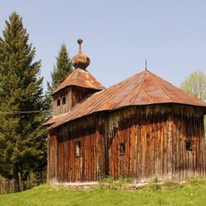
The area around the mountain is shaped by Slovak, Hungarian, and Ukrainian communities whose traditions remain visible today in local customs and the way people use the landscape.
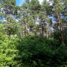
Hiking trails to the summit start from both the Slovak and Ukrainian sides, with the closest supplies and services available in the town of Sobrance. Checking border crossing conditions and preparing appropriate gear beforehand is advisable for either approach.
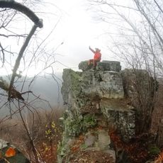
From the peak, visitors can look into two countries at once while standing at the exact point where Slovak and Ukrainian territories meet. This location makes the summit a rare geographical spot where you can experience two nations simultaneously.
Location: Sobrance District
Location: Uzhhorod Raion
Elevation above the sea: 1,024.5 m
Part of: Slovakia–Ukraine border
GPS coordinates: 48.77931,22.36387
Latest update: December 14, 2025 20:30
Nevytsky Castle
11.5 km
Velykyi Bereznyi
14.4 km
Church of Saint Nicolas of Ruská Bystrá
9.9 km
Antalovetska Polyana
15.4 km
Beňatinský travertín
3.6 km
Antalovetski skeli Natural Monument
15.4 km
Vorochiv rocks
10.7 km
Tepla Yama Natural Monument
8.1 km
Tent Rock in Zamkova Hora Tract
11.5 km
Park-arboretum
14.2 km
Antalivska Poliana Reserve
15 km
Кам'яні останці з різними формами вивітрювання «Сокалець»
16 km
Museum of Local Ethnographic Museum of Perechyn
9.7 km
Basil of Caesarea Church
11.9 km
Скалка, високий стрімчак, який виник внаслідок тектонічного злому
3.4 km
Sosna Chorna Natural Monument
13.5 km
Ostra landscape reserve
10.1 km
Nevytskyi Karyer Natural Monument
10.9 km
Temple of Ascension of Jesus Christ in Šmigovec
12.9 km
Petrovské podhorie
10.5 km
Арборетум в дворі райвиконкому
14.4 km
Synagogue in Perechyn
9.5 km
Súbor zotavovní, vila
15.2 km
Sobranecký Potok
8.8 km
Church of St. Lawrence
14.1 km
Russayova vila
14 km
Váradyho vila
12.8 km
Kostol Nanebovzatia Panny Márie
12 kmVisited this place? Tap the stars to rate it and share your experience / photos with the community! Try now! You can cancel it anytime.
Discover hidden gems everywhere you go!
From secret cafés to breathtaking viewpoints, skip the crowded tourist spots and find places that match your style. Our app makes it easy with voice search, smart filtering, route optimization, and insider tips from travelers worldwide. Download now for the complete mobile experience.
A unique approach to discovering new places❞
— Le Figaro
All the places worth exploring❞
— France Info
A tailor-made excursion in just a few clicks❞
— 20 Minutes