Romny Raion, Administrative district in Sumy Oblast, Ukraine
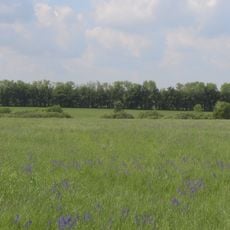
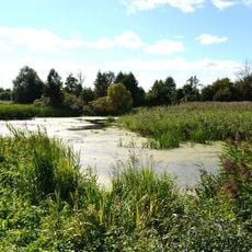
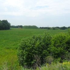
Romny Raion is an administrative district in Sumy Oblast that contains eight hromadas with the town of Romny serving as its administrative center. The territory spans approximately 1,900 square kilometers and is shaped by the Romen and Sula rivers, which flow through the region.
The district underwent significant territorial reorganization during Ukraine's 2020 administrative reform, which reduced Sumy Oblast to five raions and expanded Romny Raion's boundaries considerably. This change was part of a broader decentralization effort that reshaped how local governance operates.
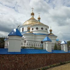
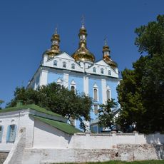
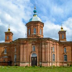
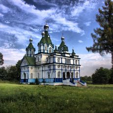
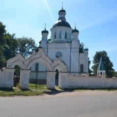
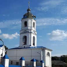
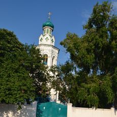
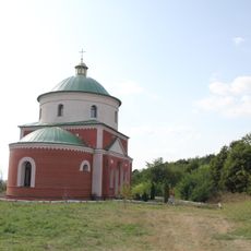
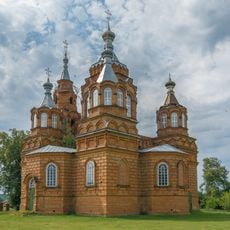
Religious architecture shapes the local landscape, with churches like the Cathedral of the Holy Spirit and Saint Basil Church marking the center of community life. These buildings reflect the deep Christian faith that remains visible in how people gather and celebrate their traditions today.
The best time to explore the region is during warmer months when the river landscapes and historical sites are most accessible. Keep in mind that the area is predominantly rural, so services and facilities in smaller communities may be limited compared to urban centers.
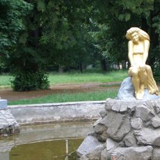
Near the confluence of the Romen and Sula rivers lie the remains of ancient fortified settlements at Monastyryshche, which preserve traces of earlier cultures. These archaeological sites tell of past populations who chose these river landscapes as strategic locations.
The community of curious travelers
AroundUs brings together thousands of curated places, local tips, and hidden gems, enriched daily by 60,000 contributors worldwide.