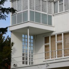
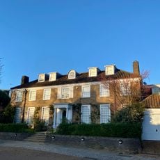
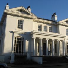
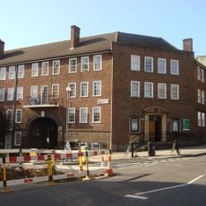
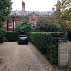
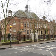
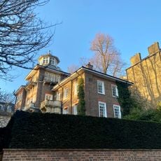
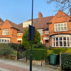
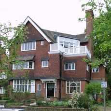
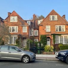
West Hampstead, Residential district in northwest London, United Kingdom
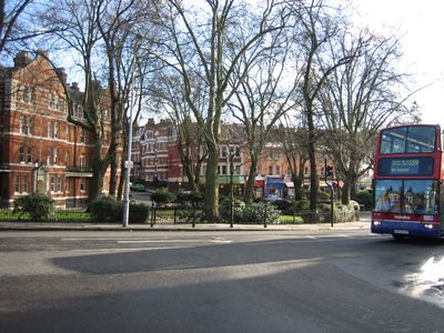
West Hampstead is a residential district in northwest London with three railway stations positioned along West End Lane. These stations link the area to central London and surrounding neighborhoods through different transit networks, while independent shops, restaurants, and cafes concentrate around West End Green serving the local community.
The district received its current name in the late 1800s following the construction of railway stations. This name change from West End was necessary to avoid confusion with London's famous entertainment district.
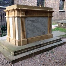
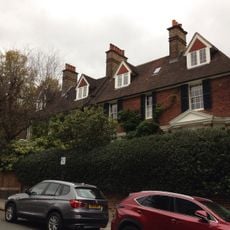
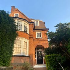
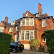
The neighborhood has been home to several notable artists and musicians whose residences are marked with commemorative plaques. These reminders of past residents reflect the area's long connection to creative and cultural figures.
The area is best accessed along West End Lane, where most shops and venues cluster together. Visitors should expect the rhythm of a settled residential neighborhood, so availability and hours of local businesses reflect the needs of residents rather than tourists.
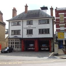
The Railway Hotel on West End Lane once housed Klooks Kleek, an influential early music club of the 1960s. This venue shaped the emerging British music scene with performances that helped define an era of rock and pop.
Location: London Borough of Camden
Shares border with: Fortune Green
GPS coordinates: 51.55430,-0.18880
Latest update: December 14, 2025 17:47
St John-at-Hampstead
537 m
Emmanuel Church
315 m
Sun House
516 m
Shepherds Well
470 m
Presbyterian Church Of St Andrew, Hampstead
118 m
Kidderpore Hall, Kings College
489 m
West Hampstead Library
485 m
West Hampstead Fire Station
404 m
Tomb of John Harrison
540 m
Drinking Fountain On West End Green At The Junction With Mill Lane And West End Lane
351 m
43, 43A And 45, Hollycroft Avenue
516 m
49 And 51, Frognal
427 m
66, Frognal
439 m
One Oak
352 m
Numbers 1 And 2 Including Walls To Street
467 m
The Old Mansion And Attached Wall, Railings And Lamp Holder
488 m
Gates And Railings To University College School
536 m
Numbers 88 And 88A And Attached Railings
454 m
The Oaks
523 m
47 And 49, Hollycroft Avenue
493 m
39 And 39A, Frognal
524 m
33, Heath Drive
229 m
Numbers 5 And 6 Including Walls To Side And Front
445 m
West End Lane Public Conveniences
358 m
2 And 4, Redington Road
408 m
31 And 32, Heath Drive
239 m
25 And 26, Heath Drive
305 m
40 And 42, Ferncroft Avenue
421 mVisited this place? Tap the stars to rate it and share your experience / photos with the community! Try now! You can cancel it anytime.
Discover hidden gems everywhere you go!
From secret cafés to breathtaking viewpoints, skip the crowded tourist spots and find places that match your style. Our app makes it easy with voice search, smart filtering, route optimization, and insider tips from travelers worldwide. Download now for the complete mobile experience.
A unique approach to discovering new places❞
— Le Figaro
All the places worth exploring❞
— France Info
A tailor-made excursion in just a few clicks❞
— 20 Minutes