Enable Location

We need your location to show you interesting places around you

Discover nearby places

Find interesting locations and hidden gems around you

Precise directions

Get accurate directions and distances to places

Your location is never shared with other users. It's only used when you tap the location button.

Fort Smith

Log in to your account

Start exploring — it's free

Trusted by 62,031 travelers worldwide

Continue with Google
Continue with Apple
or

We will send you a code to connect

By continuing, you accept our Terms and Conditions and our Privacy Policy

Check your inbox

We've sent a pincode in your inbox. Please enter the code below.

Fort Smith, Regional hub in Northwest Arkansas, United States

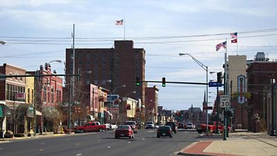
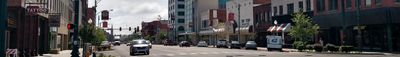
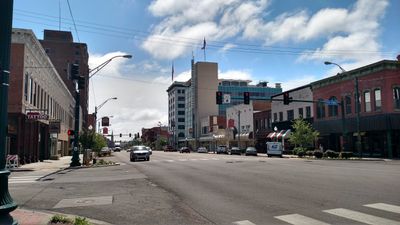
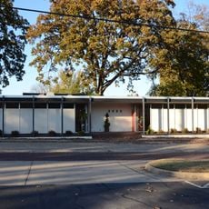
Fort Smith sits where the Poteau River meets the Arkansas River, forming a commercial hub with factories, warehouses, and business districts along both riverbanks. The settlement spreads across hilly terrain between the floodplains and the wooded slopes of the Ouachita Mountains to the north.

The settlement began in 1817 as a border post between Cherokee territory and white settlements, meant to prevent conflict and monitor trade. After the Civil War, it became a judicial district for Indian Territory and grew into the second-largest city in Arkansas through rail connections and coal mining.

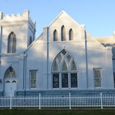
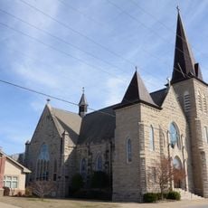
The name comes from the original military post, which remains visible today through original buildings and reconstructions at several sites. Visitors can walk through restored barracks and along the old fortifications, where panels explain the life of soldiers and settlers.

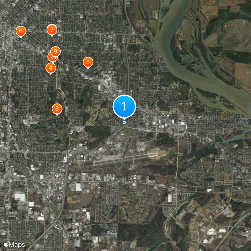
The airport terminal is about 6 miles (10 km) southeast of downtown, with several daily connections to larger hubs. Drivers reach the area via Interstate 40, which runs east-west through the southern part, and several highways from all directions.

The courthouse along the riverfront was one of the few courts with jurisdiction over the entire Indian Territory west of Arkansas. The gallows behind the building could hold up to twelve people at once and still stands today as part of the museum grounds.

The community of curious travelers

AroundUs brings together thousands of curated places, local tips, and hidden gems, enriched daily by 60,000 contributors worldwide.

Start exploring
Location
Inception
1817
Elevation above the sea
141 m
GPS coordinates
35.35000,-94.36667
Latest update
December 12, 2025 21:13
Around this place
Vietnamese Baptist Church
United States of America

Vietnamese Baptist Church

5 km
Fishback Neighborhood Historic District
United States of America

Fishback Neighborhood Historic District

4.1 km
Oak Cemetery
United States of America

Oak Cemetery

3.9 km
Saint Scholastica Convent
United States of America

Saint Scholastica Convent

2.9 km
United States of America

Ferguson-Calderara House

5.9 km
First Evangelical Lutheran Church
United States of America

First Evangelical Lutheran Church

5 km
Oscar Chambers House
United States of America

Oscar Chambers House

3 km
Horace Franklin Rogers House
United States of America

Horace Franklin Rogers House

4.2 km
C.R. Breckinridge House
United States of America

C.R. Breckinridge House

5.8 km
Robert Wanslow House
United States of America

Robert Wanslow House

3.7 km
Harold Adams Office Building
United States of America

Harold Adams Office Building

4.9 km
Tillman Shaw House
United States of America

Tillman Shaw House

5.3 km
Fitzgerald Historic District
United States of America

Fitzgerald Historic District

4.7 km
United States of America

Dr. Neil Crow Sr. House

1.9 km
United States of America

Fort Smith Regional Art Museum

5.6 km
Old Arkansas 22, Barling Segment
United States of America

Old Arkansas 22, Barling Segment

4.7 km
United States of America

The Links at Fort Smith Golf & Athetic Club

3.2 km
United States of America

Ben Geren Golf Course

3.8 km
United States of America

Ben Geren Golf Course

4.2 km
Elmwood Cemetery
United States of America

Elmwood Cemetery

4.8 km
United States of America

World's Largest Christmas Pickle

5.2 km
United States of America

NUMA Bronze Statue

3.5 km
United States of America

The Flower Tower

5.1 km
United States of America

Monument featuring aircraft, aircraft model

1.3 km
United States of America

Monument featuring aircraft, aircraft model

1.3 km
United States of America

Monument featuring aircraft, aircraft model

1.3 km
United States of America

Monument featuring aircraft, aircraft model

1.2 km
United States of America

Monument featuring aircraft, aircraft model

1.2 km
Show the full map
« Fort Smith - Regional hub in Northwest Arkansas, United States » is provided by Around Us (aroundus.com). Images and texts are derived from Wikimedia project under a Creative Commons license. You are allowed to copy, distribute, and modify copies of this page, under the conditions set by the license, as long as this note is clearly visible.

Discover hidden gems everywhere you go!

From secret cafés to breathtaking viewpoints, skip the crowded tourist spots and find places that match your style. Our app makes it easy with voice search, smart filtering, route optimization, and insider tips from travelers worldwide. Download now for the complete mobile experience.

Around Us App Screenshot

A unique approach to discovering new places

Le Figaro

All the places worth exploring

France Info

A tailor-made excursion in just a few clicks

20 Minutes

Around Us
Travel Guide & Maps
Download

Send to your phone

QR Code
1

Open the camera app on your mobile.

2

Point at the QR code with your camera. A notification will appear.

3

Tap the notification to open the link.