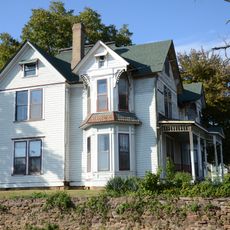
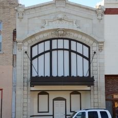
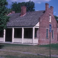
Sebastian County, County division in West Central Arkansas, United States.
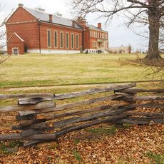
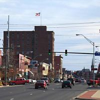
Sebastian County is an administrative region in West Arkansas defined by the Arkansas River to the north and the Ouachita Mountains rising to the south. The area spans across multiple communities connected by several major highways and natural features.
The region was established in 1851 from portions of several existing counties and named after William K. Sebastian, a U.S. Senator of that era. Its creation was part of the early administrative organization of western Arkansas.
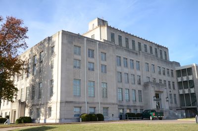
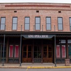
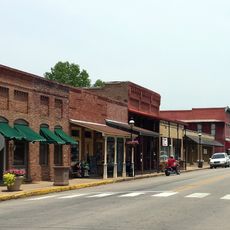
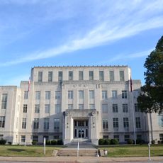
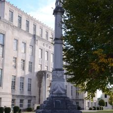
The region maintains a dual seat government structure that keeps Fort Smith and Greenwood as equal administrative centers, reflecting how communities here developed and share local governance responsibilities. This arrangement shows the balanced importance both cities hold in the county's daily life.
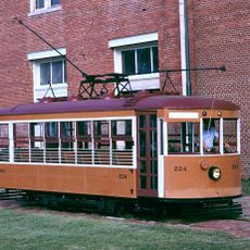
Multiple major highways run through the region, connecting different towns and surrounding areas for easy travel. Visitors can use these routes to explore various communities and natural features across the county.
A major recreation area features multiple disc golf courses with varying layouts and terrain challenges for players of different skill levels. These courses offer visitors an accessible outdoor activity to enjoy while exploring the county.
Location: Arkansas
Inception: January 10, 1851
Capital city: Fort Smith
Shares border with: Crawford County, Franklin County, Logan County, Scott County, LeFlore County, Sequoyah County
Website: http://sebastiancountyonline.com
GPS coordinates: 35.59417,-94.25806
Latest update: December 7, 2025 19:22
Fort Smith National Historic Site
27.8 km
Fort Smith Trolley Museum
28 km
Fort Smith National Cemetery
28.1 km
King Opera House
19.1 km
St. Louis–San Francisco 4003
28 km
Fort Smith Masonic Temple
27.4 km
Fort Smith Museum of History
27.7 km
Van Buren Historic District
19.8 km
Birney Safety Streetcar No. 224
28 km
W.H.H. Clayton House
26.9 km
Van Buren Confederate Monument
19.9 km
Judge Isaac C. Parker Federal Building
27.7 km
Sebastian County Courthouse/Ft. Smith City Hall
27.8 km
Mount Olive United Methodist Church
19.6 km
Hartford Water Tower
64.3 km
Maumelle Ordnance Works Locomotive 1
28 km
Bryan House
19.4 km
Bob Burns House
19.5 km
Drennen-Scott House
19.7 km
Vietnamese Baptist Church
26.7 km
New Theatre
27.6 km
Ft. Smith Confederate Monument
27.7 km
Franklin County Courthouse, Southern District
38.8 km
Jones Memorial Methodist Church
64.5 km
Belle Grove Historic District
27 km
Greenwood Presbyterian Church
41.9 km
Fishback Neighborhood Historic District
27.8 km
United States Air Force Locomotive No. 1246
28 kmVisited this place? Tap the stars to rate it and share your experience / photos with the community! Try now! You can cancel it anytime.
Discover hidden gems everywhere you go!
From secret cafés to breathtaking viewpoints, skip the crowded tourist spots and find places that match your style. Our app makes it easy with voice search, smart filtering, route optimization, and insider tips from travelers worldwide. Download now for the complete mobile experience.
A unique approach to discovering new places❞
— Le Figaro
All the places worth exploring❞
— France Info
A tailor-made excursion in just a few clicks❞
— 20 Minutes