Chest opened
+${chestReward.xp} XP
Explorer
NOUVEAU ×${chestReward.collectible.quantity}
tapez pour fermer
Chest locked

Open chests in the app

Around Us is built for your phone — chests unlock when you walk, explore and capture nearby places.

Enable Location

We need your location to show you interesting places around you

Discover nearby places

Find interesting locations and hidden gems around you

Precise directions

Get accurate directions and distances to places

Your location is never shared with other users. It's only used when you tap the location button.

Batesville

Log in to your account

Start exploring — it's free

Trusted by 72,879 travelers worldwide

Continue with Google
Continue with Apple
or

We will send you a code to connect

By continuing, you accept our Terms and Conditions and our Privacy Policy

Check your inbox

We've sent a pincode in your inbox. Please enter the code below.

Discussion Reviews 1 Photos
33.5k Popularity

Batesville, County seat in Independence County, Arkansas

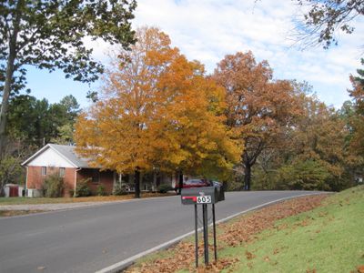
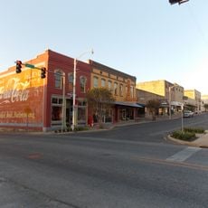
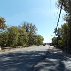
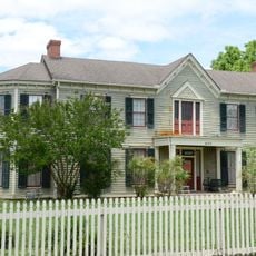
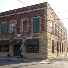
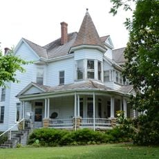
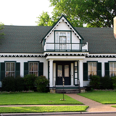
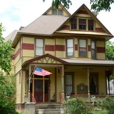
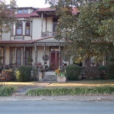
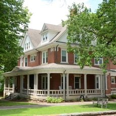
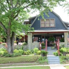
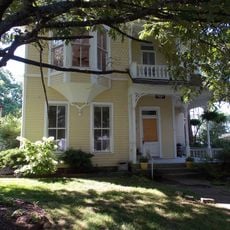
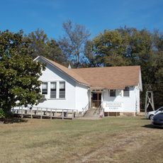
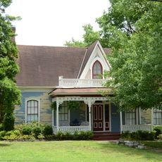
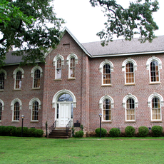
Batesville is a county seat in northeastern Arkansas situated along the White River. The town spreads across several miles of land and functions as a regional hub with educational institutions, commercial areas, and manufacturing activities.

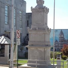
The town was founded in 1821 and officially incorporated in 1822. It developed as a regional center in an area that had been home to different peoples for thousands of years.

The name honors James Woodson Bates, an early political leader of the region. The town shapes daily life along the White River and holds memories of Mississippian peoples who lived here long before modern settlement.

The town has several colleges and educational centers that serve as community anchors and provide visitor resources. Access is straightforward since the town sits along main roads and offers typical urban amenities for travelers.

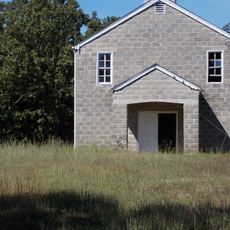
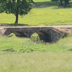
The region holds over 1,200 archaeological sites with traces of Mississippian cultures and the ancient settlement of Coligua. These remains tell of a long inhabited history before the modern town took shape.

The community of curious travelers

AroundUs brings together thousands of curated places, local tips, and hidden gems, enriched daily by 60,000 contributors worldwide.

Start exploring
Inception
1821
Elevation above the sea
103 m
GPS coordinates
35.77361,-91.64139
Latest update
December 19, 2025 23:32
Around this place
Lee's Chapel Church and Masonic Hall
United States of America

Lee's Chapel Church and Masonic Hall

14.3 km
Cedar Creek Bridge
United States of America

Cedar Creek Bridge

17.2 km
Batesville Confederate Monument
United States of America

Batesville Confederate Monument

1.1 km
Batesville Commercial Historic District
United States of America

Batesville Commercial Historic District

1.2 km
Adler House
United States of America

Adler House

964 m
Bethel African Methodist Episcopal Church
United States of America

Bethel African Methodist Episcopal Church

407 m
Charles R. Handford House
United States of America

Charles R. Handford House

574 m
Central Avenue Bridge
United States of America

Central Avenue Bridge

1.3 km
Glenn House
United States of America

Glenn House

728 m
Moorefield School
United States of America

Moorefield School

6.5 km
Dondy Building
United States of America

Dondy Building

989 m
Batesville East Main Historic District
United States of America

Batesville East Main Historic District

1.6 km
Garrott House
United States of America

Garrott House

765 m
James S. Handford House
United States of America

James S. Handford House

570 m
Wycough-Jones House
United States of America

Wycough-Jones House

705 m
Cook-Morrow House
United States of America

Cook-Morrow House

530 m
Wyatt House
United States of America

Wyatt House

5.1 km
United States of America

Captain John T. Warner House

381 m
Mitchell House
United States of America

Mitchell House

303 m
Bartlett-Kirk House
United States of America

Bartlett-Kirk House

299 m
Jamestown School
United States of America

Jamestown School

10.2 km
Edward Dickinson House
United States of America

Edward Dickinson House

537 m
School Addition Historic District
United States of America

School Addition Historic District

684 m
Morrow Hall
United States of America

Morrow Hall

195 m
United States of America

Batesville Municipal Golf Course

2.1 km
United States of America

The Course at Eagle Mountain

6.1 km
United States of America

Arkansas Lime Co. No. 2

1.6 km
United States of America

Scenic viewpoint

1.9 km
Show the full map
Reviews
Share your experience

No review yet

Discussions
Start a discussion...

No discussion yet

« Batesville - County seat in Independence County, Arkansas » is provided by Around Us (aroundus.com). Images and texts are derived from Wikimedia project under a Creative Commons license. You are allowed to copy, distribute, and modify copies of this page, under the conditions set by the license, as long as this note is clearly visible.

Discover hidden gems everywhere you go!

From secret cafés to breathtaking viewpoints, skip the crowded tourist spots and find places that match your style. Our app makes it easy with voice search, smart filtering, route optimization, and insider tips from travelers worldwide. Download now for the complete mobile experience.

Around Us App Screenshot

A unique approach to discovering new places

Le Figaro

All the places worth exploring

France Info

A tailor-made excursion in just a few clicks

20 Minutes

Around Us
Travel Guide & Maps
Download

Send to your phone

QR Code
1

Open the camera app on your mobile.

2

Point at the QR code with your camera. A notification will appear.

3

Tap the notification to open the link.