Enable Location

We need your location to show you interesting places around you

Discover nearby places

Find interesting locations and hidden gems around you

Precise directions

Get accurate directions and distances to places

Your location is never shared with other users. It's only used when you tap the location button.

Springdale

Log in to your account

Start exploring — it's free

Trusted by travelers worldwide

Continue with Google
Continue with Apple
or

We will send you a code to connect

By continuing, you accept our Terms and Conditions and our Privacy Policy

Check your inbox

We've sent a pincode in your inbox. Please enter the code below.

Springdale, Industrial center in Northwest Arkansas, United States

Description

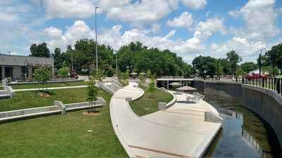
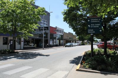
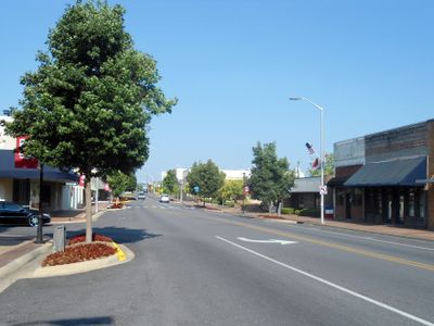
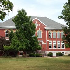
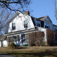
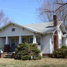
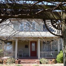
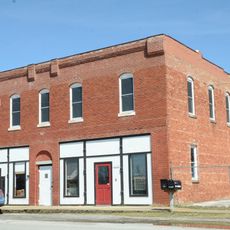
Springdale sits on the Springfield Plateau in the Ozark Mountains at an elevation of about 969 meters (3180 feet), spreading across Washington and Benton counties. The town includes residential neighborhoods with single-family homes, industrial zones along main roads, and parks scattered between developed areas.

History

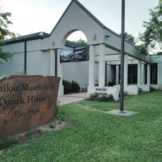
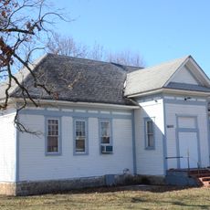
The settlement began in 1838 under the name Shiloh and changed to Springdale in 1872 when a post office opened to serve the growing community. During the 20th century, the town developed into a center for the poultry industry, creating jobs that drew workers from different regions.

Culture

The town is home to residents from the Marshall Islands, with more living here than in any other mainland location in North America. Many residents speak Spanish in daily life, and the community organizes festivals that reflect Caribbean and Latin American traditions.

Practical

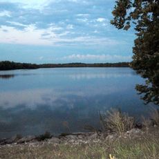
A campus of Northwest Arkansas Community College sits within the town limits and offers courses across different fields of study. Public parks spread throughout the area provide facilities for picnics, walking trails and sports, suitable for families and travelers passing through.

Did you know?

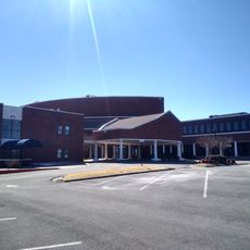
The title 'Poultry Capital of the World' was given to the town in 2013, as it hosts the global headquarters of Tyson Foods, the largest meat producer worldwide. Beyond the main buildings, additional processing plants line the access roads, shaping the local landscape and economy.

Inception
1838
Elevation above the sea
969 m
GPS coordinates
36.18139,-94.14583
Latest update
December 13, 2025 17:06

AroundUs brings together thousands of curated places, local tips, and hidden gems, enriched daily by 60,000 contributors worldwide. Discover all places nearby (Washington County).

Around this place
The Blessings golf course
United States of America

The Blessings golf course

7.3 km
First Baptist Church of Springdale
United States of America

First Baptist Church of Springdale

1.6 km
Botanical Garden of the Ozarks
United States of America

Botanical Garden of the Ozarks

5.6 km
Shiloh Museum of Ozark History
United States of America

Shiloh Museum of Ozark History

1.4 km
Strengthen the Arm of Liberty Monument
United States of America

Strengthen the Arm of Liberty Monument

8 km
Fitzgerald Station and Farmstead
United States of America

Fitzgerald Station and Farmstead

3.9 km
Old Springdale High School
United States of America

Old Springdale High School

1 km
St. Joseph Catholic Church
United States of America

St. Joseph Catholic Church

8 km
George Park Splash Pad
United States of America

George Park Splash Pad

6.5 km
Johnson House and Mill
United States of America

Johnson House and Mill

5.7 km
Shiloh Church
United States of America

Shiloh Church

1.5 km
Hemingway House and Barn
United States of America

Hemingway House and Barn

8 km
Beasley Homestead
United States of America

Beasley Homestead

4.3 km
United States of America

Shiloh Historic District

1.5 km
Tontitown School Building
United States of America

Tontitown School Building

7.9 km
Beely-Johnson American Legion Post 139
United States of America

Beely-Johnson American Legion Post 139

1.6 km
United States of America

Routh-Bailey House

8.3 km
Fishback School
United States of America

Fishback School

4.8 km
United States of America

Green Barn

8.6 km
House at 712 N. Mill Street
United States of America

House at 712 N. Mill Street

1.9 km
Pinkston-Mays Store Building
United States of America

Pinkston-Mays Store Building

8.5 km
United States of America

Neills Bluff

8.9 km
United States of America

Goad Springs Cemetery

7.6 km
Lake Fayetteville
United States of America

Lake Fayetteville

5.1 km
United States of America

NWA Escape Room

6.3 km
United States of America

Paradise Valley Golf and Athletic Club

7.4 km
United States of America

George Compass

3.4 km
United States of America

Work of art, sculpture

5.7 km
Show the full map
« Springdale - Industrial center in Northwest Arkansas, United States » is provided by Around Us (aroundus.com). Images and texts are derived from Wikimedia project under a Creative Commons license. You are allowed to copy, distribute, and modify copies of this page, under the conditions set by the license, as long as this note is clearly visible.

Discover hidden gems everywhere you go!

From secret cafés to breathtaking viewpoints, skip the crowded tourist spots and find places that match your style. Our app makes it easy with voice search, smart filtering, route optimization, and insider tips from travelers worldwide. Download now for the complete mobile experience.

Around Us App Screenshot

A unique approach to discovering new places

Le Figaro

All the places worth exploring

France Info

A tailor-made excursion in just a few clicks

20 Minutes

Around Us
Travel Guide & Maps
Download

Send to your phone

QR Code
1

Open the camera app on your mobile.

2

Point at the QR code with your camera. A notification will appear.

3

Tap the notification to open the link.