Enable Location

We need your location to show you interesting places around you

Discover nearby places

Find interesting locations and hidden gems around you

Precise directions

Get accurate directions and distances to places

Your location is never shared with other users. It's only used when you tap the location button.

Adams County

Log in to your account

Start exploring — it's free

Trusted by 61,814 travelers worldwide

Continue with Google
Continue with Apple
or

We will send you a code to connect

By continuing, you accept our Terms and Conditions and our Privacy Policy

Check your inbox

We've sent a pincode in your inbox. Please enter the code below.

Adams County, County in southern Nebraska, United States

Description

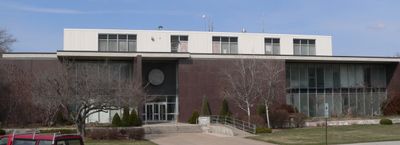
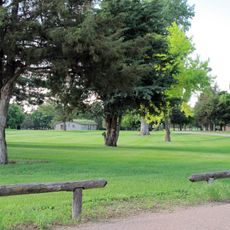
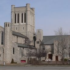
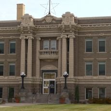
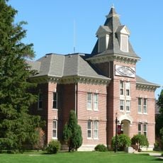
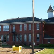
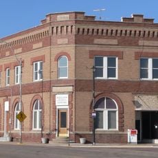
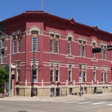
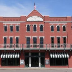
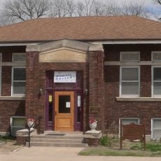
Adams County is a county in southern Nebraska covering fertile plains across its landscape. Hastings serves as the administrative center that anchors the region's economic and community life.

History

The county was established in 1867 and named after John Adams, the second United States president. Official organization followed in 1871, setting the foundation for the region's development.

Culture

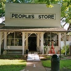
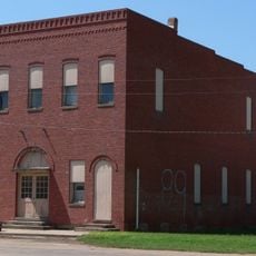
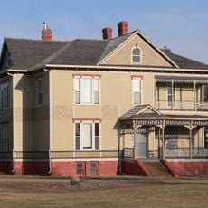
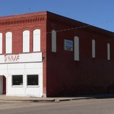
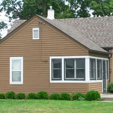
Communities like Ayr, Holstein, and Juniata shape the region with their small-town character rooted in farming traditions. These towns reflect how agriculture has defined daily life and local identity across generations.

Practical

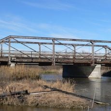
The area is crossed by major highways including U.S. Routes 6, 34, 281, and Nebraska Highway 74 that connect it to surrounding regional centers. These transportation corridors make traveling through and accessing the region straightforward.

Did you know?

The county uses vehicle registration prefix 14, dating back to a 1922 ranking of vehicle ownership across the state. This numbering system reflects an old classification method that has remained in place longer than most people realize.

Location
Inception
1871
Capital city
Hastings
Shares border with
Hall County, Webster County, Kearney County, Clay County, Buffalo County, Hamilton County
GPS coordinates
40.52000,-98.50000
Latest update
December 10, 2025 15:53

AroundUs brings together thousands of curated places, local tips, and hidden gems, enriched daily by 60,000 contributors worldwide. Discover all places nearby (Nebraska).

Around this place
Fort Kearny
United States of America

Fort Kearny

44.7 km
Stuhr Museum
United States of America

Stuhr Museum

41.9 km
Pioneer Village
United States of America

Pioneer Village

38.2 km
Hastings Museum
United States of America

Hastings Museum

12.8 km
St. Mark's Pro-Cathedral
United States of America

St. Mark's Pro-Cathedral

11.9 km
Saint Martin's Catholic Church
United States of America

Saint Martin's Catholic Church

31.1 km
Nine Bridges Bridge
United States of America

Nine Bridges Bridge

35.7 km
Chautauqua Pavilion
United States of America

Chautauqua Pavilion

10.5 km
Andrew M. Hargis House
United States of America

Andrew M. Hargis House

46.3 km
Kearney County Courthouse
United States of America

Kearney County Courthouse

38 km
IOOF Hall and Opera House
United States of America

IOOF Hall and Opera House

23.4 km
Clay County Courthouse
United States of America

Clay County Courthouse

37.7 km
George Meisner House
United States of America

George Meisner House

36.9 km
McCormick Hall
United States of America

McCormick Hall

13.4 km
Glenville School
United States of America

Glenville School

20.7 km
Meisner Bank Building
United States of America

Meisner Bank Building

35.1 km
United States of America

Minden United States Post Office

37.9 km
Nowlan-Dietrich House
United States of America

Nowlan-Dietrich House

12.8 km
Nebraska Loan and Trust Company Building
United States of America

Nebraska Loan and Trust Company Building

11.8 km
Lawrence Opera House
United States of America

Lawrence Opera House

32.5 km
W. T. Thorne Building
United States of America

W. T. Thorne Building

38 km
William Brach House
United States of America

William Brach House

12.3 km
Eddie Eugene and Harriet Cotton Carpenter Farmstead
United States of America

Eddie Eugene and Harriet Cotton Carpenter Farmstead

33.5 km
United States of America

William Cather Homestead Site

36.1 km
Glade-Donald House
United States of America

Glade-Donald House

46.2 km
Heinrich Giese House
United States of America

Heinrich Giese House

43.8 km
Fairfield Carnegie Library
United States of America

Fairfield Carnegie Library

34.9 km
Kilgore Bridge
United States of America

Kilgore Bridge

42.3 km
Show the full map
« Adams County - County in southern Nebraska, United States » is provided by Around Us (aroundus.com). Images and texts are derived from Wikimedia project under a Creative Commons license. You are allowed to copy, distribute, and modify copies of this page, under the conditions set by the license, as long as this note is clearly visible.

Discover hidden gems everywhere you go!

From secret cafés to breathtaking viewpoints, skip the crowded tourist spots and find places that match your style. Our app makes it easy with voice search, smart filtering, route optimization, and insider tips from travelers worldwide. Download now for the complete mobile experience.

Around Us App Screenshot

A unique approach to discovering new places

Le Figaro

All the places worth exploring

France Info

A tailor-made excursion in just a few clicks

20 Minutes

Around Us
Travel Guide & Maps
Download

Send to your phone

QR Code
1

Open the camera app on your mobile.

2

Point at the QR code with your camera. A notification will appear.

3

Tap the notification to open the link.