Enable Location

We need your location to show you interesting places around you

Discover nearby places

Find interesting locations and hidden gems around you

Precise directions

Get accurate directions and distances to places

Your location is never shared with other users. It's only used when you tap the location button.

Davis County

Log in to your account

Start exploring — it's free

Trusted by 61,851 travelers worldwide

Continue with Google
Continue with Apple
or

We will send you a code to connect

By continuing, you accept our Terms and Conditions and our Privacy Policy

Check your inbox

We've sent a pincode in your inbox. Please enter the code below.

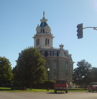
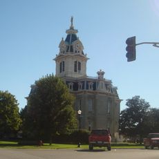
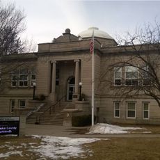
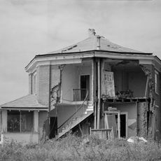
Davis County, County administration center in Bloomfield, Iowa.

Description

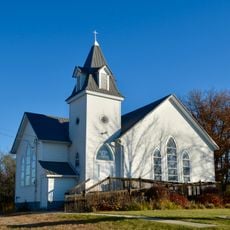
Davis County is an administrative region in Iowa with rolling farmland and four incorporated cities, with Bloomfield serving as its administrative center. The area spans across agricultural land mixed with forested areas and small towns connected by rural roads.

History

The county was established in 1843 and named after US Congressman Garrett Davis from Kentucky. Its creation came during the period when settlers were developing the region and integrating it into Iowa's administrative structure.

Culture

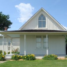
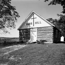
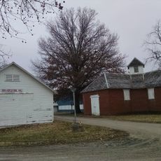
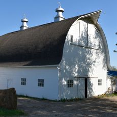
The area is home to a significant Amish community whose traditional practices shape the local landscape and commerce. Walking through rural roads and visiting local shops, visitors encounter handcrafted goods and farming methods that reflect their way of life.

Practical

The best way to explore the county is by car, as the towns are spread across rural roads. Visitors should plan daytime driving to see the rural landscape and local shops across the different communities.

Did you know?

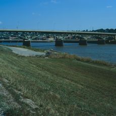
Lake Wapello State Park within the county offers a quiet setting with native hardwood forests and a lake where fish such as bass and bluegill thrive. The park remains a favorite spot for fishing and hiking that many visitors miss when focusing on the towns.

Location
Inception
1843
Capital city
Bloomfield
Shares border with
Wapello County, Schuyler County, Scotland County, Van Buren County, Jefferson County, Monroe County, Appanoose County
GPS coordinates
40.74444,-92.41333
Latest update
December 10, 2025 15:52

AroundUs brings together thousands of curated places, local tips, and hidden gems, enriched daily by 60,000 contributors worldwide. Discover all places nearby (Iowa).

Around this place
American Gothic House
United States of America

American Gothic House

25.9 km
Ottumwa City Hall
United States of America

Ottumwa City Hall

30.5 km
B'nai Jacob Synagogue
United States of America

B'nai Jacob Synagogue

30 km
Mars Hill
United States of America

Mars Hill

17.9 km
Bloomfield Public Library
United States of America

Bloomfield Public Library

933 m
Jefferson Street Viaduct
United States of America

Jefferson Street Viaduct

29.7 km
Davis County Courthouse
United States of America

Davis County Courthouse

976 m
Ottumwa Public Library
United States of America

Ottumwa Public Library

30.6 km
McHaffey Opera House
United States of America

McHaffey Opera House

25.1 km
First National Bank
United States of America

First National Bank

30.4 km
Trinity Episcopal Church
United States of America

Trinity Episcopal Church

30.6 km
Fifth Street Bluff Historic District
United States of America

Fifth Street Bluff Historic District

30.6 km
J.W. Garner Building
United States of America

J.W. Garner Building

30.6 km
Eldon Public Library
United States of America

Eldon Public Library

25.1 km
Asa Wilson House
United States of America

Asa Wilson House

588 m
Benson Block
United States of America

Benson Block

30.4 km
West Grove United Methodist Church
United States of America

West Grove United Methodist Church

12.2 km
Hofmann Building
United States of America

Hofmann Building

30.5 km
Henry Wishard House
United States of America

Henry Wishard House

805 m
Big 4 Fair Art Hall
United States of America

Big 4 Fair Art Hall

24.8 km
Fred and Rosa Fulton Barn
United States of America

Fred and Rosa Fulton Barn

29 km
William P. Hall House
United States of America

William P. Hall House

26.5 km
American Gothic House Center
United States of America

American Gothic House Center

25.8 km
Greater Second Street Historic District
United States of America

Greater Second Street Historic District

30.3 km
Russell Octagon House
United States of America

Russell Octagon House

12.7 km
Bloomfield Square
United States of America

Bloomfield Square

779 m
William Findley House
United States of America

William Findley House

660 m
James B. Weaver House
United States of America

James B. Weaver House

1.2 km
Show the full map
Administrative divisions
« Davis County - County administration center in Bloomfield, Iowa » is provided by Around Us (aroundus.com). Images and texts are derived from Wikimedia project under a Creative Commons license. You are allowed to copy, distribute, and modify copies of this page, under the conditions set by the license, as long as this note is clearly visible.

Discover hidden gems everywhere you go!

From secret cafés to breathtaking viewpoints, skip the crowded tourist spots and find places that match your style. Our app makes it easy with voice search, smart filtering, route optimization, and insider tips from travelers worldwide. Download now for the complete mobile experience.

Around Us App Screenshot

A unique approach to discovering new places

Le Figaro

All the places worth exploring

France Info

A tailor-made excursion in just a few clicks

20 Minutes

Around Us
Travel Guide & Maps
Download

Send to your phone

QR Code
1

Open the camera app on your mobile.

2

Point at the QR code with your camera. A notification will appear.

3

Tap the notification to open the link.