Butler County, Administrative county in Iowa, US
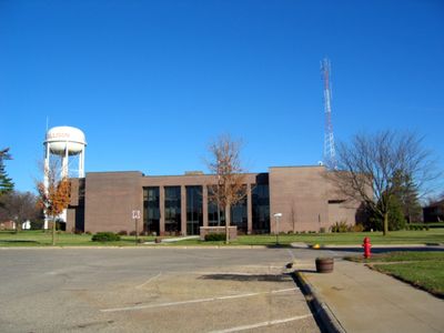
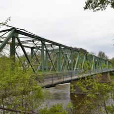
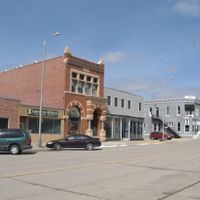
Butler County is an administrative county in northeastern Iowa covering roughly 580 square miles. The town of Allison serves as the county seat, where most government offices and public services are centered.
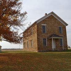
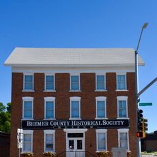
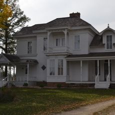
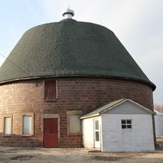
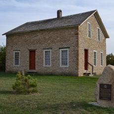
The county was established in 1851 and named after General William Orlando Butler, a Kentucky military officer who fought in the Mexican-American War. Early development centered on farming, which has remained central to the region's character.
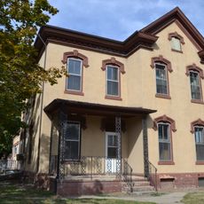
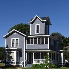
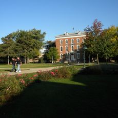
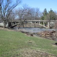
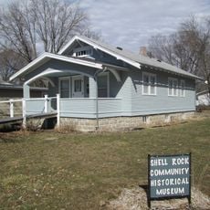
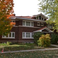
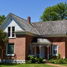
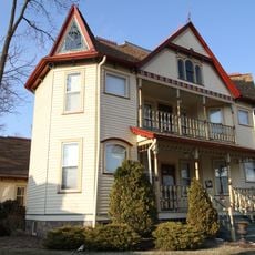
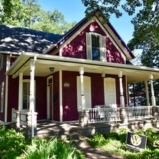
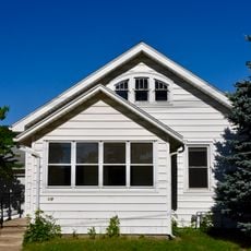
The county reflects traditional rural life where small-town communities form the backbone of daily life. Residents maintain connections to agriculture and land stewardship as central parts of their identity.
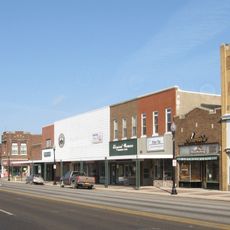
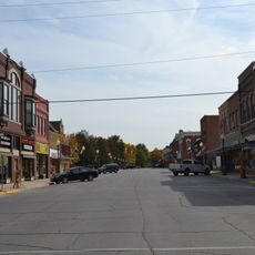
Visitors will find most services and amenities concentrated in the town of Allison. Planning ahead is wise since the area is rural and options for dining, lodging, and supplies can be limited.
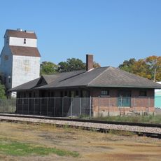
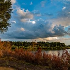
The area stands out for the absence of traffic lights, four-lane highways, and hospitals. This distinction makes it remarkably different from most American counties and reflects its commitment to smaller-scale development.
The community of curious travelers
AroundUs brings together thousands of curated places, local tips, and hidden gems, enriched daily by 60,000 contributors worldwide.