Enable Location

We need your location to show you interesting places around you

Discover nearby places

Find interesting locations and hidden gems around you

Precise directions

Get accurate directions and distances to places

Your location is never shared with other users. It's only used when you tap the location button.

Wayne County

Log in to your account

Start exploring — it's free

Trusted by 62,169 travelers worldwide

Continue with Google
Continue with Apple
or

We will send you a code to connect

By continuing, you accept our Terms and Conditions and our Privacy Policy

Check your inbox

We've sent a pincode in your inbox. Please enter the code below.

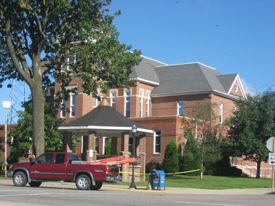
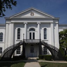
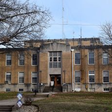
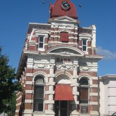
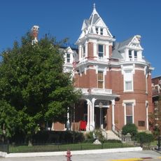
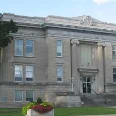
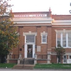
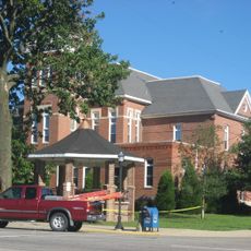
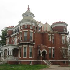
Wayne County, County seat in southern Illinois, United States.

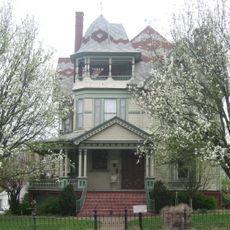
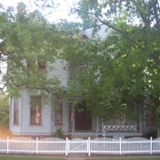
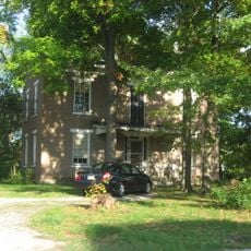
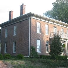
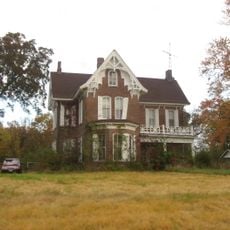
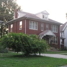
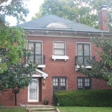
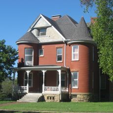
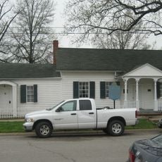
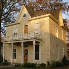
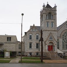
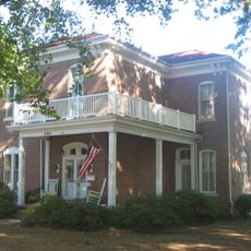
Wayne County is an administrative division in southern Illinois containing several municipalities and villages connected by a network of highways. The region spans rural and small-town areas, with Fairfield serving as its largest population center.

Wayne County was established in 1819 from Edwards County and named after General Anthony Wayne, a veteran of the American Revolutionary War. Its creation reflects Illinois's early westward expansion.

Twenty different townships make up Wayne County, each maintaining its own local government structure and community identity within the larger county framework.

The region is accessible via Interstate 64, US Route 45, and several Illinois State Routes connecting to neighboring areas. These main highways make it easy to navigate between the different communities throughout the county.

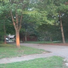
Sam Dale Lake State Conservation Area sits within the county boundaries, providing wildlife habitat and outdoor recreation spaces. This protected area reflects the local commitment to preserving natural spaces.

The community of curious travelers

AroundUs brings together thousands of curated places, local tips, and hidden gems, enriched daily by 60,000 contributors worldwide.

Start exploring
Location
Inception
1819
Capital city
Fairfield
Shares border with
Clay County, Hamilton County, Richland County, Edwards County, White County, Jefferson County, Marion County
GPS coordinates
38.43000,-88.42000
Latest update
December 7, 2025 19:29
Around this place
5th District Appellate Court
United States of America

5th District Appellate Court

44.5 km
St. John's Episcopal Church
United States of America

St. John's Episcopal Church

32.2 km
Ambrose Hopkinson House
United States of America

Ambrose Hopkinson House

44.2 km
Cedarhurst Center for the Arts
United States of America

Cedarhurst Center for the Arts

45.2 km
William W. Gray House
United States of America

William W. Gray House

41.6 km
Shriver House
United States of America

Shriver House

27.4 km
Paine House
United States of America

Paine House

29.8 km
Hamilton County Courthouse
United States of America

Hamilton County Courthouse

38.8 km
Badollet House
United States of America

Badollet House

51 km
C. H. Judd House
United States of America

C. H. Judd House

35.6 km
Elliott Street Historic District
United States of America

Elliott Street Historic District

44.3 km
Cloud State Bank
United States of America

Cloud State Bank

38.9 km
Pearl and Bess Meyer House
United States of America

Pearl and Bess Meyer House

27.4 km
Aaron G. Cloud House
United States of America

Aaron G. Cloud House

38.9 km
Clay County Courthouse
United States of America

Clay County Courthouse

38.8 km
Marion County Courthouse
United States of America

Marion County Courthouse

50.7 km
Olney Carnegie Library
United States of America

Olney Carnegie Library

44.6 km
Old Morrison Mill
United States of America

Old Morrison Mill

24.5 km
Wayne County Courthouse
United States of America

Wayne County Courthouse

7.8 km
Charles and Naomi Bachmann House
United States of America

Charles and Naomi Bachmann House

51 km
Larchmound
United States of America

Larchmound

43.7 km
James Robert Williams House
United States of America

James Robert Williams House

44.2 km
Chalon Guard and Emma Blades Cloud House
United States of America

Chalon Guard and Emma Blades Cloud House

38.9 km
Robinson-Stewart House
United States of America

Robinson-Stewart House

44.2 km
Turney-Hall House
United States of America

Turney-Hall House

7.7 km
Carmi Chapter House
United States of America

Carmi Chapter House

44.2 km
Methodist Episcopal Church
United States of America

Methodist Episcopal Church

50.7 km
G.J. George House
United States of America

G.J. George House

7.7 km
Show the full map
« Wayne County - County seat in southern Illinois, United States » is provided by Around Us (aroundus.com). Images and texts are derived from Wikimedia project under a Creative Commons license. You are allowed to copy, distribute, and modify copies of this page, under the conditions set by the license, as long as this note is clearly visible.

Discover hidden gems everywhere you go!

From secret cafés to breathtaking viewpoints, skip the crowded tourist spots and find places that match your style. Our app makes it easy with voice search, smart filtering, route optimization, and insider tips from travelers worldwide. Download now for the complete mobile experience.

Around Us App Screenshot

A unique approach to discovering new places

Le Figaro

All the places worth exploring

France Info

A tailor-made excursion in just a few clicks

20 Minutes

Around Us
Travel Guide & Maps
Download

Send to your phone

QR Code
1

Open the camera app on your mobile.

2

Point at the QR code with your camera. A notification will appear.

3

Tap the notification to open the link.