Enable Location

We need your location to show you interesting places around you

Discover nearby places

Find interesting locations and hidden gems around you

Precise directions

Get accurate directions and distances to places

Your location is never shared with other users. It's only used when you tap the location button.

Crawford County

Log in to your account

Start exploring — it's free

Trusted by 62,835 travelers worldwide

Continue with Google
Continue with Apple
or

We will send you a code to connect

By continuing, you accept our Terms and Conditions and our Privacy Policy

Check your inbox

We've sent a pincode in your inbox. Please enter the code below.

Crawford County, Administrative county in west-central Iowa, United States

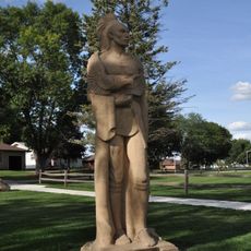
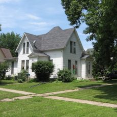
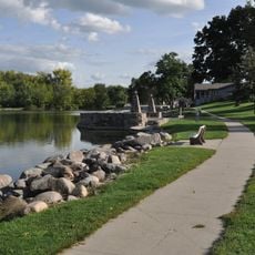
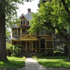
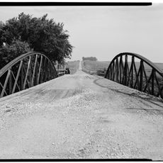
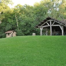
Crawford County is an administrative area in west-central Iowa that serves as a regional center for government, commerce, and community services. The county includes several small towns and rural areas where farming and local businesses form the backbone of daily life.

The area was established by the Iowa Legislature in 1851 and named after William Harris Crawford, a former U.S. Secretary of the Treasury from Georgia. Its current boundaries took shape when eastern townships from neighboring Monona County were incorporated during the 1860s.

The county population of 16,525 residents represents a mix of cultural backgrounds, with substantial White and Hispanic communities contributing to local demographics.

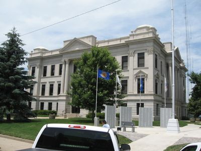
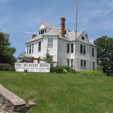
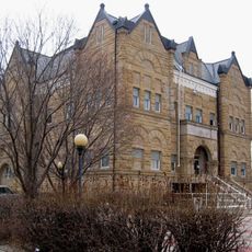
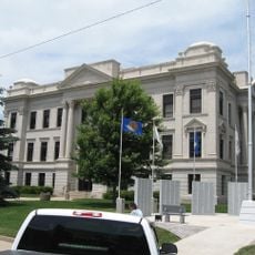
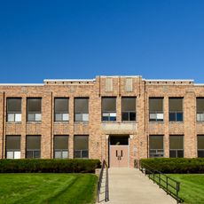
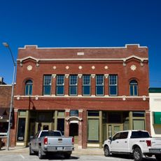
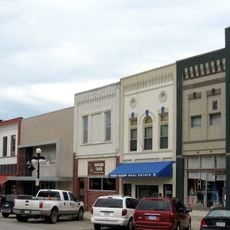
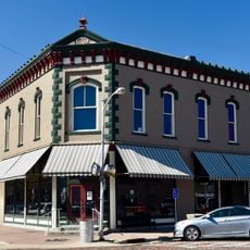
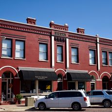
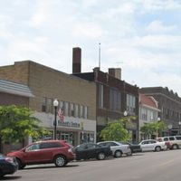
Visitors will find the main administrative offices and courthouse in Denison, where local government services are available. The best way to explore the area is by driving through the smaller towns and rural countryside that connect the various communities.

The county incorporated four eastern townships from neighboring Monona County in 1865, establishing its current geographical boundaries through adjustments completed by 1872.

The community of curious travelers

AroundUs brings together thousands of curated places, local tips, and hidden gems, enriched daily by 60,000 contributors worldwide.

Start exploring
Location
Inception
1837
Capital city
Denison
Shares border with
Ida County, Shelby County, Sac County, Carroll County, Audubon County, Harrison County, Monona County, Woodbury County
GPS coordinates
42.03722,-95.37861
Latest update
December 10, 2025 15:56
Around this place
Black Hawk State Park
United States of America

Black Hawk State Park

40.9 km
Simon E. Dow House
United States of America

Simon E. Dow House

15.9 km
St. Boniface Catholic Church
United States of America

St. Boniface Catholic Church

35.2 km
William A. McHenry House
United States of America

William A. McHenry House

3.1 km
Ida County Courthouse
United States of America

Ida County Courthouse

34.7 km
Trinity Memorial Episcopal Church
United States of America

Trinity Memorial Episcopal Church

36.6 km
Shelby County Courthouse
United States of America

Shelby County Courthouse

42.7 km
Crawford County Courthouse
United States of America

Crawford County Courthouse

2.9 km
Chief Black Hawk Statue
United States of America

Chief Black Hawk Statue

41 km
Carroll County Courthouse
United States of America

Carroll County Courthouse

42.4 km
Carey House, Denison, Iowa
United States of America

Carey House, Denison, Iowa

3.1 km
Clarence D. Chamberlin House
United States of America

Clarence D. Chamberlin House

3.3 km
Lakeside Park Historic District
United States of America

Lakeside Park Historic District

40.6 km
United States of America

South Jordan Cemetery

42.4 km
Woodbine Normal and Grade School
United States of America

Woodbine Normal and Grade School

43 km
Alvin Bushnell Bell House
United States of America

Alvin Bushnell Bell House

35 km
Nishnabotna River Bridge
United States of America

Nishnabotna River Bridge

21.1 km
I.O.O.F. Hall
United States of America

I.O.O.F. Hall

27.5 km
Nishnabotna River Bridge
United States of America

Nishnabotna River Bridge

17.4 km
Harlan Courthouse Square Commercial District
United States of America

Harlan Courthouse Square Commercial District

42.5 km
Woodbine Public Library
United States of America

Woodbine Public Library

42.9 km
Siebels' Department Store-Boyer Valley Bank
United States of America

Siebels' Department Store-Boyer Valley Bank

42.8 km
Woodbine Lincoln Highway and Brick Street Historic District
United States of America

Woodbine Lincoln Highway and Brick Street Historic District

43 km
Woodbine Savings Bank
United States of America

Woodbine Savings Bank

42.8 km
Floral Hall
United States of America

Floral Hall

41.8 km
George Rewerts House
United States of America

George Rewerts House

23.4 km
Blackhawk State Park, Denison Beach Area
United States of America

Blackhawk State Park, Denison Beach Area

40.9 km
Blackhawk State Park, Black Hawk Preserve (Area B)
United States of America

Blackhawk State Park, Black Hawk Preserve (Area B)

40.4 km
Show the full map
Administrative divisions
« Crawford County - Administrative county in west-central Iowa, United States » is provided by Around Us (aroundus.com). Images and texts are derived from Wikimedia project under a Creative Commons license. You are allowed to copy, distribute, and modify copies of this page, under the conditions set by the license, as long as this note is clearly visible.

Discover hidden gems everywhere you go!

From secret cafés to breathtaking viewpoints, skip the crowded tourist spots and find places that match your style. Our app makes it easy with voice search, smart filtering, route optimization, and insider tips from travelers worldwide. Download now for the complete mobile experience.

Around Us App Screenshot

A unique approach to discovering new places

Le Figaro

All the places worth exploring

France Info

A tailor-made excursion in just a few clicks

20 Minutes

Around Us
Travel Guide & Maps
Download

Send to your phone

QR Code
1

Open the camera app on your mobile.

2

Point at the QR code with your camera. A notification will appear.

3

Tap the notification to open the link.