Enable Location

We need your location to show you interesting places around you

Discover nearby places

Find interesting locations and hidden gems around you

Precise directions

Get accurate directions and distances to places

Your location is never shared with other users. It's only used when you tap the location button.

Perry County

Log in to your account

Start exploring — it's free

Trusted by 62,796 travelers worldwide

Continue with Google
Continue with Apple
or

We will send you a code to connect

By continuing, you accept our Terms and Conditions and our Privacy Policy

Check your inbox

We've sent a pincode in your inbox. Please enter the code below.

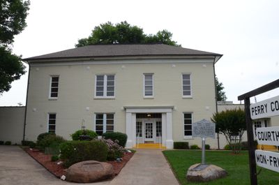
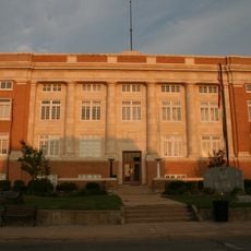
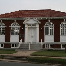
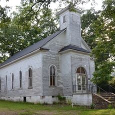
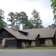
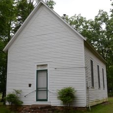
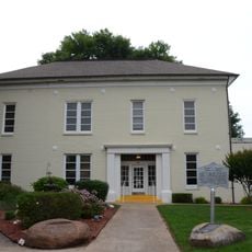
Perry County, Administrative county in Central Arkansas, US.

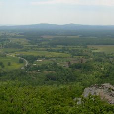
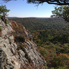
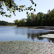
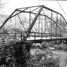
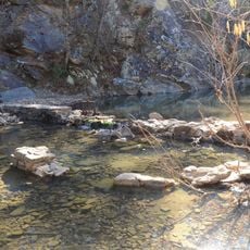
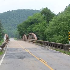
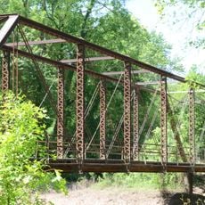
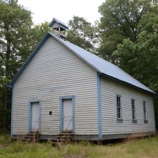
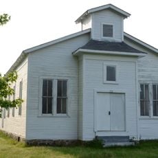
Perry County is an administrative division in central Arkansas covering diverse terrain with portions of the Ouachita National Forest. The area includes several recreational lakes and features a mixed landscape of forested and open land.

The county was officially established in 1840 and named after an American naval commander who played a role in early United States military history. Settlement followed traditional patterns with emphasis on agricultural development.

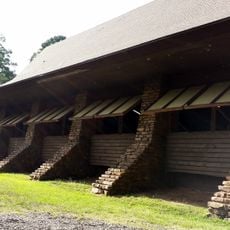
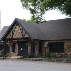
The Arkansas Goat Festival brings together farmers, artisans, and visitors to celebrate regional agricultural traditions. The event reflects the importance of goat farming in the local economy and rural way of life.

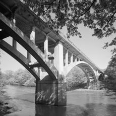
The area is accessible by three main highways that connect to the Little Rock metropolitan region and provide access to major attractions. The best time to visit depends on planned activities, with moderate temperatures in spring and fall.

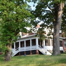
The Heifer Ranch operates as a training center where communities from different parts of the world learn sustainable farming methods. Visitors can see how traditional practices combine with modern approaches to help farmers globally.

The community of curious travelers

AroundUs brings together thousands of curated places, local tips, and hidden gems, enriched daily by 60,000 contributors worldwide.

Start exploring
Location
Inception
December 18, 1840
Capital city
Perryville
Shares border with
Conway County, Garland County, Faulkner County, Pulaski County, Saline County, Yell County
GPS coordinates
34.96028,-92.93528
Latest update
December 10, 2025 15:55
Around this place
Petit Jean State Park
United States of America

Petit Jean State Park

17.2 km
Flatside Wilderness
United States of America

Flatside Wilderness

11.3 km
CCC architecture of Petit Jean State Park
United States of America

CCC architecture of Petit Jean State Park

18.7 km
Petit Jean State Park-Lake Bailey-Roosevelt Lake Historic District
United States of America

Petit Jean State Park-Lake Bailey-Roosevelt Lake Historic District

18.9 km
Conway County Courthouse
United States of America

Conway County Courthouse

27.5 km
Fourche LaFave River Bridge
United States of America

Fourche LaFave River Bridge

19.8 km
Cedar Creek Bridge
United States of America

Cedar Creek Bridge

18.8 km
Wallace Bridge
United States of America

Wallace Bridge

11.3 km
Iron Springs Recreation Area
United States of America

Iron Springs Recreation Area

25.3 km
Aycock House
United States of America

Aycock House

27.2 km
South Fourche LaFave River Bridge
United States of America

South Fourche LaFave River Bridge

18.7 km
Cox House
United States of America

Cox House

27.2 km
West Church Street Historic District
United States of America

West Church Street Historic District

27.2 km
Mountain View Farm
United States of America

Mountain View Farm

32.9 km
Camp House
United States of America

Camp House

4.8 km
Conway County Library
United States of America

Conway County Library

27.4 km
Houston Methodist Episcopal Church, South
United States of America

Houston Methodist Episcopal Church, South

23.5 km
Camp Ouachita Girl Scout Camp Historic District
United States of America

Camp Ouachita Girl Scout Camp Historic District

14.5 km
Trinity Lutheran Church
United States of America

Trinity Lutheran Church

19.2 km
Petit Jean River Bridge
United States of America

Petit Jean River Bridge

30.9 km
Perry County Courthouse
United States of America

Perry County Courthouse

13.2 km
C.L. Sailor House
United States of America

C.L. Sailor House

27.9 km
Perryville American Legion Building
United States of America

Perryville American Legion Building

13 km
Hawks Schoolhouse
United States of America

Hawks Schoolhouse

26.9 km
Bigelow Methodist Episcopal Church, South
United States of America

Bigelow Methodist Episcopal Church, South

28.2 km
Perryville Commercial Historic District
United States of America

Perryville Commercial Historic District

13.1 km
Moose Addition Neighborhood Historic District
United States of America

Moose Addition Neighborhood Historic District

27.2 km
Evans-Neuhart House
United States of America

Evans-Neuhart House

32.7 km
Show the full map
« Perry County - Administrative county in Central Arkansas, US » is provided by Around Us (aroundus.com). Images and texts are derived from Wikimedia project under a Creative Commons license. You are allowed to copy, distribute, and modify copies of this page, under the conditions set by the license, as long as this note is clearly visible.

Discover hidden gems everywhere you go!

From secret cafés to breathtaking viewpoints, skip the crowded tourist spots and find places that match your style. Our app makes it easy with voice search, smart filtering, route optimization, and insider tips from travelers worldwide. Download now for the complete mobile experience.

Around Us App Screenshot

A unique approach to discovering new places

Le Figaro

All the places worth exploring

France Info

A tailor-made excursion in just a few clicks

20 Minutes

Around Us
Travel Guide & Maps
Download

Send to your phone

QR Code
1

Open the camera app on your mobile.

2

Point at the QR code with your camera. A notification will appear.

3

Tap the notification to open the link.