Enable Location

We need your location to show you interesting places around you

Discover nearby places

Find interesting locations and hidden gems around you

Precise directions

Get accurate directions and distances to places

Your location is never shared with other users. It's only used when you tap the location button.

Searcy County

Log in to your account

Start exploring — it's free

Trusted by 62,796 travelers worldwide

Continue with Google
Continue with Apple
or

We will send you a code to connect

By continuing, you accept our Terms and Conditions and our Privacy Policy

Check your inbox

We've sent a pincode in your inbox. Please enter the code below.

Searcy County, County administrative division in Arkansas, United States.

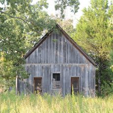
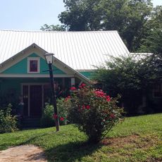
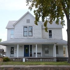
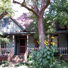
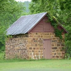
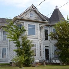
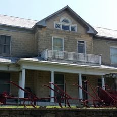
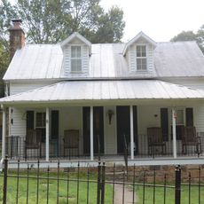
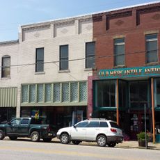
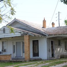
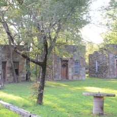
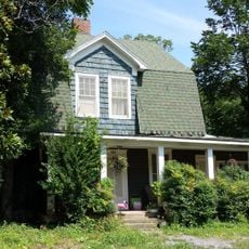
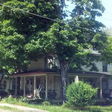
Searcy County is an administrative division in Arkansas that stretches across forested land and open countryside. The territory contains small towns and rural communities spread throughout its rolling terrain.

The area was established in 1838 and named after Richard Searcy, the first clerk of the Arkansas Territory. This creation marked part of the state's growth during the 1800s.

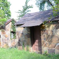
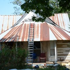
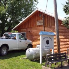
The county keeps its rural character alive through community gatherings and farming traditions that shape how people live and work together. These practices connect the different towns and give the area its distinctive way of life.

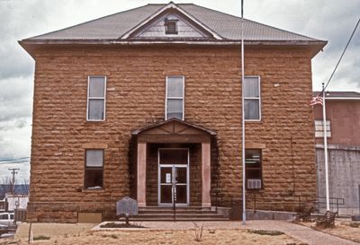
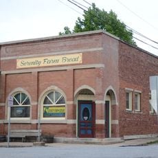
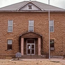
Marshall is the main town where county services are based and where most visitors find information and support. U.S. Highway 65 and state roads connect the different communities and make travel easy.

The area declared itself the Chocolate Roll Capital of the World and has celebrated this local dessert with an annual festival since 2012. This event has brought recognition to the region from across the country.

The community of curious travelers

AroundUs brings together thousands of curated places, local tips, and hidden gems, enriched daily by 60,000 contributors worldwide.

Start exploring
Location
Inception
December 13, 1838
Capital city
Marshall
Shares border with
Marion County, Pope County, Van Buren County, Baxter County, Stone County, Boone County, Newton County
GPS coordinates
35.92556,-92.70000
Latest update
December 10, 2025 16:01
Around this place
Buffalo River State Park
United States of America

Buffalo River State Park

20.7 km
Henley Hotel
United States of America

Henley Hotel

14.8 km
Bank of Marshall Building
United States of America

Bank of Marshall Building

6.4 km
Pea Ridge School Building
United States of America

Pea Ridge School Building

19.5 km
Bates Tourist Court
United States of America

Bates Tourist Court

6.3 km
Cold Springs School
United States of America

Cold Springs School

27.2 km
Anthony Luna House
United States of America

Anthony Luna House

6.5 km
Farmers Bank Building
United States of America

Farmers Bank Building

16.6 km
Dr. J.O. Cotton House
United States of America

Dr. J.O. Cotton House

16.6 km
Bromley-Mills-Treece House
United States of America

Bromley-Mills-Treece House

6.7 km
Dr. Clay House
United States of America

Dr. Clay House

16.6 km
Jasper E. Treece Building
United States of America

Jasper E. Treece Building

9.7 km
Dr. Sam G. Daniel House
United States of America

Dr. Sam G. Daniel House

6.3 km
Columbus Hatchett House
United States of America

Columbus Hatchett House

16.9 km
Gates-Helm Farm
United States of America

Gates-Helm Farm

12.1 km
Searcy County Courthouse
United States of America

Searcy County Courthouse

6.4 km
Sanders-Hollabaugh House
United States of America

Sanders-Hollabaugh House

6.5 km
American Legion Post No. 131
United States of America

American Legion Post No. 131

16.6 km
Leslie Commercial Historic District
United States of America

Leslie Commercial Historic District

16.6 km
Mary Greenhaw Memorial Methodist Episcopal Church South
United States of America

Mary Greenhaw Memorial Methodist Episcopal Church South

6.5 km
Charley Passmore House
United States of America

Charley Passmore House

6.5 km
Bud Fendley House
United States of America

Bud Fendley House

6.7 km
Leslie-Rolen House
United States of America

Leslie-Rolen House

16.7 km
S.A. Lay House
United States of America

S.A. Lay House

6.4 km
Willmering Tourist Cabins Historic District
United States of America

Willmering Tourist Cabins Historic District

6.5 km
Guy Bartley House
United States of America

Guy Bartley House

16.5 km
J.C. Miller House
United States of America

J.C. Miller House

16.4 km
Greene Thomas House
United States of America

Greene Thomas House

14.2 km
Show the full map
« Searcy County - County administrative division in Arkansas, United States » is provided by Around Us (aroundus.com). Images and texts are derived from Wikimedia project under a Creative Commons license. You are allowed to copy, distribute, and modify copies of this page, under the conditions set by the license, as long as this note is clearly visible.

Discover hidden gems everywhere you go!

From secret cafés to breathtaking viewpoints, skip the crowded tourist spots and find places that match your style. Our app makes it easy with voice search, smart filtering, route optimization, and insider tips from travelers worldwide. Download now for the complete mobile experience.

Around Us App Screenshot

A unique approach to discovering new places

Le Figaro

All the places worth exploring

France Info

A tailor-made excursion in just a few clicks

20 Minutes

Around Us
Travel Guide & Maps
Download

Send to your phone

QR Code
1

Open the camera app on your mobile.

2

Point at the QR code with your camera. A notification will appear.

3

Tap the notification to open the link.