Enable Location

We need your location to show you interesting places around you

Discover nearby places

Find interesting locations and hidden gems around you

Precise directions

Get accurate directions and distances to places

Your location is never shared with other users. It's only used when you tap the location button.

Buffalo River State Park

Log in to your account

Start exploring — it's free

Trusted by 61,984 travelers worldwide

Continue with Google
Continue with Apple
or

We will send you a code to connect

By continuing, you accept our Terms and Conditions and our Privacy Policy

Check your inbox

We've sent a pincode in your inbox. Please enter the code below.

Buffalo River State Park, State park and historic site in Marion County, Arkansas.

Buffalo River State Park is a natural area covering about 35 acres along the Buffalo National River in the Ozark Mountains. The grounds feature hiking trails through forests, past limestone cliffs, and natural caves.

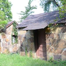
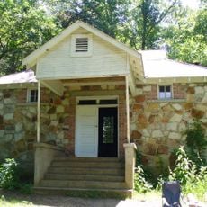
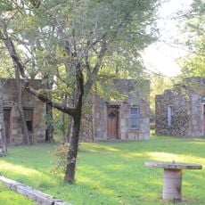
The park was founded in 1938 and developed by the Civilian Conservation Corps, a work program during the Great Depression. The Corps built structures with rustic design following National Park Service guidelines.

The Indian Rockhouse Trail shows visitors where people once lived and worked, connecting the area's history to its natural setting. Today, hikers can walk these paths and understand how earlier inhabitants used this land.

The park is open year-round for visitors, with marked hiking trails suited to different fitness levels and designated camping areas. Visitors can also rent equipment for water activities on the Buffalo National River.

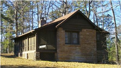
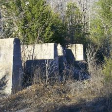
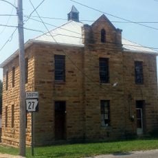
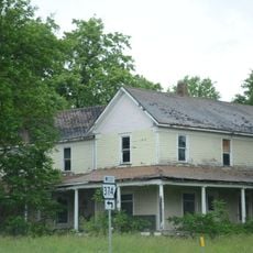
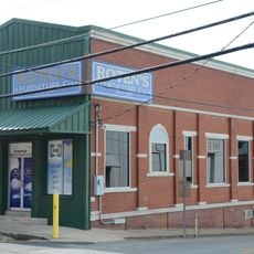
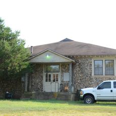
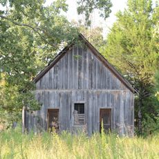
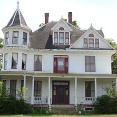
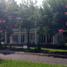
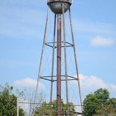
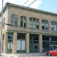
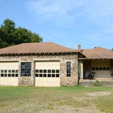
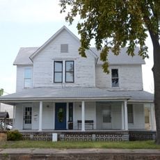
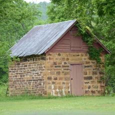
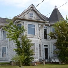
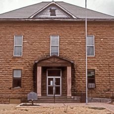
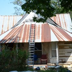
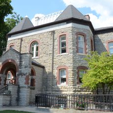
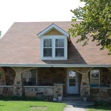
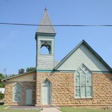
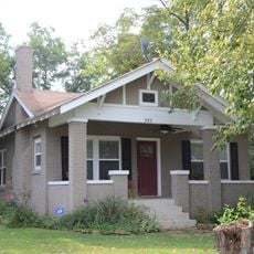
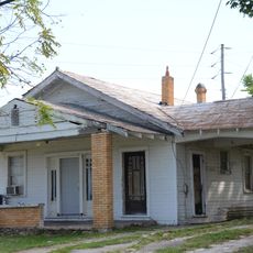
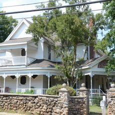
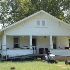
The property contains eight separate buildings listed on the National Register of Historic Places, including the Cold Springs School. These landmarks are scattered across the park grounds and show the diverse historical development of the region.

The community of curious travelers

AroundUs brings together thousands of curated places, local tips, and hidden gems, enriched daily by 60,000 contributors worldwide.

Start exploring
Location
Architectural style
rustic architecture
GPS coordinates
36.07806,-92.56833
Latest update
December 14, 2025 11:23
Around this place
Cotter Bridge
United States of America

Cotter Bridge

21.2 km
Rush Historic District
United States of America

Rush Historic District

6.1 km
Cotter High School
United States of America

Cotter High School

22.8 km
Old Searcy County Jail
United States of America

Old Searcy County Jail

19.4 km
Henley Hotel
United States of America

Henley Hotel

21.8 km
Bank of Marshall Building
United States of America

Bank of Marshall Building

19.6 km
Hirst-Mathew Hall
United States of America

Hirst-Mathew Hall

20.4 km
Pea Ridge School Building
United States of America

Pea Ridge School Building

17 km
Cowdrey House
United States of America

Cowdrey House

19.1 km
Bates Tourist Court
United States of America

Bates Tourist Court

19.5 km
Cold Springs School
United States of America

Cold Springs School

9.1 km
Anthony Luna House
United States of America

Anthony Luna House

19.6 km
Cotter Water Tower
United States of America

Cotter Water Tower

22.1 km
Layton Building
United States of America

Layton Building

19.4 km
Aggie Workshop
United States of America

Aggie Workshop

20.4 km
Bromley-Mills-Treece House
United States of America

Bromley-Mills-Treece House

19.6 km
Jasper E. Treece Building
United States of America

Jasper E. Treece Building

19.3 km
Dr. Sam G. Daniel House
United States of America

Dr. Sam G. Daniel House

19.6 km
Searcy County Courthouse
United States of America

Searcy County Courthouse

19.6 km
Sanders-Hollabaugh House
United States of America

Sanders-Hollabaugh House

19.4 km
Marion County Courthouse
United States of America

Marion County Courthouse

19.4 km
Charley Passmore House
United States of America

Charley Passmore House

20.1 km
Mary Greenhaw Memorial Methodist Episcopal Church South
United States of America

Mary Greenhaw Memorial Methodist Episcopal Church South

19.5 km
Bud Fendley House
United States of America

Bud Fendley House

19.7 km
S.A. Lay House
United States of America

S.A. Lay House

19.5 km
Carter-Jones House
United States of America

Carter-Jones House

19.5 km
Willmering Tourist Cabins Historic District
United States of America

Willmering Tourist Cabins Historic District

20.2 km
J.M. McCall House
United States of America

J.M. McCall House

20 km
Show the full map
« Buffalo River State Park - State park and historic site in Marion County, Arkansas » is provided by Around Us (aroundus.com). Images and texts are derived from Wikimedia project under a Creative Commons license. You are allowed to copy, distribute, and modify copies of this page, under the conditions set by the license, as long as this note is clearly visible.

Discover hidden gems everywhere you go!

From secret cafés to breathtaking viewpoints, skip the crowded tourist spots and find places that match your style. Our app makes it easy with voice search, smart filtering, route optimization, and insider tips from travelers worldwide. Download now for the complete mobile experience.

Around Us App Screenshot

A unique approach to discovering new places

Le Figaro

All the places worth exploring

France Info

A tailor-made excursion in just a few clicks

20 Minutes

Around Us
Travel Guide & Maps
Download

Send to your phone

QR Code
1

Open the camera app on your mobile.

2

Point at the QR code with your camera. A notification will appear.

3

Tap the notification to open the link.